2691 E Highway 5 Whitesburg, GA 30185
Estimated Value: $381,000 - $971,610
4
Beds
4
Baths
2,657
Sq Ft
$255/Sq Ft
Est. Value
About This Home
This home is located at 2691 E Highway 5, Whitesburg, GA 30185 and is currently estimated at $676,305, approximately $254 per square foot. 2691 E Highway 5 is a home with nearby schools including Whitesburg Elementary School, Central Middle School, and Central High School.
Ownership History
Date
Name
Owned For
Owner Type
Purchase Details
Closed on
Dec 11, 1997
Sold by
Buchanan Kent and Buchanan Vale
Bought by
Buchanan Kent and Buchanan Vale
Current Estimated Value
Purchase Details
Closed on
Aug 20, 1996
Sold by
Buchanan Kent and Buchanan Vale
Bought by
Buchanan Kent and Buchanan Vale
Purchase Details
Closed on
Aug 17, 1996
Sold by
Buchanan
Bought by
Buchanan Kent and Buchanan Vale
Purchase Details
Closed on
Dec 15, 1992
Bought by
Buchanan
Create a Home Valuation Report for This Property
The Home Valuation Report is an in-depth analysis detailing your home's value as well as a comparison with similar homes in the area
Home Values in the Area
Average Home Value in this Area
Purchase History
| Date | Buyer | Sale Price | Title Company |
|---|---|---|---|
| Buchanan Kent | -- | -- | |
| Buchanan Kent | -- | -- | |
| Buchanan Kent | -- | -- | |
| Buchanan | $69,400 | -- |
Source: Public Records
Tax History Compared to Growth
Tax History
| Year | Tax Paid | Tax Assessment Tax Assessment Total Assessment is a certain percentage of the fair market value that is determined by local assessors to be the total taxable value of land and additions on the property. | Land | Improvement |
|---|---|---|---|---|
| 2025 | $2,854 | $336,003 | $176,483 | $159,520 |
| 2024 | $2,879 | $336,003 | $176,483 | $159,520 |
| 2023 | $2,879 | $286,794 | $141,186 | $145,608 |
| 2022 | $2,449 | $211,068 | $94,123 | $116,945 |
| 2021 | $2,325 | $175,283 | $75,299 | $99,984 |
| 2020 | $2,190 | $158,835 | $68,454 | $90,381 |
| 2019 | $2,051 | $151,135 | $68,454 | $82,681 |
| 2018 | $1,867 | $140,478 | $68,454 | $72,024 |
| 2017 | $1,861 | $140,478 | $68,454 | $72,024 |
| 2016 | $1,853 | $140,478 | $68,454 | $72,024 |
| 2015 | $2,371 | $102,497 | $27,162 | $75,336 |
| 2014 | $2,279 | $97,989 | $22,653 | $75,336 |
Source: Public Records
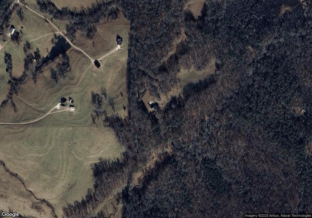
Map
Nearby Homes
- 10 Wigwam Cir
- 0 Hamilton Rd Unit LOT 1 10554357
- 0 Hamilton Rd Unit 10480307
- 0 Hamilton Rd Unit 10480360
- 46 Helen Ct
- 8050 Campbellton Redwine Rd
- 8322 Loch Lomand Ln
- 8342 Loch Lomand Ln
- 8345 Loch Lomand Ln
- 8325 Loch Lomand Ln
- 8351 Dublin Dr
- 8910 Callaway Dr
- 8291 E Highway 5
- 8981 Callaway Dr
- 8870 Callaway Dr
- 8970 Callaway Dr
- 8754 St Andrews Pkwy
- Hazel Plan at St. Andrews
- Fairview Plan at St. Andrews
- Elder Plan at St. Andrews
- 2571 E Highway 5
- 2473 E Highway 5
- 335 Lambert Rd
- 2665 E Highway 5
- 2631 E Highway 5
- 2631 Georgia 5
- 2551 E Highway 5
- 343 Lambert Rd
- 439 Lambert Rd
- 375 Lambert Rd
- 2672 E Highway 5
- 2620 E Highway 5
- 2476 E Highway 5
- 301 Lambert Rd
- 2396 E Highway 5
- 0 Lambert Rd Unit 9026601
- 483 Lambert Rd
- 242 Lambert Rd
- 2728 E Highway 5
- 111 Lambert Rd