26973 New Lawrence Dr Leavenworth, KS 66048
Estimated Value: $503,000 - $610,000
3
Beds
3
Baths
1,786
Sq Ft
$305/Sq Ft
Est. Value
About This Home
This home is located at 26973 New Lawrence Dr, Leavenworth, KS 66048 and is currently estimated at $544,375, approximately $304 per square foot. 26973 New Lawrence Dr is a home located in Leavenworth County with nearby schools including Lansing Elementary School, Lansing Middle 6-8, and Lansing High 9-12.
Ownership History
Date
Name
Owned For
Owner Type
Purchase Details
Closed on
Oct 29, 2008
Sold by
Ditsch Dennis T
Bought by
Dutton Jeffery Thomas and Renne Shawna
Current Estimated Value
Home Financials for this Owner
Home Financials are based on the most recent Mortgage that was taken out on this home.
Original Mortgage
$229,965
Interest Rate
4.32%
Mortgage Type
New Conventional
Create a Home Valuation Report for This Property
The Home Valuation Report is an in-depth analysis detailing your home's value as well as a comparison with similar homes in the area
Home Values in the Area
Average Home Value in this Area
Purchase History
| Date | Buyer | Sale Price | Title Company |
|---|---|---|---|
| Dutton Jeffery Thomas | $232,264 | First American Title |
Source: Public Records
Mortgage History
| Date | Status | Borrower | Loan Amount |
|---|---|---|---|
| Previous Owner | Dutton Jeffery Thomas | $229,965 | |
| Closed | Dutton Jeffery Thomas | $65,890 |
Source: Public Records
Tax History Compared to Growth
Tax History
| Year | Tax Paid | Tax Assessment Tax Assessment Total Assessment is a certain percentage of the fair market value that is determined by local assessors to be the total taxable value of land and additions on the property. | Land | Improvement |
|---|---|---|---|---|
| 2025 | $4,922 | $43,533 | $11,148 | $32,385 |
| 2024 | $4,524 | $43,518 | $9,882 | $33,636 |
| 2023 | $4,524 | $41,822 | $9,876 | $31,946 |
| 2022 | $4,155 | $37,039 | $8,392 | $28,647 |
| 2021 | $4,145 | $36,414 | $7,581 | $28,833 |
| 2020 | $3,834 | $33,144 | $7,244 | $25,900 |
| 2019 | $3,554 | $30,697 | $6,890 | $23,807 |
| 2018 | $3,218 | $27,842 | $5,955 | $21,887 |
| 2017 | $3,248 | $28,249 | $5,822 | $22,427 |
| 2016 | $3,064 | $26,703 | $5,713 | $20,990 |
| 2015 | $2,924 | $25,601 | $5,707 | $19,894 |
| 2014 | $2,781 | $24,802 | $5,722 | $19,080 |
Source: Public Records
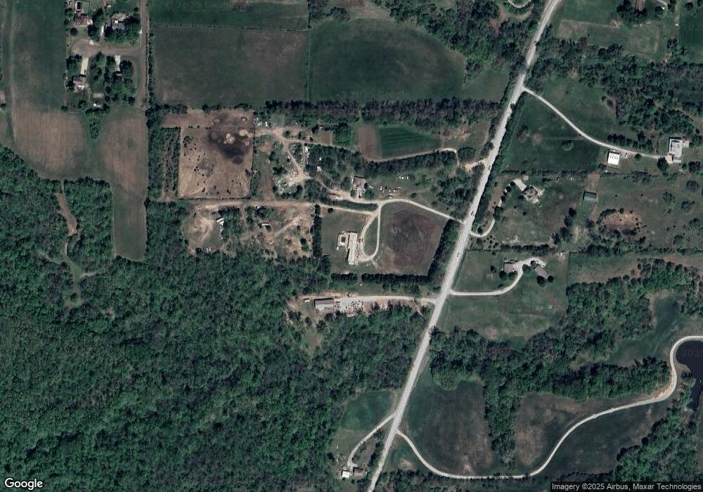
Map
Nearby Homes
- 16055 W Eisenhower Rd
- 15915 Eisenhower Rd
- 0000 Eisenhower Rd
- 1605 Shadow Dr
- 2151 Shenandoah Dr
- 2150 Shenandoah Dr
- 4421 Grand Ct
- 3703 Clayton Dr
- 17096 Eisenhower Rd
- 1023 Ironwood Ct
- 4301 Ironwood Dr
- 728 Eisenhower Rd
- Lot 6 163rd St
- 4606 Park Ln
- 1013 Sycamore Ridge Dr
- 749 Highland Dr
- 00000 Michals Rd
- 1320 Independence Ct
- 542 Creekside Ct
- 2100 Limit St
- 26987 New Lawrence Dr
- 26865 New Lawrence Dr
- 26968 New Lawrence Dr
- 26870 New Lawrence Dr
- 26815 New Lawrence Dr
- 16211 Whispering Winds Rd
- 26725 New Lawrence Dr
- 16229 Whispering Winds Rd
- 26730 New Lawrence Dr
- 16210 Whispering Winds Rd
- 27010 New Lawrence Dr
- 16228 Whispering Winds Rd
- 26669 New Lawrence Dr
- 16209 Sloan Rd
- 27028 New Lawrence Dr
- 16227 Sloan Rd
- 26670 New Lawrence Dr
- 16208 Sloan Rd
- 15968 Eisenhower Rd
- 15921 Eisenhower Rd