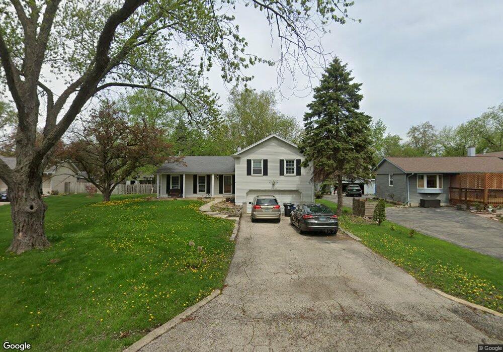
26W290 Stanley St Winfield, IL 60190
Jewell Road NeighborhoodEstimated Value: $424,000 - $621,000
3
Beds
2
Baths
1,615
Sq Ft
$302/Sq Ft
Est. Value
About This Home
This home is located at 26W290 Stanley St, Winfield, IL 60190 and is currently estimated at $487,444, approximately $301 per square foot. 26W290 Stanley St is a home located in DuPage County with nearby schools including Pleasant Hill Elementary School, Monroe Middle School, and Wheaton North High School.
Ownership History
Date
Name
Owned For
Owner Type
Purchase Details
Closed on
Sep 16, 2002
Sold by
Schude Jean M and Jean Schude Trust
Bought by
Gundlach Edwin J and Gundlach Nancy K
Current Estimated Value
Home Financials for this Owner
Home Financials are based on the most recent Mortgage that was taken out on this home.
Original Mortgage
$210,000
Outstanding Balance
$88,748
Interest Rate
6.4%
Estimated Equity
$398,696
Purchase Details
Closed on
Aug 29, 2000
Sold by
Schude Jean and The Ralph & Jean Schude Trust
Bought by
Wagener Carol A
Create a Home Valuation Report for This Property
The Home Valuation Report is an in-depth analysis detailing your home's value as well as a comparison with similar homes in the area
Home Values in the Area
Average Home Value in this Area
Purchase History
| Date | Buyer | Sale Price | Title Company |
|---|---|---|---|
| Gundlach Edwin J | $263,500 | Midwest Title Services Llc | |
| Wagener Carol A | -- | -- |
Source: Public Records
Mortgage History
| Date | Status | Borrower | Loan Amount |
|---|---|---|---|
| Open | Gundlach Edwin J | $210,000 |
Source: Public Records
Tax History Compared to Growth
Tax History
| Year | Tax Paid | Tax Assessment Tax Assessment Total Assessment is a certain percentage of the fair market value that is determined by local assessors to be the total taxable value of land and additions on the property. | Land | Improvement |
|---|---|---|---|---|
| 2024 | $9,190 | $143,307 | $35,058 | $108,249 |
| 2023 | $8,772 | $131,910 | $32,270 | $99,640 |
| 2022 | $8,530 | $124,670 | $30,500 | $94,170 |
| 2021 | $8,082 | $121,720 | $29,780 | $91,940 |
| 2020 | $8,022 | $120,580 | $29,500 | $91,080 |
| 2019 | $7,860 | $117,400 | $28,720 | $88,680 |
| 2018 | $7,212 | $107,660 | $27,060 | $80,600 |
| 2017 | $7,089 | $103,690 | $26,060 | $77,630 |
| 2016 | $7,034 | $99,550 | $25,020 | $74,530 |
| 2015 | $6,998 | $94,970 | $23,870 | $71,100 |
| 2014 | $6,729 | $90,010 | $18,090 | $71,920 |
| 2013 | $6,505 | $90,280 | $18,140 | $72,140 |
Source: Public Records
Map
Nearby Homes
- S045 Pleasant Hill Rd
- S071 Leonard St
- 26W278 Harrison Ave
- 26W537 Barnes Ave
- 26W181 Grand Ave
- 26W447 Harrison Ave
- 26W185 Meadowview Ct
- 0S064 Calvin Ct
- 27W250 Birch St
- 1230 Champion Forest Ct
- 1206 Wheaton Oaks Dr Unit D
- 1149 Wheaton Oaks Dr
- 1N027 Ethel St
- 27W180 Cooley Ave
- 27W277 Waterford Dr
- 0N 634 Knollwood Dr
- 27W375 Oakwood St
- 1N100 Harriet St
- 200 N Erie St
- 0N510 Gary Ave
- 26W278 Stanley St
- 26W304 Stanley St
- N285 Stanley St
- 0N300 Stanley St
- 0N260 Stanley St
- 26W279 Stanley St
- 26W271 Stanley St
- 26W291 Blair St
- 26W307 Blair St
- 26W281 Blair St
- 26W265 Stanley St
- 26W317 Blair St
- 0N251 Stanley St
- 0N252 Stanley St
- 0N320 Stanley St
- 0N311 Peter Rd
- 26W251 Stanley St
- 0N301 Peter Rd
- 0N275 Stanley St
- 0N246 Stanley St