Estimated Value: $751,285 - $840,000
4
Beds
2
Baths
1,810
Sq Ft
$440/Sq Ft
Est. Value
About This Home
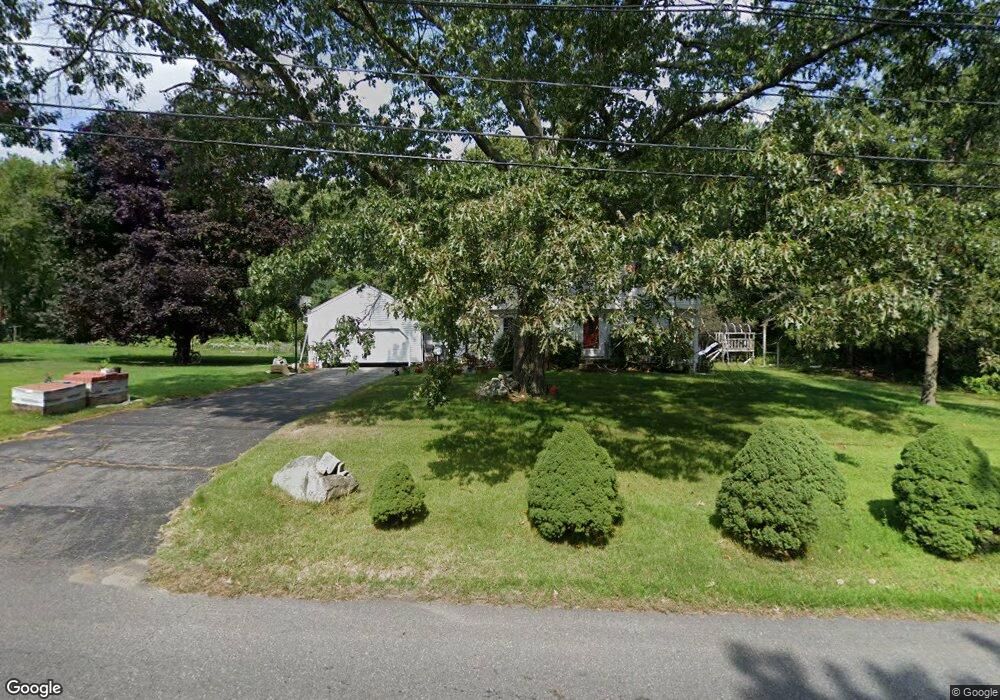
This home is located at 27 Adams St, Acton, MA 01720 and is currently estimated at $796,571, approximately $440 per square foot. 27 Adams St is a home located in Middlesex County with nearby schools including Acton-Boxborough Regional High School, Maynard Knowledge Beginnings, and The Imago School.
Ownership History
Date
Name
Owned For
Owner Type
Purchase Details
Closed on
Feb 1, 2007
Sold by
Tao Charles Z and Lu Jill Q
Bought by
Yi Jin and Huang Zhengyu
Current Estimated Value
Purchase Details
Closed on
Jul 15, 1996
Sold by
Guidoboni Edward S and Guidoboni Phyllis A
Bought by
Tao Charles Z and Lu Jill Q
Create a Home Valuation Report for This Property
The Home Valuation Report is an in-depth analysis detailing your home's value as well as a comparison with similar homes in the area
Home Values in the Area
Average Home Value in this Area
Purchase History
| Date | Buyer | Sale Price | Title Company |
|---|---|---|---|
| Yi Jin | $377,000 | -- | |
| Tao Charles Z | $235,000 | -- |
Source: Public Records
Mortgage History
| Date | Status | Borrower | Loan Amount |
|---|---|---|---|
| Open | Tao Charles Z | $250,000 | |
| Closed | Tao Charles Z | $215,000 | |
| Closed | Tao Charles Z | $232,000 |
Source: Public Records
Tax History
| Year | Tax Paid | Tax Assessment Tax Assessment Total Assessment is a certain percentage of the fair market value that is determined by local assessors to be the total taxable value of land and additions on the property. | Land | Improvement |
|---|---|---|---|---|
| 2025 | $10,792 | $629,300 | $316,100 | $313,200 |
| 2024 | $10,159 | $609,400 | $316,100 | $293,300 |
| 2023 | $9,870 | $562,100 | $287,200 | $274,900 |
| 2022 | $9,521 | $489,500 | $249,700 | $239,800 |
| 2021 | $9,271 | $458,300 | $231,200 | $227,100 |
| 2020 | $8,756 | $455,100 | $231,200 | $223,900 |
| 2019 | $8,302 | $428,600 | $231,200 | $197,400 |
| 2018 | $8,186 | $422,400 | $231,200 | $191,200 |
| 2017 | $8,110 | $425,500 | $231,200 | $194,300 |
| 2016 | $7,998 | $415,900 | $231,200 | $184,700 |
| 2015 | $7,862 | $412,700 | $231,200 | $181,500 |
| 2014 | $7,685 | $395,100 | $231,200 | $163,900 |
Source: Public Records
Map
Nearby Homes
- 70 Powder Mill Rd
- 68 Powder Mill Rd
- 66 Powder Mill Rd
- 23 Deer Path Unit 5
- 1 Drummer Rd Unit A5
- 96 Forest Ridge Rd Unit 96
- 36 Brown St
- 12 Brown St
- 31 Drummer Rd Unit 31
- 63 Conant St
- 128 Parker St Unit 3B
- 22 Douglas Ave Unit 2
- 22 Douglas Ave Unit 1
- 5 Hayes St Unit 5
- 13 Arthur St Unit 15
- 31-33 Roosevelt St
- 30 Brewster Ln
- 1 Vanderbelt Rd
- 40 High St
- 7 Hillcrest Dr
Your Personal Tour Guide
Ask me questions while you tour the home.