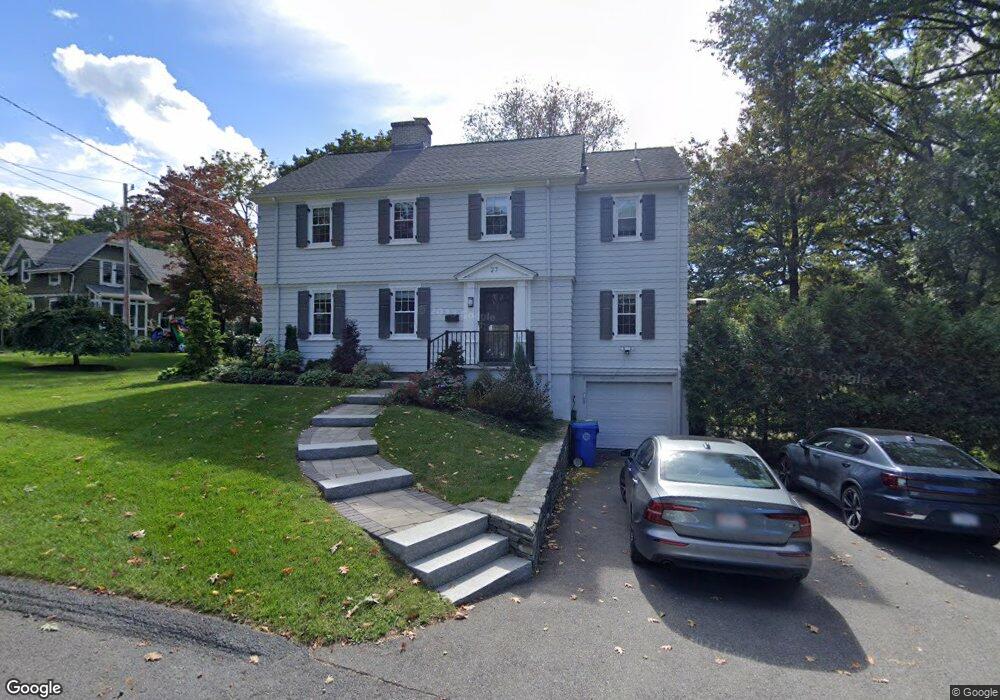
27 Aspen Ave Auburndale, MA 02466
Auburndale NeighborhoodEstimated Value: $1,519,000 - $1,692,000
3
Beds
3
Baths
2,120
Sq Ft
$749/Sq Ft
Est. Value
About This Home
This home is located at 27 Aspen Ave, Auburndale, MA 02466 and is currently estimated at $1,588,591, approximately $749 per square foot. 27 Aspen Ave is a home located in Middlesex County with nearby schools including Williams Elementary School, Charles E Brown Middle School, and Newton South High School.
Ownership History
Date
Name
Owned For
Owner Type
Purchase Details
Closed on
Jan 26, 2021
Sold by
Rosen-Shishko Susan
Bought by
Rorabaugh Philip D and Rosen Susan L
Current Estimated Value
Home Financials for this Owner
Home Financials are based on the most recent Mortgage that was taken out on this home.
Original Mortgage
$501,000
Outstanding Balance
$445,236
Interest Rate
2.6%
Mortgage Type
New Conventional
Estimated Equity
$1,143,355
Purchase Details
Closed on
Feb 27, 1998
Sold by
Benway Joseph J
Bought by
Holman John A
Purchase Details
Closed on
Mar 17, 1995
Sold by
Mahony Virginia L
Bought by
Benway Joseph J
Create a Home Valuation Report for This Property
The Home Valuation Report is an in-depth analysis detailing your home's value as well as a comparison with similar homes in the area
Home Values in the Area
Average Home Value in this Area
Purchase History
| Date | Buyer | Sale Price | Title Company |
|---|---|---|---|
| Rorabaugh Philip D | -- | None Available | |
| Holman John A | $500,000 | -- | |
| Holman John A | $500,000 | -- | |
| Benway Joseph J | $230,000 | -- | |
| Benway Joseph J | $230,000 | -- |
Source: Public Records
Mortgage History
| Date | Status | Borrower | Loan Amount |
|---|---|---|---|
| Open | Rorabaugh Philip D | $501,000 | |
| Previous Owner | Benway Joseph J | $417,000 | |
| Previous Owner | Benway Joseph J | $417,000 |
Source: Public Records
Tax History Compared to Growth
Tax History
| Year | Tax Paid | Tax Assessment Tax Assessment Total Assessment is a certain percentage of the fair market value that is determined by local assessors to be the total taxable value of land and additions on the property. | Land | Improvement |
|---|---|---|---|---|
| 2025 | $12,106 | $1,235,300 | $940,000 | $295,300 |
| 2024 | $11,705 | $1,199,300 | $912,600 | $286,700 |
| 2023 | $11,146 | $1,094,900 | $694,900 | $400,000 |
| 2022 | $10,665 | $1,013,800 | $643,400 | $370,400 |
| 2021 | $10,268 | $954,300 | $607,000 | $347,300 |
| 2020 | $9,963 | $954,300 | $607,000 | $347,300 |
| 2019 | $9,682 | $926,500 | $589,300 | $337,200 |
| 2018 | $9,314 | $860,800 | $533,700 | $327,100 |
| 2017 | $9,031 | $812,100 | $503,500 | $308,600 |
| 2016 | $8,637 | $759,000 | $470,600 | $288,400 |
| 2015 | $9,211 | $793,400 | $439,800 | $353,600 |
Source: Public Records
Map
Nearby Homes
- 17 Lasell St
- 27 Oakwood Rd
- 283 Woodland Rd
- 1754 Washington St
- 224 Auburn St Unit 224
- 224 Auburn St Unit A
- 226 Auburn St Unit 226
- 283 Melrose St
- 1639 Washington St
- 2202 Commonwealth Ave Unit 2
- 2202 Commonwealth Ave Unit 1
- 13 Weir St
- 17 Deforest Rd
- 17 Gilbert St
- 51 Bourne St
- 2084 Washington St
- 62-64 Rowe St Unit B
- 1640 Commonwealth Ave
- 10 Lorraine Cir
- 0 Duncan Rd Unit 72925240
- 101 Hawthorne Ave
- 33 Aspen Ave
- 96 Hawthorne Ave
- 85 Hawthorne Ave
- 107 Hawthorne Ave
- 14 Aspen Ave
- 98 Hawthorne Ave
- 79 Hawthorne Ave
- 111 Hawthorne Ave
- 41 Aspen Ave
- 73 Hawthorne Ave
- 110 Hawthorne Ave
- 6 Aspen Ave
- 96 Lake Ave
- 63 Hawthorne Ave
- 50 Aspen Ave
- 55 Aspen Ave
- 78 Hawthorne Ave
- 78 Hawthorn St
- 0 Hawthorne Ave