27 Augustine Blvd Middletown, DE 19709
Estimated Value: $656,200 - $721,000
4
Beds
3
Baths
3,640
Sq Ft
$190/Sq Ft
Est. Value
About This Home
This home is located at 27 Augustine Blvd, Middletown, DE 19709 and is currently estimated at $693,300, approximately $190 per square foot. 27 Augustine Blvd is a home located in New Castle County with nearby schools including Lorewood Grove Elementary School, Cantwell's Bridge Middle School, and Odessa High School.
Ownership History
Date
Name
Owned For
Owner Type
Purchase Details
Closed on
Jan 21, 2005
Sold by
Blenheim At Augustine Creek Llc
Bought by
Muse Ali and Muse Janette
Current Estimated Value
Home Financials for this Owner
Home Financials are based on the most recent Mortgage that was taken out on this home.
Original Mortgage
$315,240
Outstanding Balance
$147,145
Interest Rate
4.62%
Mortgage Type
Purchase Money Mortgage
Estimated Equity
$546,155
Create a Home Valuation Report for This Property
The Home Valuation Report is an in-depth analysis detailing your home's value as well as a comparison with similar homes in the area
Home Values in the Area
Average Home Value in this Area
Purchase History
| Date | Buyer | Sale Price | Title Company |
|---|---|---|---|
| Muse Ali | $394,260 | -- |
Source: Public Records
Mortgage History
| Date | Status | Borrower | Loan Amount |
|---|---|---|---|
| Open | Muse Ali | $315,240 |
Source: Public Records
Tax History
| Year | Tax Paid | Tax Assessment Tax Assessment Total Assessment is a certain percentage of the fair market value that is determined by local assessors to be the total taxable value of land and additions on the property. | Land | Improvement |
|---|---|---|---|---|
| 2024 | $6,115 | $141,500 | $13,300 | $128,200 |
| 2023 | $5,227 | $141,500 | $13,300 | $128,200 |
| 2022 | $5,235 | $141,500 | $13,300 | $128,200 |
| 2021 | $5,169 | $141,500 | $13,300 | $128,200 |
| 2020 | $5,097 | $141,500 | $13,300 | $128,200 |
| 2019 | $4,989 | $141,500 | $13,300 | $128,200 |
| 2018 | $4,575 | $141,500 | $13,300 | $128,200 |
| 2017 | $4,388 | $141,500 | $13,300 | $128,200 |
| 2016 | $3,998 | $141,500 | $13,300 | $128,200 |
| 2015 | $3,895 | $141,500 | $13,300 | $128,200 |
| 2014 | $3,892 | $141,500 | $13,300 | $128,200 |
Source: Public Records
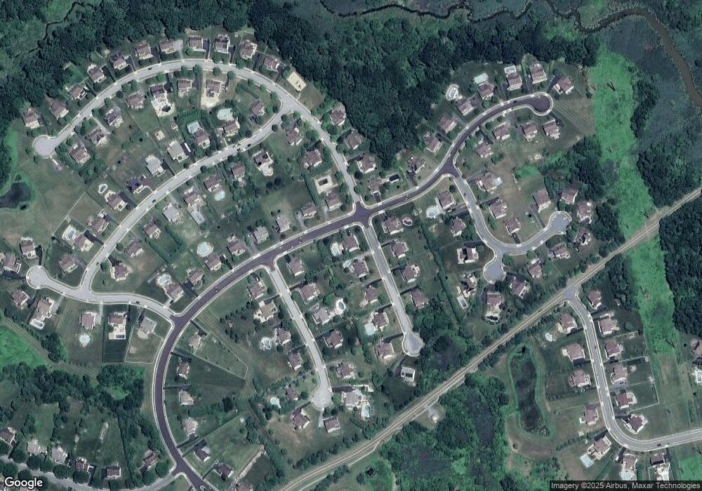
Map
Nearby Homes
- 133 Pine Valley Dr
- 301 White Pine Dr
- 1932 Dixon Way
- 1930 Dixon Way
- 1602 Jaymes Cir
- 1525 Lesterfield Way
- 1430 Pennfield Dr
- 325 Great Oak Dr
- 810 Ashby Dr
- 102 Newbury Ct
- 0 Port Penn Rd
- 300 Jasper Way
- 692 Bayview Rd
- 704 Bullen Dr
- 2481 N Dupont Pkwy
- 434 Baker Farm Dr
- 467 Hyetts Corner Rd
- 1102 Wickersham Way
- 1220 N Olmsted Pkwy
- 1205 N Olmsted Pkwy
- 402 King Rail Ct
- 29 Augustine Blvd
- 403 King Rail Ct
- 404 King Rail Ct
- 301 Blue Heron Ct
- 28 Augustine Blvd
- 303 Blue Heron Ct
- 200 Red Tailed Hawk Ln
- 26 Augustine Blvd
- 405 King Rail Ct
- 305 Blue Heron Ct
- 406 King Rail Ct
- 24 Augustine Blvd
- 202 Red Tailed Hawk Ln
- 407 King Rail Ct
- 500 Bobolink Ct
- 502 Bobolink Ct
- 205 Red Tailed Hawk Ln
- 307 Blue Heron Ct
- 32 Augustine Blvd
Your Personal Tour Guide
Ask me questions while you tour the home.