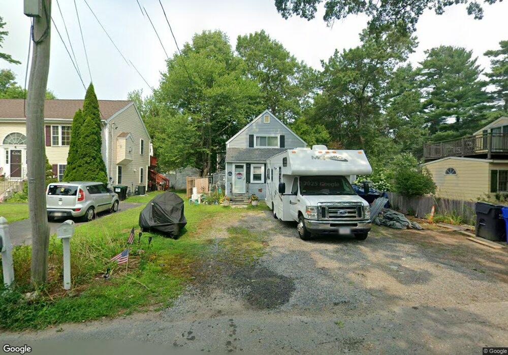
27 Balsam Rd Norton, MA 02766
Estimated Value: $378,088 - $425,000
3
Beds
1
Bath
1,000
Sq Ft
$407/Sq Ft
Est. Value
About This Home
This home is located at 27 Balsam Rd, Norton, MA 02766 and is currently estimated at $406,522, approximately $406 per square foot. 27 Balsam Rd is a home located in Bristol County with nearby schools including J.C. Solmonese Elementary School, Henri A. Yelle Elementary School, and Norton Middle School.
Ownership History
Date
Name
Owned For
Owner Type
Purchase Details
Closed on
Jan 12, 2024
Sold by
Carusone Charles
Bought by
Carusone Charles and Carusone Sandra E
Current Estimated Value
Purchase Details
Closed on
May 21, 2014
Sold by
Carusone Charles and Carusone Marie
Bought by
Carusone Charles
Purchase Details
Closed on
May 15, 2003
Sold by
St Germain Jason A and St Germain Tracy L
Bought by
Carusone Charles and Carusone Marie
Home Financials for this Owner
Home Financials are based on the most recent Mortgage that was taken out on this home.
Original Mortgage
$210,299
Interest Rate
5.84%
Mortgage Type
Purchase Money Mortgage
Purchase Details
Closed on
Mar 11, 1999
Sold by
Allen David F and Allen Lisa M
Bought by
Stgermain Jason A and Stgermain Tracy L
Home Financials for this Owner
Home Financials are based on the most recent Mortgage that was taken out on this home.
Original Mortgage
$19,475
Interest Rate
7.02%
Purchase Details
Closed on
Dec 24, 1987
Sold by
Mastrorillo Joseph
Bought by
Allen David F
Create a Home Valuation Report for This Property
The Home Valuation Report is an in-depth analysis detailing your home's value as well as a comparison with similar homes in the area
Home Values in the Area
Average Home Value in this Area
Purchase History
| Date | Buyer | Sale Price | Title Company |
|---|---|---|---|
| Carusone Charles | -- | None Available | |
| Carusone Charles | -- | -- | |
| Carusone Charles | $213,600 | -- | |
| Stgermain Jason A | $102,000 | -- | |
| Allen David F | $40,000 | -- |
Source: Public Records
Mortgage History
| Date | Status | Borrower | Loan Amount |
|---|---|---|---|
| Previous Owner | Carusone Charles | $210,299 | |
| Previous Owner | Allen David F | $157,250 | |
| Previous Owner | Allen David F | $30,947 | |
| Previous Owner | Allen David F | $19,475 | |
| Previous Owner | Allen David F | $101,166 |
Source: Public Records
Tax History Compared to Growth
Tax History
| Year | Tax Paid | Tax Assessment Tax Assessment Total Assessment is a certain percentage of the fair market value that is determined by local assessors to be the total taxable value of land and additions on the property. | Land | Improvement |
|---|---|---|---|---|
| 2025 | $37 | $287,200 | $156,300 | $130,900 |
| 2024 | $3,556 | $274,600 | $148,900 | $125,700 |
| 2023 | $3,367 | $259,200 | $140,400 | $118,800 |
| 2022 | $3,284 | $230,300 | $127,700 | $102,600 |
| 2021 | $192 | $211,200 | $121,600 | $89,600 |
| 2020 | $3,035 | $205,100 | $118,000 | $87,100 |
| 2019 | $173 | $196,600 | $113,600 | $83,000 |
| 2018 | $2,782 | $183,500 | $107,200 | $76,300 |
| 2017 | $167 | $178,000 | $107,200 | $70,800 |
| 2016 | $2,583 | $165,500 | $100,900 | $64,600 |
| 2015 | $2,493 | $162,000 | $98,900 | $63,100 |
| 2014 | $2,373 | $154,400 | $94,200 | $60,200 |
Source: Public Records
Map
Nearby Homes
- 39 Evergreen Rd
- 15 Patten Rd
- 268 Reservoir St
- 21 Juniper Rd
- 0 Brook Pkwy
- 12 Sylvan Rd
- 10 Ridge Rd
- 23 Indian Rd
- 15 Rock Ln
- 157 Mansfield Ave Unit 14
- 18 Columbine Rd
- 93 Mansfield Ave
- 15 Reservoir St Unit 44
- 12 Kayak Trail
- 250 Mansfield Ave Unit 66
- 8 Johnson Dr
- 6 Horton Dr
- 711 Ware St
- 0 Kensington Rd
- 778 Ware St