27 Barker Ridge Rd Eddington, ME 04428
Estimated Value: $265,468 - $323,000
3
Beds
2
Baths
1,680
Sq Ft
$174/Sq Ft
Est. Value
About This Home
This home is located at 27 Barker Ridge Rd, Eddington, ME 04428 and is currently estimated at $292,117, approximately $173 per square foot. 27 Barker Ridge Rd is a home located in Penobscot County.
Ownership History
Date
Name
Owned For
Owner Type
Purchase Details
Closed on
Jul 8, 2019
Sold by
Linnehan Acceptance
Bought by
Heyman Andrew and Butler Dylan
Current Estimated Value
Home Financials for this Owner
Home Financials are based on the most recent Mortgage that was taken out on this home.
Original Mortgage
$76,707
Outstanding Balance
$67,312
Interest Rate
3.9%
Mortgage Type
FHA
Estimated Equity
$224,805
Create a Home Valuation Report for This Property
The Home Valuation Report is an in-depth analysis detailing your home's value as well as a comparison with similar homes in the area
Home Values in the Area
Average Home Value in this Area
Purchase History
| Date | Buyer | Sale Price | Title Company |
|---|---|---|---|
| Heyman Andrew | -- | -- | |
| Heyman Andrew | -- | -- |
Source: Public Records
Mortgage History
| Date | Status | Borrower | Loan Amount |
|---|---|---|---|
| Open | Heyman Andrew | $76,707 | |
| Closed | Heyman Andrew | $76,707 |
Source: Public Records
Tax History Compared to Growth
Tax History
| Year | Tax Paid | Tax Assessment Tax Assessment Total Assessment is a certain percentage of the fair market value that is determined by local assessors to be the total taxable value of land and additions on the property. | Land | Improvement |
|---|---|---|---|---|
| 2024 | $2,396 | $121,298 | $32,000 | $89,298 |
| 2023 | $2,105 | $121,298 | $32,000 | $89,298 |
| 2022 | $1,983 | $121,298 | $32,000 | $89,298 |
| 2021 | $1,964 | $113,180 | $32,000 | $81,180 |
| 2020 | $2,003 | $113,180 | $32,000 | $81,180 |
| 2019 | $1,890 | $113,180 | $32,000 | $81,180 |
| 2018 | $1,766 | $113,180 | $32,000 | $81,180 |
| 2017 | $1,817 | $113,180 | $32,000 | $81,180 |
| 2016 | $1,653 | $109,830 | $32,000 | $77,830 |
| 2015 | $1,568 | $109,830 | $32,000 | $77,830 |
| 2014 | $1,568 | $109,830 | $32,000 | $77,830 |
Source: Public Records
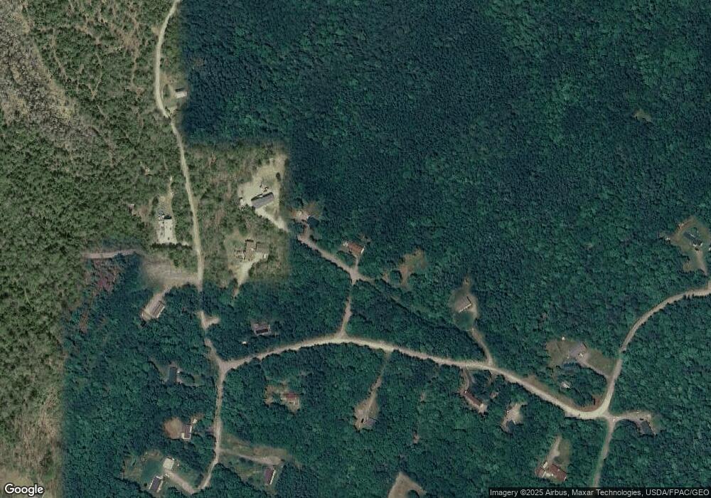
Map
Nearby Homes
- 1068 Main Rd
- 0 Tbd Chemo Pond Rd
- Map7 Lot14 Chestnut Ln
- 46 Pond Rd
- 93 Forestry Ln
- Lot 15-1 Forestry Ln
- Lot 16 Forestry Ln
- Lot 17 Forestry Ln
- Lot 10-1 Airline Rd
- 36 Comins Ln
- Lot 12 Katahdin Way
- 40 Katahdin Way
- 271 Clark Hill Rd
- 451 Levenseller Rd
- 386 Airline Rd
- 443 Mann Hill Rd
- 10 Coffey Hill Way
- 0 Tbd Mountain View Dr
- 20 Lakeman Ln
- 44 Fox Ln
- 27 Barker Ridge Rd
- Lot 4 Barker Ridge Rd
- 0 Barker Ridge Rd Lot 1
- 0 Barker Ridge Rd Lot 4
- 43 Barker Ridge Rd
- 3 Rocky Ledge Rd
- 35 Barker Ridge Rd
- 77 Stoney Ridge Rd
- L 11 Rocky Ledge Rd
- Lot Stoney Ridge Rd
- 63 Stoney Ridge Rd
- 86 Stoney Ridge Rd
- 22 Rocky Ledge Rd
- 0 Rocky Ledge Rd Unit 831107
- 0 Rocky Ledge Rd Unit 827395
- 0 Rocky Ledge Rd Unit 392679
- 0 Rocky Ledge Rd Unit 316115
- 0 Rocky Ledge Rd Unit 639979
- 0 Rocky Ledge Rd Unit 911402
- 0 Rocky Ledge Rd Unit 939354