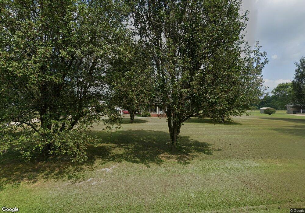
27 Ben Thompson Rd Kelso, TN 37348
Estimated Value: $294,775 - $376,000
--
Bed
2
Baths
1,575
Sq Ft
$216/Sq Ft
Est. Value
About This Home
This home is located at 27 Ben Thompson Rd, Kelso, TN 37348 and is currently estimated at $340,444, approximately $216 per square foot. 27 Ben Thompson Rd is a home located in Lincoln County with nearby schools including Flintville School, Lincoln Central Academy, and Lincoln County High School.
Ownership History
Date
Name
Owned For
Owner Type
Purchase Details
Closed on
Dec 1, 2017
Sold by
Hill Stanley D and Hill Kathy J
Bought by
Brown Alvin V
Current Estimated Value
Home Financials for this Owner
Home Financials are based on the most recent Mortgage that was taken out on this home.
Original Mortgage
$175,000
Outstanding Balance
$147,335
Interest Rate
3.94%
Mortgage Type
VA
Estimated Equity
$193,109
Purchase Details
Closed on
Aug 16, 2000
Sold by
Brown Melvin L
Bought by
Hill Stanley D and Hill Kathy J
Purchase Details
Closed on
Aug 10, 1992
Bought by
Brown Melvin L
Create a Home Valuation Report for This Property
The Home Valuation Report is an in-depth analysis detailing your home's value as well as a comparison with similar homes in the area
Home Values in the Area
Average Home Value in this Area
Purchase History
| Date | Buyer | Sale Price | Title Company |
|---|---|---|---|
| Brown Alvin V | $175,000 | None Available | |
| Brown Alvin V | $175,000 | None Available | |
| Hill Stanley D | $40,000 | -- | |
| Hill Stanley D | $40,000 | -- | |
| Brown Melvin L | $9,000 | -- | |
| Brown Melvin L | $9,000 | -- |
Source: Public Records
Mortgage History
| Date | Status | Borrower | Loan Amount |
|---|---|---|---|
| Open | Brown Alvin V | $175,000 | |
| Closed | Brown Alvin V | $175,000 |
Source: Public Records
Tax History Compared to Growth
Tax History
| Year | Tax Paid | Tax Assessment Tax Assessment Total Assessment is a certain percentage of the fair market value that is determined by local assessors to be the total taxable value of land and additions on the property. | Land | Improvement |
|---|---|---|---|---|
| 2024 | $1,402 | $73,775 | $20,300 | $53,475 |
| 2023 | $1,218 | $42,250 | $8,925 | $33,325 |
| 2022 | $888 | $42,250 | $8,925 | $33,325 |
| 2021 | $888 | $42,250 | $8,925 | $33,325 |
| 2020 | $888 | $42,250 | $8,925 | $33,325 |
| 2019 | $888 | $42,250 | $8,925 | $33,325 |
| 2018 | $944 | $38,075 | $7,175 | $30,900 |
| 2017 | $891 | $38,075 | $7,175 | $30,900 |
| 2016 | $891 | $38,075 | $7,175 | $30,900 |
| 2015 | -- | $37,900 | $7,175 | $30,725 |
| 2014 | $743 | $37,900 | $7,175 | $30,725 |
Source: Public Records
Map
Nearby Homes
- 34 Teal Hollow Dr
- 3 Boone Dr
- 12 Dukes Ln
- 96 Crystal Springs Rd
- 0 Lees Creek Rd Unit RTC2976033
- 315 Old Lincoln Rd
- 0 Winchester Hwy Unit RTC2941519
- 0 Winchester Hwy Unit RTC2914832
- 0 Winchester Hwy Unit RTC2883219
- 37 Lackey Rd
- 6 Teal Hollow Rd
- 0 Teal Hollow Rd Unit RTC2914929
- 2176 Winchester Hwy
- 7 Elizabeth Cir
- 2504 Winchester Hwy
- 7 Summerfield Dr
- 15 Emma May Dr
- 7 Bridgefield Dr
- 677 Howell Hill Rd
- 51 Hunters Ridge Dr
- 25 Ben Thompson Rd
- 33 Ben Thompson Rd
- 36 Ben Thompson Rd
- 17 Ben Thompson Rd
- 13 Ben Thompson Rd
- 43 Ben Thompson Rd
- 12 Ben Thompson Rd
- 20 Ben Thompson Rd
- 11 Ben Thompson Rd
- 330 Howell Hill Rd
- 9 Ben Thompson Rd
- 8 Ben Thompson Rd
- 7 Ben Thompson Rd
- 47 Ben Thompson Rd
- 5 Ben Thompson Rd
- 48 Teal Hollow Dr
- 44 Ben Thompson Rd
- 48 Ben Thompson Rd
- 3 Ben Thompson Rd
- 53 Ben Thompson Rd
