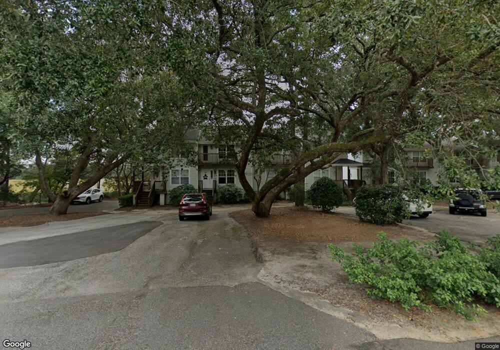
27 Brockman Dr Unit 27D Charleston, SC 29412
James Island NeighborhoodEstimated Value: $330,000 - $388,000
2
Beds
2
Baths
1,200
Sq Ft
$298/Sq Ft
Est. Value
About This Home
This home is located at 27 Brockman Dr Unit 27D, Charleston, SC 29412 and is currently estimated at $357,455, approximately $297 per square foot. 27 Brockman Dr Unit 27D is a home located in Charleston County with nearby schools including Harbor View Elementary School, Camp Road Middle, and James Island Charter High School.
Ownership History
Date
Name
Owned For
Owner Type
Purchase Details
Closed on
Feb 18, 2010
Sold by
Thibault Michael T and Thibault Erica
Bought by
Ace Property Group Llc
Current Estimated Value
Purchase Details
Closed on
Jul 27, 2009
Sold by
Wertan Harry Earl
Bought by
Thibault Michael T and Thibault Erica
Purchase Details
Closed on
May 16, 2006
Sold by
Panther Renovations Llc
Bought by
Wertan Harry Earl
Purchase Details
Closed on
Oct 5, 2005
Sold by
Blackburn Matthew L
Bought by
Panther Renovations Llc
Purchase Details
Closed on
Oct 13, 1999
Sold by
Blackburn Matthew J
Bought by
Blackburn Matthew J
Create a Home Valuation Report for This Property
The Home Valuation Report is an in-depth analysis detailing your home's value as well as a comparison with similar homes in the area
Home Values in the Area
Average Home Value in this Area
Purchase History
| Date | Buyer | Sale Price | Title Company |
|---|---|---|---|
| Ace Property Group Llc | -- | -- | |
| Thibault Michael T | $130,000 | -- | |
| Wertan Harry Earl | $210,000 | None Available | |
| Panther Renovations Llc | $207,500 | -- | |
| Blackburn Matthew L | -- | -- | |
| Blackburn Matthew J | -- | -- |
Source: Public Records
Tax History Compared to Growth
Tax History
| Year | Tax Paid | Tax Assessment Tax Assessment Total Assessment is a certain percentage of the fair market value that is determined by local assessors to be the total taxable value of land and additions on the property. | Land | Improvement |
|---|---|---|---|---|
| 2024 | $3,477 | $11,730 | $0 | $0 |
| 2023 | $3,477 | $11,730 | $0 | $0 |
| 2022 | $3,196 | $11,730 | $0 | $0 |
| 2021 | $3,158 | $11,730 | $0 | $0 |
| 2020 | $3,135 | $11,730 | $0 | $0 |
| 2019 | $2,869 | $10,200 | $0 | $0 |
| 2017 | $2,744 | $10,200 | $0 | $0 |
| 2016 | $2,656 | $10,200 | $0 | $0 |
| 2015 | $2,538 | $10,200 | $0 | $0 |
| 2014 | $2,263 | $0 | $0 | $0 |
| 2011 | -- | $0 | $0 | $0 |
Source: Public Records
Map
Nearby Homes
- 27 Brockman Dr Unit 27B
- 27 Brockman Dr Unit 27C
- 1 Willingham Ct
- 1402 Camp Rd Unit 5E
- 1402 Camp Rd Unit 6E
- 1402 Camp Rd Unit 1H
- 1402 Camp Rd Unit 8B
- 1402 Camp Rd Unit 9C
- 1402 Camp Rd Unit 12F
- 14 Maplecrest Dr
- 1359 White House Blvd
- 1 Maplecrest Dr
- 9 Maplecrest Dr
- 50 Held Cir Unit C
- 17 S Anderson Ave Unit A,B,C, D
- 1453 Camp Rd
- 1418 Kentwood Cir
- 1 S Anderson Ave
- 1616 Relyea Ave
- 1632 N Relyea Ave
- 27 Brockman Dr Unit 27A
- 27 Brockman Dr Unit B
- 27 Brockman Dr
- 27 Brockman Dr Unit A
- 27 Brockman Dr Unit C
- 25 Brockman Dr Unit 25D
- 25 Brockman Dr Unit 25C
- 25 Brockman Dr Unit 25B
- 25 Brockman Dr
- 25 Brockman Dr Unit C
- 25 Brockman Dr Unit B
- 29 Brockman Dr Unit 29D
- 29 Brockman Dr Unit 29C
- 29 Brockman Dr Unit 29B
- 29 Brockman Dr Unit 29A
- 29 Brockman Dr
- 29 Brockman Dr Unit D
- 29 Brockman Dr Unit C
- 29 Brockman Dr Unit B
- 23 Brockman Dr Unit 23D