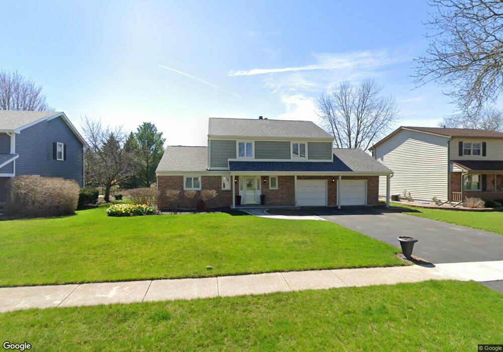
27 Cedar Gate Cir Unit 6 Sugar Grove, IL 60554
Prestbury NeighborhoodEstimated Value: $377,609 - $454,000
3
Beds
--
Bath
1,970
Sq Ft
$209/Sq Ft
Est. Value
About This Home
This home is located at 27 Cedar Gate Cir Unit 6, Sugar Grove, IL 60554 and is currently estimated at $411,652, approximately $208 per square foot. 27 Cedar Gate Cir Unit 6 is a home located in Kane County with nearby schools including Fearn Elementary School, Herget Middle School, and West Aurora High School.
Ownership History
Date
Name
Owned For
Owner Type
Purchase Details
Closed on
Nov 21, 2016
Sold by
Lemaire Michael and Lemaire Patricia
Bought by
Lemaire Michael J and Lemaire Patricia J
Current Estimated Value
Home Financials for this Owner
Home Financials are based on the most recent Mortgage that was taken out on this home.
Original Mortgage
$35,500
Outstanding Balance
$30,185
Interest Rate
3.57%
Mortgage Type
Commercial
Estimated Equity
$381,467
Purchase Details
Closed on
Apr 19, 1995
Sold by
Hatcher Robert J and Hatcher Linda C
Bought by
Lemaire Michael and Lemaire Patricia
Home Financials for this Owner
Home Financials are based on the most recent Mortgage that was taken out on this home.
Original Mortgage
$132,750
Interest Rate
8.64%
Create a Home Valuation Report for This Property
The Home Valuation Report is an in-depth analysis detailing your home's value as well as a comparison with similar homes in the area
Home Values in the Area
Average Home Value in this Area
Purchase History
| Date | Buyer | Sale Price | Title Company |
|---|---|---|---|
| Lemaire Michael J | -- | None Available | |
| Lemaire Michael | $148,000 | Chicago Title Insurance Co |
Source: Public Records
Mortgage History
| Date | Status | Borrower | Loan Amount |
|---|---|---|---|
| Open | Lemaire Michael J | $35,500 | |
| Closed | Lemaire Michael | $132,750 |
Source: Public Records
Tax History Compared to Growth
Tax History
| Year | Tax Paid | Tax Assessment Tax Assessment Total Assessment is a certain percentage of the fair market value that is determined by local assessors to be the total taxable value of land and additions on the property. | Land | Improvement |
|---|---|---|---|---|
| 2024 | $7,347 | $117,353 | $33,366 | $83,987 |
| 2023 | $7,118 | $105,838 | $30,092 | $75,746 |
| 2022 | $6,850 | $97,709 | $27,781 | $69,928 |
| 2021 | $6,661 | $92,985 | $26,438 | $66,547 |
| 2020 | $6,625 | $91,001 | $25,874 | $65,127 |
| 2019 | $6,664 | $88,026 | $25,028 | $62,998 |
| 2018 | $6,840 | $87,578 | $25,058 | $62,520 |
| 2017 | $6,683 | $83,639 | $23,931 | $59,708 |
| 2016 | $6,574 | $79,953 | $22,876 | $57,077 |
| 2015 | -- | $74,389 | $21,284 | $53,105 |
| 2014 | -- | $71,131 | $20,352 | $50,779 |
| 2013 | -- | $71,879 | $20,566 | $51,313 |
Source: Public Records
Map
Nearby Homes
- 19 Cedar Gate Cir
- 202 Braeburn Cir Unit 1
- 402 Hankes Rd
- 9 Buckingham Dr
- 11 Hardwick Ct
- 408 Hankes Rd
- 6 Saddlewood Ct
- 352 Normandie Dr
- 205 Belle Vue Ct Unit B
- 261 Hampton Rd Unit 1
- 693 Greenfield Rd
- 684 Greenfield Rd
- 220 St James Pkwy Unit A
- 7 Douglas Dr Unit 3
- 706 Brighton Dr
- 781 Manor Hill Place
- 670 Sheffield Cir
- 230 St James Pkwy Unit A
- 8 Mossfield Ct
- 778 Black Walnut Ct
- 28 Cedar Gate Cir
- 26 Cedar Gate Cir
- 25 Cedar Gate Cir
- 29 Cedar Gate Cir
- 337 Quarry Ridge Cir
- 32 Cedar Gate Cir
- 31 Cedar Gate Cir
- 33 Cedar Gate Cir
- 335 Quarry Ridge Cir
- 301 Quarry Ridge Cir
- 24 Cedar Gate Cir
- 30 Cedar Gate Cir
- 338 Quarry Ridge Cir
- 303 Quarry Ridge Cir
- 333 Quarry Ridge Cir
- 336 Quarry Ridge Cir
- 1 Cedar Gate Cir
- 35 Cedar Gate Cir
- 23 Cedar Gate Cir
- 41 Cedar Gate Cir