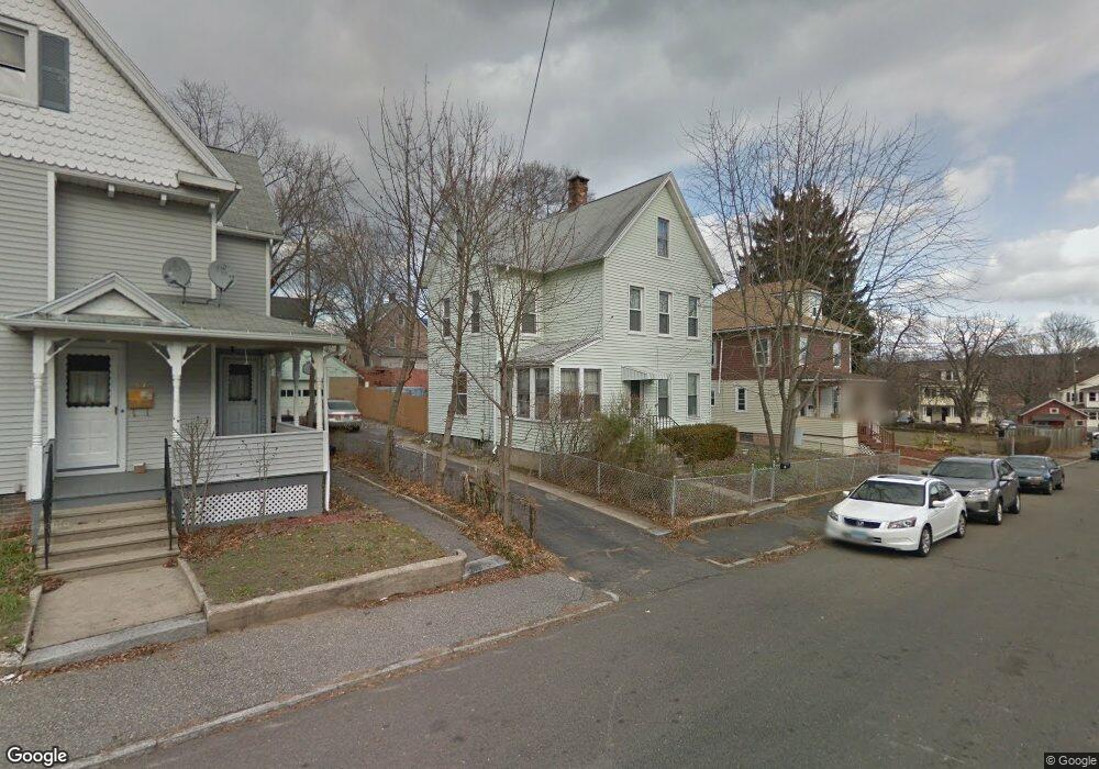
27 Clarkson St Ansonia, CT 06401
Estimated Value: $258,924 - $357,000
3
Beds
2
Baths
1,582
Sq Ft
$192/Sq Ft
Est. Value
About This Home
This home is located at 27 Clarkson St, Ansonia, CT 06401 and is currently estimated at $304,231, approximately $192 per square foot. 27 Clarkson St is a home located in New Haven County with nearby schools including Mead School, Prendergast School, and Ansonia Middle School.
Ownership History
Date
Name
Owned For
Owner Type
Purchase Details
Closed on
Dec 17, 2002
Sold by
Ploski Bernice M
Bought by
Hayes Corsline F
Current Estimated Value
Home Financials for this Owner
Home Financials are based on the most recent Mortgage that was taken out on this home.
Original Mortgage
$122,084
Outstanding Balance
$52,177
Interest Rate
6.17%
Estimated Equity
$252,054
Create a Home Valuation Report for This Property
The Home Valuation Report is an in-depth analysis detailing your home's value as well as a comparison with similar homes in the area
Home Values in the Area
Average Home Value in this Area
Purchase History
| Date | Buyer | Sale Price | Title Company |
|---|---|---|---|
| Hayes Corsline F | $124,000 | -- |
Source: Public Records
Mortgage History
| Date | Status | Borrower | Loan Amount |
|---|---|---|---|
| Open | Hayes Corsline F | $38,053 | |
| Closed | Hayes Corsline F | $5,650 | |
| Open | Hayes Corsline F | $122,084 |
Source: Public Records
Tax History Compared to Growth
Tax History
| Year | Tax Paid | Tax Assessment Tax Assessment Total Assessment is a certain percentage of the fair market value that is determined by local assessors to be the total taxable value of land and additions on the property. | Land | Improvement |
|---|---|---|---|---|
| 2025 | $3,330 | $116,620 | $43,890 | $72,730 |
| 2024 | $3,089 | $116,620 | $43,890 | $72,730 |
| 2023 | $3,060 | $116,620 | $43,890 | $72,730 |
| 2022 | $3,723 | $98,500 | $45,600 | $52,900 |
| 2021 | $3,723 | $98,500 | $45,600 | $52,900 |
| 2020 | $8,988 | $98,500 | $45,600 | $52,900 |
| 2019 | $6,170 | $98,500 | $45,600 | $52,900 |
| 2018 | $3,676 | $98,500 | $45,600 | $52,900 |
| 2017 | $3,004 | $80,500 | $43,400 | $37,100 |
| 2016 | $3,004 | $80,500 | $43,400 | $37,100 |
| 2015 | $3,020 | $80,500 | $43,400 | $37,100 |
| 2014 | $3,108 | $80,500 | $43,400 | $37,100 |
| 2013 | $3,167 | $80,500 | $43,400 | $37,100 |
Source: Public Records
Map
Nearby Homes
- 10 Clarkson St Unit 12
- 6 Clarkson St
- 56 Franklin St
- 222 Wakelee Ave
- 13 Tomlinson St
- 17 Holbrook St
- 15 Holbrook St
- 0 7 Liberty Pines St Unit 7 24119006
- 193 Wakelee Ave
- 155 Jackson St
- 185 Wakelee Ave
- 19 5th St
- 64 Hubbell Ave
- 6 Grove St
- 222 1/2 N State St
- 132 Howard Ave
- 25 Pleasant St
- 252 N Main St
- 23 Day St
- 117 N State St
- 25 Clarkson St
- 276 Wakelee Ave
- 272 Wakelee Ave Unit 274
- 278 Wakelee Ave
- 278 Wakelee Ave Unit 1
- 278 Wakelee Ave Unit 2
- 26 Clarkson St
- 23 Clarkson St
- 270 Wakelee Ave
- 29 Riggs St
- 28 Clarkson St
- 280 Wakelee Ave
- 19 Clarkson St
- 25 Riggs St
- 24 Clarkson St
- 21 Riggs St
- 22 Clarkson St
- 19 Riggs St
- 17 Clarkson St
- 20 Clarkson St Unit 1