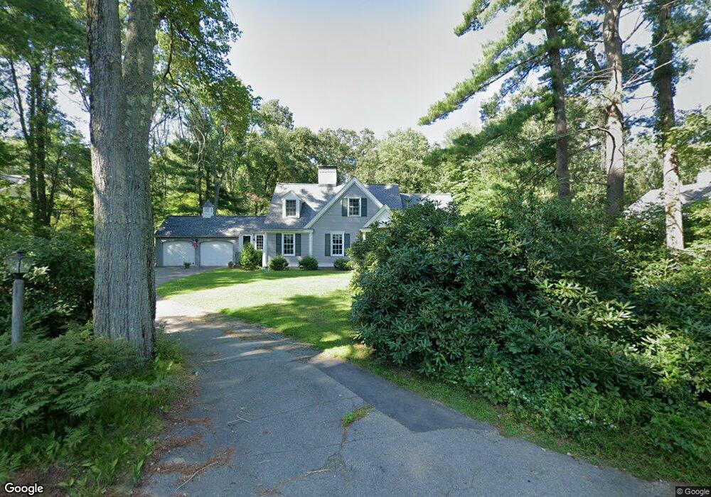
27 Colchester Rd Weston, MA 02493
Estimated Value: $1,582,000 - $2,050,000
4
Beds
2
Baths
2,389
Sq Ft
$767/Sq Ft
Est. Value
About This Home
This home is located at 27 Colchester Rd, Weston, MA 02493 and is currently estimated at $1,833,114, approximately $767 per square foot. 27 Colchester Rd is a home located in Middlesex County with nearby schools including Country Elementary School, Woodland Elementary School, and Weston Middle School.
Ownership History
Date
Name
Owned For
Owner Type
Purchase Details
Closed on
Feb 28, 1996
Sold by
Est Hanson Gertrude W and Yeonopolus John J
Bought by
Watkins Alan M and Watkins Christine S
Current Estimated Value
Home Financials for this Owner
Home Financials are based on the most recent Mortgage that was taken out on this home.
Original Mortgage
$100,000
Interest Rate
7.02%
Mortgage Type
Purchase Money Mortgage
Create a Home Valuation Report for This Property
The Home Valuation Report is an in-depth analysis detailing your home's value as well as a comparison with similar homes in the area
Home Values in the Area
Average Home Value in this Area
Purchase History
| Date | Buyer | Sale Price | Title Company |
|---|---|---|---|
| Watkins Alan M | $515,000 | -- |
Source: Public Records
Mortgage History
| Date | Status | Borrower | Loan Amount |
|---|---|---|---|
| Open | Watkins Alan M | $118,400 | |
| Closed | Watkins Alan M | $125,000 | |
| Closed | Watkins Alan M | $100,000 | |
| Closed | Watkins Alan M | $64,000 |
Source: Public Records
Tax History Compared to Growth
Tax History
| Year | Tax Paid | Tax Assessment Tax Assessment Total Assessment is a certain percentage of the fair market value that is determined by local assessors to be the total taxable value of land and additions on the property. | Land | Improvement |
|---|---|---|---|---|
| 2025 | $14,441 | $1,301,000 | $828,200 | $472,800 |
| 2024 | $14,145 | $1,272,000 | $828,200 | $443,800 |
| 2023 | $14,077 | $1,188,900 | $828,200 | $360,700 |
| 2022 | $13,951 | $1,089,100 | $777,900 | $311,200 |
| 2021 | $13,465 | $1,037,400 | $740,900 | $296,500 |
| 2020 | $13,017 | $1,014,600 | $740,900 | $273,700 |
| 2019 | $12,103 | $961,300 | $690,700 | $270,600 |
| 2018 | $18,703 | $961,300 | $690,700 | $270,600 |
| 2017 | $11,977 | $965,900 | $690,700 | $275,200 |
| 2016 | $11,675 | $960,100 | $690,700 | $269,400 |
| 2015 | $11,336 | $923,100 | $657,800 | $265,300 |
Source: Public Records
Map
Nearby Homes
- 167 Conant Rd
- 8 Jericho Rd Unit 8
- 24 Jericho Rd Unit 24
- 51 Church St
- 52 Jericho Rd Unit 52
- 1 Aberdeen Rd
- 120 Church St
- 3 October Ln
- 19 Warren Ln
- 6 Overlook Dr
- 51 Willard Rd
- 15 Whitney Tavern Rd
- 23 Pine Summit Cir Unit 23
- 121 Cherry Brook Rd
- 1 Pine Summit Cir
- 5 Peakes Ln
- 75 Westland Rd
- 226 Ash St
- 17 Lexington St
- 60 Rolling Ln
- 33 Colchester Rd
- 33 Colchester Rd Unit 1
- 21 Colchester Rd
- 20 Colchester Rd
- 32 Colchester Rd
- 37 Colchester Rd
- 15 Colchester Rd
- 26 Colchester Rd
- 14 Colchester Rd
- 118 Conant Rd
- 51 Colchester Rd
- 5 Colchester Rd
- 8 Colchester Rd
- 126 Conant Rd
- 100 Conant Rd
- 115 Conant Rd
- 57 Colchester Rd
- 50 Colchester Rd
- 111 Conant Rd
- 119 Conant Rd