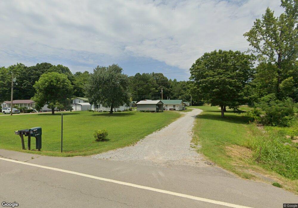
27 Cool Cat Ln Stewart, TN 37175
Estimated Value: $170,000 - $320,000
--
Bed
1
Bath
980
Sq Ft
$255/Sq Ft
Est. Value
About This Home
This home is located at 27 Cool Cat Ln, Stewart, TN 37175 and is currently estimated at $250,169, approximately $255 per square foot. 27 Cool Cat Ln is a home located in Houston County.
Ownership History
Date
Name
Owned For
Owner Type
Purchase Details
Closed on
Feb 21, 2014
Sold by
Martin Darlene
Bought by
Martin Roger Edwin
Current Estimated Value
Purchase Details
Closed on
Jun 25, 1999
Bought by
Martin Roger and Martin Darlene
Purchase Details
Closed on
Aug 13, 1996
Bought by
Mayfield Bobby E and Mayfield Betty B
Purchase Details
Closed on
Jul 31, 1996
Bought by
Cherry Don and Judy Bogard Ed H
Purchase Details
Closed on
Oct 16, 1991
Bought by
Hegerty Barbara M
Purchase Details
Closed on
May 28, 1991
Bought by
Edwards James M and Edwards Nancy J
Purchase Details
Closed on
Jul 13, 1976
Bought by
Miller John F and Miller Heirs
Purchase Details
Closed on
Jan 2, 1900
Create a Home Valuation Report for This Property
The Home Valuation Report is an in-depth analysis detailing your home's value as well as a comparison with similar homes in the area
Home Values in the Area
Average Home Value in this Area
Purchase History
| Date | Buyer | Sale Price | Title Company |
|---|---|---|---|
| Martin Roger Edwin | -- | -- | |
| Martin Roger | $85,000 | -- | |
| Mayfield Bobby E | $30,600 | -- | |
| Cherry Don | $28,000 | -- | |
| Hegerty Barbara M | $15,500 | -- | |
| Edwards James M | -- | -- | |
| Miller John F | -- | -- | |
| -- | -- | -- |
Source: Public Records
Tax History Compared to Growth
Tax History
| Year | Tax Paid | Tax Assessment Tax Assessment Total Assessment is a certain percentage of the fair market value that is determined by local assessors to be the total taxable value of land and additions on the property. | Land | Improvement |
|---|---|---|---|---|
| 2024 | $901 | $50,650 | $4,350 | $46,300 |
| 2023 | $901 | $50,650 | $4,350 | $46,300 |
| 2022 | $804 | $28,725 | $2,975 | $25,750 |
| 2021 | $804 | $28,725 | $2,975 | $25,750 |
| 2020 | $800 | $28,725 | $2,975 | $25,750 |
| 2019 | $800 | $25,075 | $2,625 | $22,450 |
| 2018 | $800 | $25,075 | $2,625 | $22,450 |
| 2017 | $800 | $25,075 | $2,625 | $22,450 |
| 2016 | $800 | $25,075 | $2,625 | $22,450 |
| 2015 | $800 | $25,075 | $2,625 | $22,450 |
| 2014 | -- | $25,360 | $0 | $0 |
Source: Public Records
Map
Nearby Homes
- 35 Airport Ln
- 0 Highway 232 Unit 25510404
- 8955 Tennessee 147
- 10120 Highway 147
- 943 Overlook Trail
- 85 Lakeview Ln
- 71 Overlook Ln
- 67 Overlook Ln
- 79 Overlook Ln
- 372 Cheree Loop
- 11175 Highway 147
- 0 Rocky Point Rd Unit RTC2700425
- 0 Day Cemetery Ln
- 0 Overlook Trail
- 78 Vista Ridge Dr
- 0 Vista Ridge Dr
- 33 Vista Ridge Dr
- 1025 Vista Ridge Dr
- 27 Vista Ridge Dr
- 0 Lake Ridge Dr Unit RTC3017496
- 9515 Highway 147
- 9456 Highway 147
- 9594 Highway 147
- 9596 Tennessee 147
- 9596 Highway 147
- 9458 Highway 147
- 9390 Highway 147
- 55 Renfro Ln
- 9730 Highway 147
- 9788 Highway 147
- 9286 Highway 147
- 9819 Highway 147
- 9820 Highway 147
- 9858 Highway 147
- 9890 Highway 147
- 9870 Tennessee 147
- 9132 Tennessee 147
- 9900 Highway 147
- 9900 Tennessee 147
- 9133 Highway 147