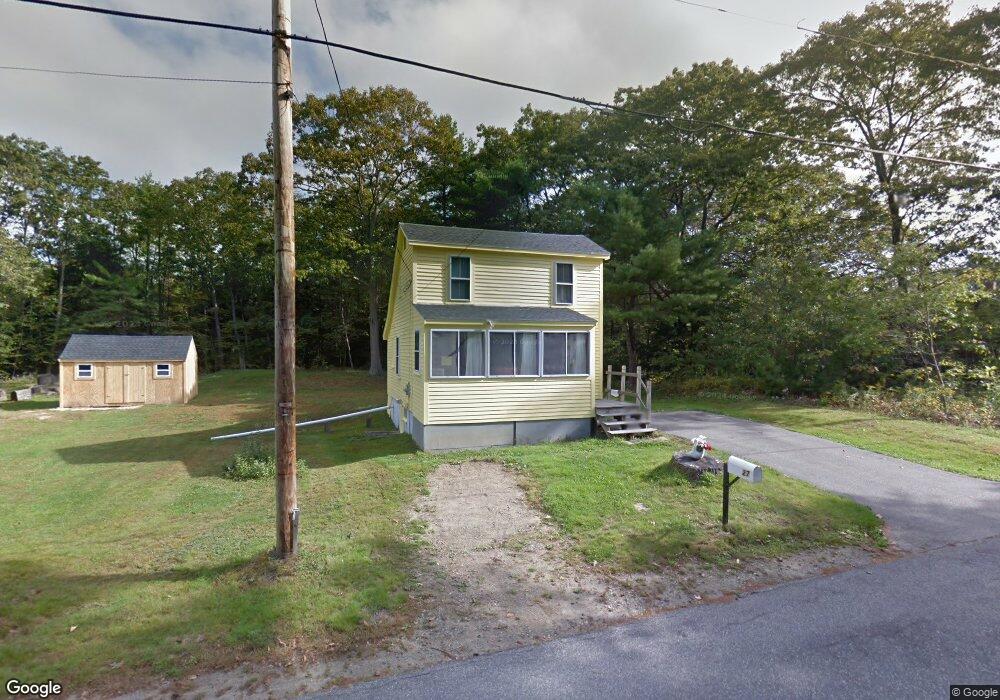
27 Cutts Island Ln Kittery Point, ME 03905
Kittery Point NeighborhoodEstimated Value: $367,038 - $605,000
1
Bed
1
Bath
756
Sq Ft
$615/Sq Ft
Est. Value
About This Home
This home is located at 27 Cutts Island Ln, Kittery Point, ME 03905 and is currently estimated at $465,010, approximately $615 per square foot. 27 Cutts Island Ln is a home with nearby schools including Horace Mitchell Primary School, Shapleigh School, and Robert W Traip Academy.
Ownership History
Date
Name
Owned For
Owner Type
Purchase Details
Closed on
May 29, 2024
Sold by
Philbrook Joann A Est and Philbrook
Bought by
Philbrook Charles L and Philbrook John A
Current Estimated Value
Create a Home Valuation Report for This Property
The Home Valuation Report is an in-depth analysis detailing your home's value as well as a comparison with similar homes in the area
Home Values in the Area
Average Home Value in this Area
Purchase History
| Date | Buyer | Sale Price | Title Company |
|---|---|---|---|
| Philbrook Charles L | -- | None Available | |
| Philbrook Charles L | -- | None Available | |
| Philbrook Charles L | -- | None Available | |
| Philbrook John A | -- | None Available | |
| Philbrook John A | -- | None Available |
Source: Public Records
Tax History Compared to Growth
Tax History
| Year | Tax Paid | Tax Assessment Tax Assessment Total Assessment is a certain percentage of the fair market value that is determined by local assessors to be the total taxable value of land and additions on the property. | Land | Improvement |
|---|---|---|---|---|
| 2024 | $3,506 | $246,900 | $144,600 | $102,300 |
| 2023 | $3,360 | $246,900 | $144,600 | $102,300 |
| 2022 | $3,332 | $247,200 | $144,600 | $102,600 |
| 2021 | $3,214 | $247,200 | $144,600 | $102,600 |
| 2020 | $5,074 | $247,200 | $144,600 | $102,600 |
| 2019 | $2,713 | $155,900 | $66,600 | $89,300 |
| 2018 | $2,206 | $155,900 | $66,600 | $89,300 |
| 2017 | $2,572 | $155,900 | $66,600 | $89,300 |
| 2016 | $2,494 | $155,400 | $66,600 | $88,800 |
| 2015 | $2,435 | $155,400 | $66,600 | $88,800 |
| 2014 | $2,412 | $155,400 | $66,600 | $88,800 |
| 2013 | $2,365 | $155,400 | $66,600 | $88,800 |
Source: Public Records
Map
Nearby Homes
- 39 Tenney Hill Rd
- 15 Foyes Ln
- 58 Foyes Ln
- 132 Pepperrell Rd
- 72 Pepperrell Rd
- 25 Bartlett Rd
- 2 Washburn Farm Ln Unit 1
- 7 Washburn Farm Ln Unit 9
- 18 Washburn Farm Ln Unit 4
- 20 Washburn Farm Ln Unit 5
- 12 Washburn Farm Ln Unit 3
- 78 Norton Rd Unit 6
- 109 Bartlett Rd
- 299 Haley Rd
- 301 Route 103
- 13 Washburn Farm Ln Unit 7
- 24 Seabreeze Ln
- 3 Izzy Ln
- 205 Whipple Rd
- 15 Atkinson St
- 25 Cutts Island Ln
- 37 Cutts Island Ln
- 30 Cutts Island Ln
- 36 Cutts Island Ln
- 39 Cutts Island Ln
- 38 Cutts Island Ln
- 40 Cutts Island Ln
- 41 Cutts Island Ln
- 23 Cutts Island Ln
- 22 Cutts Island Ln
- 43 Cutts Island Ln
- 15 Cutts Island Ln
- 48 Cutts Island Ln
- 744 Us Route 1 Unit 11
- 744 Us Route 1 Unit 5
- 744 Us Route 1 Unit 26
- 82 Brave Boat Harbor Rd
- 24 Cutts Island Ln
- 71 Chauncey Creek Rd
- 45 Cutts Island Ln