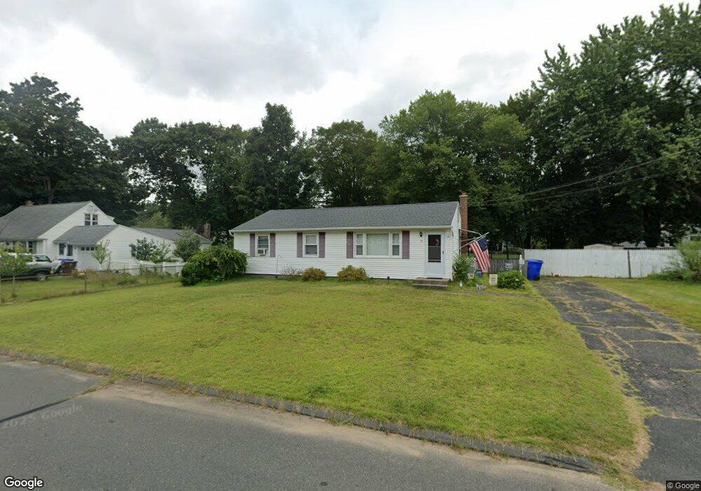
27 Dale Rd Enfield, CT 06082
Estimated Value: $277,856 - $325,000
3
Beds
1
Bath
1,008
Sq Ft
$300/Sq Ft
Est. Value
About This Home
This home is located at 27 Dale Rd, Enfield, CT 06082 and is currently estimated at $302,464, approximately $300 per square foot. 27 Dale Rd is a home located in Hartford County with nearby schools including Eli Whitney Elementary School, Hazardville Memorial Elementary School, and John F. Kennedy Middle School.
Ownership History
Date
Name
Owned For
Owner Type
Purchase Details
Closed on
Jun 15, 2005
Sold by
Spencer Sean and Spencer Allyson
Bought by
Burgess Russell and Burgess Laura
Current Estimated Value
Home Financials for this Owner
Home Financials are based on the most recent Mortgage that was taken out on this home.
Original Mortgage
$151,920
Interest Rate
5.54%
Purchase Details
Closed on
May 9, 2003
Sold by
Connor-Clark Karrie
Bought by
Spencer Sean and Spencer Allyson
Purchase Details
Closed on
Apr 30, 1998
Sold by
Strapp Laura
Bought by
Connor Karrie
Purchase Details
Closed on
Sep 30, 1992
Sold by
Kuda George and Kuda Gail
Bought by
Strapp Laura
Purchase Details
Closed on
Apr 14, 1988
Sold by
Cyr Lorraine
Bought by
Kuda George
Create a Home Valuation Report for This Property
The Home Valuation Report is an in-depth analysis detailing your home's value as well as a comparison with similar homes in the area
Home Values in the Area
Average Home Value in this Area
Purchase History
| Date | Buyer | Sale Price | Title Company |
|---|---|---|---|
| Burgess Russell | $189,900 | -- | |
| Spencer Sean | $152,500 | -- | |
| Connor Karrie | $106,000 | -- | |
| Strapp Laura | $121,500 | -- | |
| Kuda George | $115,000 | -- |
Source: Public Records
Mortgage History
| Date | Status | Borrower | Loan Amount |
|---|---|---|---|
| Open | Kuda George | $209,531 | |
| Closed | Kuda George | $151,920 | |
| Closed | Kuda George | $37,980 |
Source: Public Records
Tax History Compared to Growth
Tax History
| Year | Tax Paid | Tax Assessment Tax Assessment Total Assessment is a certain percentage of the fair market value that is determined by local assessors to be the total taxable value of land and additions on the property. | Land | Improvement |
|---|---|---|---|---|
| 2025 | $4,588 | $130,700 | $56,600 | $74,100 |
| 2024 | $4,419 | $130,700 | $56,600 | $74,100 |
| 2023 | $4,386 | $130,700 | $56,600 | $74,100 |
| 2022 | $4,037 | $130,700 | $56,600 | $74,100 |
| 2021 | $3,827 | $101,850 | $46,890 | $54,960 |
| 2020 | $3,801 | $101,850 | $46,890 | $54,960 |
| 2019 | $3,796 | $101,850 | $46,890 | $54,960 |
| 2018 | $3,694 | $101,850 | $46,890 | $54,960 |
| 2017 | $3,471 | $101,850 | $46,890 | $54,960 |
| 2016 | $3,392 | $101,670 | $48,110 | $53,560 |
| 2015 | $3,288 | $101,670 | $48,110 | $53,560 |
| 2014 | $3,206 | $101,670 | $48,110 | $53,560 |
Source: Public Records
Map
Nearby Homes
- 23 Clear St
- 10-1/2 South Rd
- 84 Raffia Rd
- 30 David St
- 46 Beech Rd
- 83 Oldefield Farms Unit 83
- 85 Oldefield Farms Unit 85
- 33 Liberty Ln
- 38 Liberty Ln
- 52 Liberty Ln
- 37 Liberty Ln
- 35 Liberty Ln
- 3 Avon Street Extension
- 233 Post Office Rd
- 92 Post Office Rd
- 287 Hazard Ave
- 6 Cedar St
- 34 Ridgefield Rd
- 18 Hudson St
- 5 Michael Dr