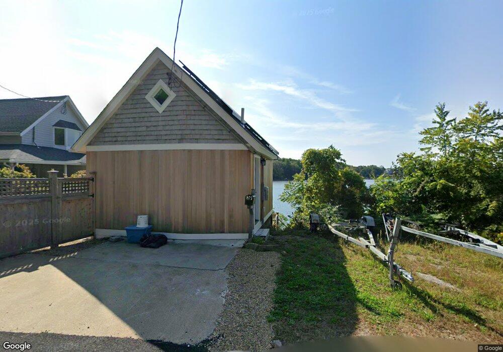
27 Dennison St Gloucester, MA 01930
3
Beds
2
Baths
1,910
Sq Ft
6,098
Sq Ft Lot
About This Home
This home is located at 27 Dennison St, Gloucester, MA 01930. 27 Dennison St is a home located in Essex County with nearby schools including Plum Cove School, Ralph B O'maley Middle School, and Gloucester High School.
Create a Home Valuation Report for This Property
The Home Valuation Report is an in-depth analysis detailing your home's value as well as a comparison with similar homes in the area
Tax History
| Year | Tax Paid | Tax Assessment Tax Assessment Total Assessment is a certain percentage of the fair market value that is determined by local assessors to be the total taxable value of land and additions on the property. | Land | Improvement |
|---|---|---|---|---|
| 2025 | $78 | $8,000 | $4,300 | $3,700 |
| 2024 | $78 | $8,000 | $4,300 | $3,700 |
| 2023 | $80 | $7,600 | $3,900 | $3,700 |
| 2022 | $83 | $7,100 | $3,400 | $3,700 |
| 2021 | $85 | $6,800 | $3,100 | $3,700 |
| 2020 | $84 | $6,800 | $3,100 | $3,700 |
| 2019 | $86 | $6,800 | $3,100 | $3,700 |
| 2018 | $88 | $6,800 | $3,100 | $3,700 |
| 2017 | $116 | $8,800 | $2,900 | $5,900 |
| 2016 | $120 | $8,800 | $2,900 | $5,900 |
| 2015 | $120 | $8,800 | $2,900 | $5,900 |
Source: Public Records
Map
Nearby Homes
- 672 Washington St
- 2 Finch Ln
- 7 Colburn St
- 226 Atlantic St
- 13 Honeysuckle Rd
- 167 Atlantic St
- 43 High St Unit B
- 16 Hodgkins Rd Unit 2
- 10 Emerald St
- 27 Hodgkins Rd
- 98 Maplewood Ave
- 6 Monroe Ct
- 16 Cleveland Place Unit 11
- 40 Sargent St
- 19 Trask St Unit 2
- 177 Main St
- 10 Oak St Unit 3
- 33 Maplewood Ave Unit 16
- 26 Marina Dr
- 5 Smith St Unit R
- 27 Dennison St Unit 29
- 29 Dennison St
- 28 Dennison St
- 31 Dennison St
- 31 Dennison St
- 33 Dennison St
- 19 Dennison St
- 1 Youngs Rd
- 35 Dennison St
- 34 Dennison St
- 3 Youngs Rd
- 37 Dennison St
- 11 Dennison St
- 11 Dennison St Unit SUMMER
- 11 Dennison St Winter Rental
- 11 Dennison St Summer Rental
- 42 Dennison St
- 42 Dennison St
- 5 Youngs Rd
- 22 Dennison St