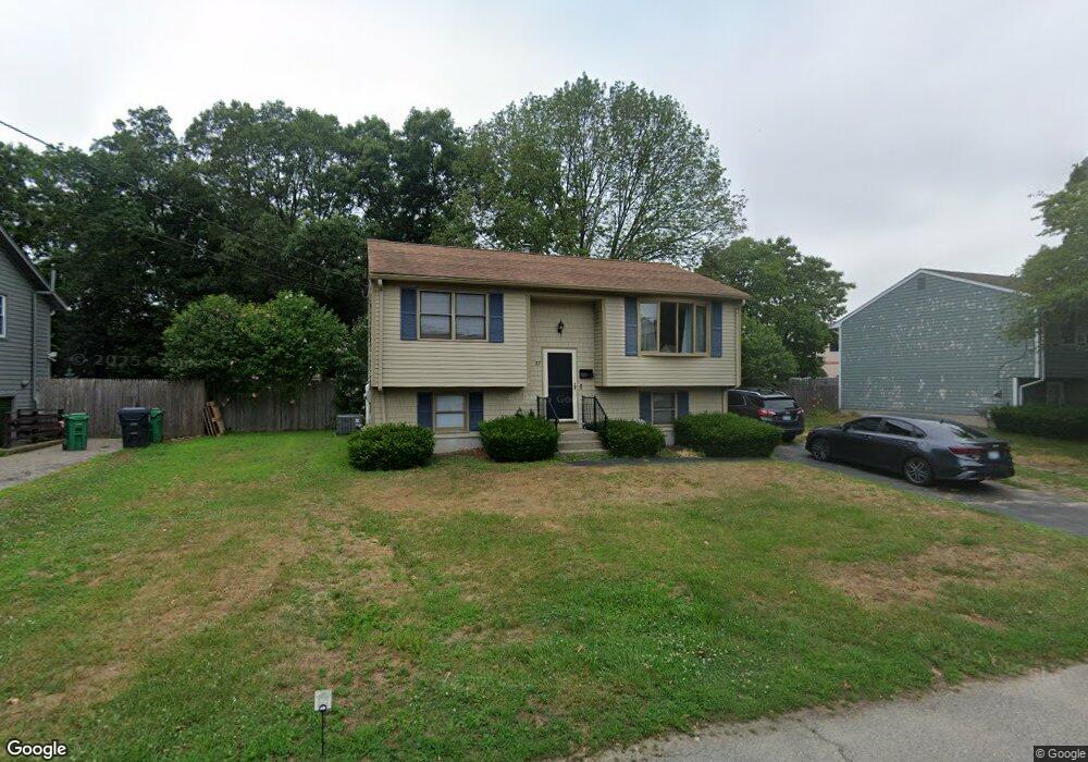
27 Drum Rock Ave Warwick, RI 02886
Cowesett NeighborhoodEstimated Value: $369,000 - $403,000
2
Beds
2
Baths
872
Sq Ft
$438/Sq Ft
Est. Value
About This Home
This home is located at 27 Drum Rock Ave, Warwick, RI 02886 and is currently estimated at $381,938, approximately $438 per square foot. 27 Drum Rock Ave is a home located in Kent County with nearby schools including St Rose Of Lima School and Eleanor Briggs School.
Ownership History
Date
Name
Owned For
Owner Type
Purchase Details
Closed on
Jun 24, 2022
Sold by
Kanaczet Brian E and Kanaczet Tina C
Bought by
Woodbury Amanda G and Woodbury Nathan C
Current Estimated Value
Purchase Details
Closed on
Aug 21, 2014
Sold by
Margaret Ann Loiselle and Margaret Kanaczet
Bought by
Kanaczet Brian E and Kanaczet Tina C
Home Financials for this Owner
Home Financials are based on the most recent Mortgage that was taken out on this home.
Original Mortgage
$101,184
Interest Rate
4.14%
Mortgage Type
New Conventional
Create a Home Valuation Report for This Property
The Home Valuation Report is an in-depth analysis detailing your home's value as well as a comparison with similar homes in the area
Home Values in the Area
Average Home Value in this Area
Purchase History
| Date | Buyer | Sale Price | Title Company |
|---|---|---|---|
| Woodbury Amanda G | $290,000 | None Available | |
| Kanaczet Brian E | $126,480 | -- |
Source: Public Records
Mortgage History
| Date | Status | Borrower | Loan Amount |
|---|---|---|---|
| Previous Owner | Kanaczet Brian E | $101,184 |
Source: Public Records
Tax History
| Year | Tax Paid | Tax Assessment Tax Assessment Total Assessment is a certain percentage of the fair market value that is determined by local assessors to be the total taxable value of land and additions on the property. | Land | Improvement |
|---|---|---|---|---|
| 2025 | $4,671 | $367,800 | $130,300 | $237,500 |
| 2024 | $4,234 | $292,600 | $109,600 | $183,000 |
| 2023 | $4,152 | $292,600 | $109,600 | $183,000 |
| 2022 | $4,089 | $218,300 | $79,000 | $139,300 |
| 2021 | $4,089 | $218,300 | $79,000 | $139,300 |
| 2020 | $4,089 | $218,300 | $79,000 | $139,300 |
| 2019 | $4,089 | $218,300 | $79,000 | $139,300 |
| 2018 | $3,755 | $185,500 | $79,000 | $106,500 |
| 2017 | $3,755 | $185,500 | $79,000 | $106,500 |
| 2016 | $3,755 | $185,500 | $79,000 | $106,500 |
| 2015 | $2,998 | $144,500 | $58,600 | $85,900 |
| 2014 | $2,899 | $144,500 | $58,600 | $85,900 |
| 2013 | $2,860 | $144,500 | $58,600 | $85,900 |
Source: Public Records
Map
Nearby Homes
- 52 Benefit St
- 151 Drum Rock Ave
- 3399 Post Rd Unit 15
- 36 Great Oak Dr
- 27 Great Oak Dr
- 84 Spruce St
- 139 Lancaster Ave
- 155 Birkshire Dr
- 123 Cowesett Rd
- 170 Cowesett Rd
- 10 Arrowhead Way
- 48 Patrick Way
- 2907 Post Rd Unit 4
- 2907 Post Rd Unit 2
- 2907 Post Rd Unit 3
- 3800 Post Rd Unit 4
- 52 Bruce Ln
- 146 Edmond Dr
- 3524 W Shore Rd Unit 215
- 5 Barre Ct
- 21 Drum Rock Ave
- 33 Drum Rock Ave
- 28 Drum Rock Ave
- 36 Drum Rock Ave
- 20 Drum Rock Ave
- 47 Drum Rock Ave
- 188 Centerville Rd
- 40 Diamond Hill Rd
- 200 Centerville Rd Unit 7
- 200 Centerville Rd
- 200 Centerville Rd Unit 10
- 200 Centerville Rd Unit 11
- 42 Diamond Hill Rd
- 7 Drum Rock Ave
- 172 Centerville Rd
- 42 Drum Rock Ave
- 48 Diamond Hill Rd
- 55 Drum Rock Ave
- 164 Centerville Rd
- 56 Diamond Hill Rd
Your Personal Tour Guide
Ask me questions while you tour the home.