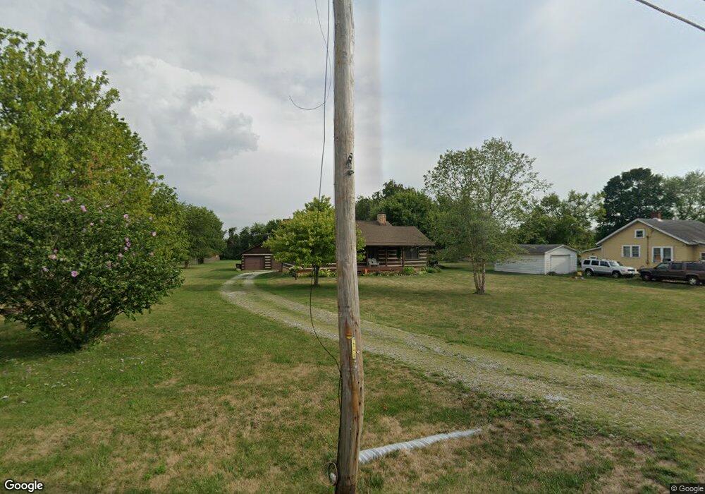
27 E Scioto St Orient, OH 43146
Estimated Value: $298,568 - $353,000
3
Beds
2
Baths
1,370
Sq Ft
$231/Sq Ft
Est. Value
About This Home
This home is located at 27 E Scioto St, Orient, OH 43146 and is currently estimated at $316,642, approximately $231 per square foot. 27 E Scioto St is a home located in Pickaway County.
Ownership History
Date
Name
Owned For
Owner Type
Purchase Details
Closed on
Nov 30, 2005
Sold by
Lewis Genrose
Bought by
Brothers Dennis J and Brothers Waltraud
Current Estimated Value
Home Financials for this Owner
Home Financials are based on the most recent Mortgage that was taken out on this home.
Original Mortgage
$59,000
Outstanding Balance
$31,610
Interest Rate
6.17%
Mortgage Type
Purchase Money Mortgage
Estimated Equity
$285,032
Purchase Details
Closed on
Jul 1, 1985
Create a Home Valuation Report for This Property
The Home Valuation Report is an in-depth analysis detailing your home's value as well as a comparison with similar homes in the area
Home Values in the Area
Average Home Value in this Area
Purchase History
| Date | Buyer | Sale Price | Title Company |
|---|---|---|---|
| Brothers Dennis J | $159,000 | Discovery Title Agency | |
| -- | $13,000 | -- |
Source: Public Records
Mortgage History
| Date | Status | Borrower | Loan Amount |
|---|---|---|---|
| Open | Brothers Dennis J | $59,000 |
Source: Public Records
Tax History
| Year | Tax Paid | Tax Assessment Tax Assessment Total Assessment is a certain percentage of the fair market value that is determined by local assessors to be the total taxable value of land and additions on the property. | Land | Improvement |
|---|---|---|---|---|
| 2025 | $4,163 | $80,660 | $15,710 | $64,950 |
| 2024 | $4,163 | $80,660 | $15,710 | $64,950 |
| 2023 | $2,689 | $80,660 | $15,710 | $64,950 |
| 2022 | $2,195 | $62,350 | $12,920 | $49,430 |
| 2021 | $2,201 | $62,350 | $12,920 | $49,430 |
| 2020 | $2,202 | $62,350 | $12,920 | $49,430 |
| 2019 | $2,130 | $53,870 | $12,220 | $41,650 |
| 2018 | $2,099 | $53,870 | $12,220 | $41,650 |
| 2017 | $2,831 | $53,870 | $12,220 | $41,650 |
| 2016 | $1,981 | $49,440 | $11,520 | $37,920 |
| 2015 | $1,983 | $49,440 | $11,520 | $37,920 |
| 2014 | $1,985 | $49,440 | $11,520 | $37,920 |
| 2013 | $2,071 | $49,600 | $11,520 | $38,080 |
Source: Public Records
Map
Nearby Homes
- 502 Conley Dr
- 263 Cavanaugh Dr
- 513 Heidish Dr
- 505 Conley Dr
- 472 Creekside Dr
- 305 Cherry Hills Rd
- 282 Olympic Loop
- 24 Erin Hills Rd
- 290 Olympic Loop
- 358 Oakmont Dr
- 62 Chambers Bay Rd
- 277 Olympic Loop
- 298 Shady Hollow Dr
- 359 Oakmont Dr
- 304 Cherry Hills Rd
- 305 Olympic Loop
- 56 Chambers Bay Rd
- 507 Walker Pointe Dr
- 239 Peters Run Ct
- 66 Genoa Cir
Your Personal Tour Guide
Ask me questions while you tour the home.