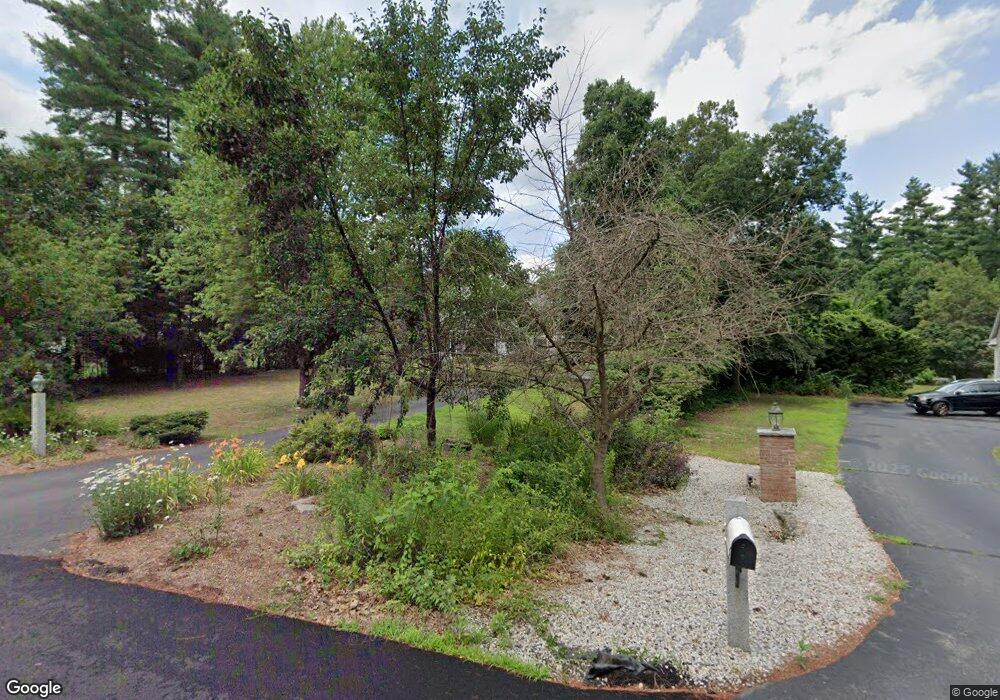
27 Emerson Ln Hollis, NH 03049
Hollis NeighborhoodEstimated Value: $1,354,000 - $1,587,351
5
Beds
6
Baths
4,474
Sq Ft
$326/Sq Ft
Est. Value
About This Home
This home is located at 27 Emerson Ln, Hollis, NH 03049 and is currently estimated at $1,459,838, approximately $326 per square foot. 27 Emerson Ln is a home with nearby schools including Hollis Primary School, Hollis Upper Elementary School, and Hollis-Brookline Middle School.
Ownership History
Date
Name
Owned For
Owner Type
Purchase Details
Closed on
Jun 27, 2007
Sold by
Judith L Goyette T
Bought by
Crooks Steven M and Crooks Lisa W
Current Estimated Value
Purchase Details
Closed on
Oct 13, 2005
Sold by
J/J Construction Llc
Bought by
Goyette Judith L and Bradley Goyette J
Create a Home Valuation Report for This Property
The Home Valuation Report is an in-depth analysis detailing your home's value as well as a comparison with similar homes in the area
Home Values in the Area
Average Home Value in this Area
Purchase History
| Date | Buyer | Sale Price | Title Company |
|---|---|---|---|
| Crooks Steven M | $1,037,500 | -- | |
| Goyette Judith L | $883,100 | -- |
Source: Public Records
Mortgage History
| Date | Status | Borrower | Loan Amount |
|---|---|---|---|
| Open | Goyette Judith L | $408,000 | |
| Closed | Goyette Judith L | $416,000 |
Source: Public Records
Tax History Compared to Growth
Tax History
| Year | Tax Paid | Tax Assessment Tax Assessment Total Assessment is a certain percentage of the fair market value that is determined by local assessors to be the total taxable value of land and additions on the property. | Land | Improvement |
|---|---|---|---|---|
| 2024 | $22,258 | $1,255,400 | $296,200 | $959,200 |
| 2023 | $20,915 | $1,255,400 | $296,200 | $959,200 |
| 2022 | $28,334 | $1,255,400 | $296,200 | $959,200 |
| 2021 | $18,310 | $806,600 | $190,700 | $615,900 |
| 2020 | $18,697 | $806,600 | $190,700 | $615,900 |
| 2019 | $18,632 | $806,600 | $190,700 | $615,900 |
| 2018 | $17,479 | $806,600 | $190,700 | $615,900 |
| 2017 | $18,196 | $786,000 | $165,400 | $620,600 |
| 2016 | $18,416 | $786,000 | $165,400 | $620,600 |
| 2015 | $18,094 | $786,000 | $165,400 | $620,600 |
| 2014 | $18,180 | $786,000 | $165,400 | $620,600 |
| 2013 | $17,937 | $786,000 | $165,400 | $620,600 |
Source: Public Records
Map
Nearby Homes
- 77 Mooar Hill Rd
- 206 S Merrimack Rd
- 25 Eastern Ave
- 6 Veterans Rd Unit 15
- 16 Captain Danforth Ln
- 4-13 Woodmont Dr
- 15 Four Winds Rd
- 8 Carriage Ln
- 8 Pilgrim Cir
- 3 Roedean Dr Unit C-207
- 101-2 Seaverns Bridge Rd
- 103 Seaverns Bridge Rd
- 201 Millwright Dr
- 105 Seaverns Bridge Rd
- 218 Millwright Dr Unit 218
- 1 County Rd
- 80 Peaslee Rd
- 24 Deerwood Dr
- 5 Dumaine Ave Unit B
- 5 Dumaine Ave Unit N
- 29 Emerson Ln
- 25 Emerson Ln
- 21 Emerson Ln
- 33 Emerson Ln
- 130 Witches Spring Rd
- 35 Emerson Ln
- 19 Emerson Ln
- 17 Emerson Ln
- 13 Emerson Ln
- 37 Emerson Ln
- 39 Emerson Ln
- 11 Emerson Ln
- 146 Witches Spring Rd
- 3 Emerson Ln
- 4 Emerson Ln
- 148 Witches Spring Rd
- 122 Witches Spring Rd
- 126 Witches Spring Rd
- 116 Witches Spring Rd
- 150 Witches Spring Rd