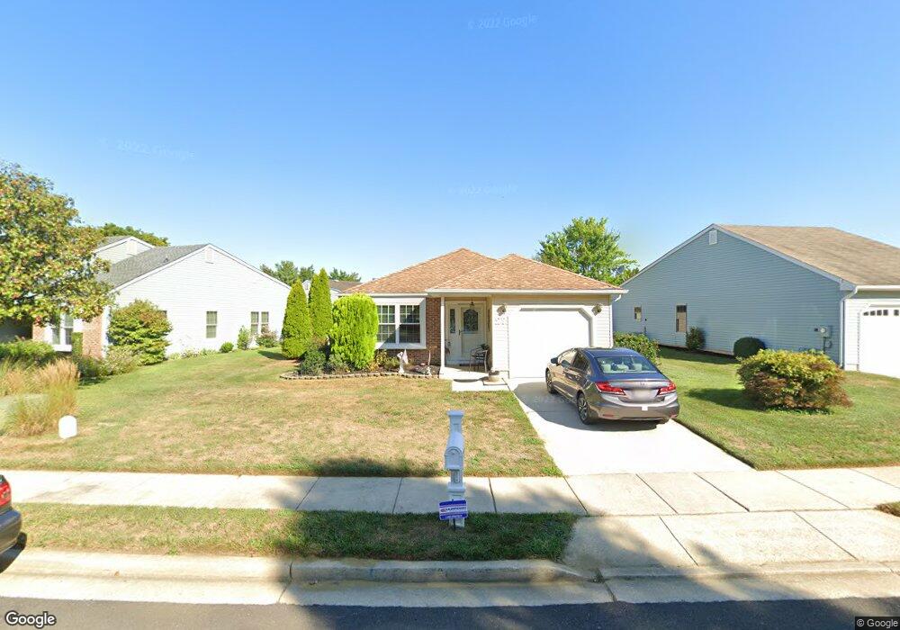
27 Emory Ln Mount Laurel, NJ 08054
Estimated Value: $405,996 - $431,000
2
Beds
2
Baths
1,325
Sq Ft
$316/Sq Ft
Est. Value
About This Home
This home is located at 27 Emory Ln, Mount Laurel, NJ 08054 and is currently estimated at $418,749, approximately $316 per square foot. 27 Emory Ln is a home located in Burlington County with nearby schools including Hillside Elementary School, T.E. Harrington Middle School, and Mount Laurel Hartford School.
Ownership History
Date
Name
Owned For
Owner Type
Purchase Details
Closed on
Mar 16, 2009
Sold by
Bisk Jeffrey
Bought by
Dean Harry A and Dean Kathleen M
Current Estimated Value
Home Financials for this Owner
Home Financials are based on the most recent Mortgage that was taken out on this home.
Original Mortgage
$203,501
Outstanding Balance
$130,220
Interest Rate
5.25%
Mortgage Type
VA
Estimated Equity
$288,529
Purchase Details
Closed on
Jan 25, 2005
Sold by
Savastinuk Aksenti J and Savastinuk Nikifor J
Bought by
Bisk Jeffrey
Purchase Details
Closed on
Aug 16, 1999
Sold by
Grabowski Walter A and Grabowski Dolores E
Bought by
Savanstinuk John and Savanstinuk Agnes
Create a Home Valuation Report for This Property
The Home Valuation Report is an in-depth analysis detailing your home's value as well as a comparison with similar homes in the area
Home Values in the Area
Average Home Value in this Area
Purchase History
| Date | Buyer | Sale Price | Title Company |
|---|---|---|---|
| Dean Harry A | $197,000 | Integrity Title Agency Inc | |
| Bisk Jeffrey | $189,150 | Barrister Title Agency | |
| Savanstinuk John | $136,000 | Executive Title & Abstract I |
Source: Public Records
Mortgage History
| Date | Status | Borrower | Loan Amount |
|---|---|---|---|
| Open | Dean Harry A | $203,501 |
Source: Public Records
Tax History Compared to Growth
Tax History
| Year | Tax Paid | Tax Assessment Tax Assessment Total Assessment is a certain percentage of the fair market value that is determined by local assessors to be the total taxable value of land and additions on the property. | Land | Improvement |
|---|---|---|---|---|
| 2025 | $5,547 | $175,700 | $54,000 | $121,700 |
| 2024 | $5,338 | $175,700 | $54,000 | $121,700 |
| 2023 | $5,338 | $175,700 | $54,000 | $121,700 |
| 2022 | $5,320 | $175,700 | $54,000 | $121,700 |
| 2021 | $4,970 | $175,700 | $54,000 | $121,700 |
| 2020 | $5,118 | $175,700 | $54,000 | $121,700 |
| 2019 | $5,065 | $175,700 | $54,000 | $121,700 |
| 2018 | $5,027 | $175,700 | $54,000 | $121,700 |
| 2017 | $4,647 | $175,700 | $54,000 | $121,700 |
| 2016 | $4,573 | $175,700 | $54,000 | $121,700 |
| 2015 | $4,517 | $175,700 | $54,000 | $121,700 |
| 2014 | $4,469 | $175,700 | $54,000 | $121,700 |
Source: Public Records
Map
Nearby Homes
- 23 Emory Ln
- 8 Raven Ct
- 1 Adner Dr
- 12 Taconia Ct
- 10 Gretna Ct
- 23 E Oleander Dr
- 11 E Berwin Way
- 266 Saint David Dr
- 3 Village Ct
- 13 Marcy Ct
- 223 Saint David Dr
- 317 Saint David Dr
- 70B Sumac Ct Unit 70B
- 31 Quince Ct
- 1201A Ginger Ct
- 420 Elderberry Ct
- 422 Elderberry Ct
- 102 Union Mill Terrace
- 130B Birchfield Ct Unit 130B
- 123A Birchfield Ct Unit 123A