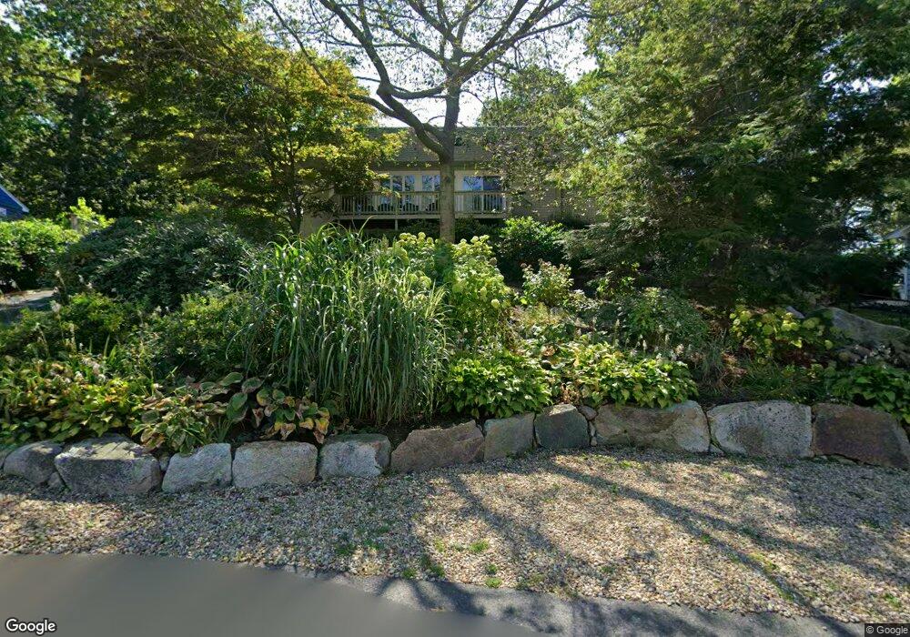
27 Englewood Rd Gloucester, MA 01930
Magnolia NeighborhoodEstimated Value: $678,000 - $919,000
2
Beds
2
Baths
1,152
Sq Ft
$688/Sq Ft
Est. Value
About This Home
This home is located at 27 Englewood Rd, Gloucester, MA 01930 and is currently estimated at $792,749, approximately $688 per square foot. 27 Englewood Rd is a home located in Essex County with nearby schools including West Parish, Ralph B O'maley Middle School, and Gloucester High School.
Ownership History
Date
Name
Owned For
Owner Type
Purchase Details
Closed on
May 23, 2024
Sold by
Luke Mary A
Bought by
Mary A Luke Lt and Luke
Current Estimated Value
Purchase Details
Closed on
Aug 12, 1994
Sold by
Scheinkman James and Edelstein Cindy
Bought by
Luke Mary A
Create a Home Valuation Report for This Property
The Home Valuation Report is an in-depth analysis detailing your home's value as well as a comparison with similar homes in the area
Home Values in the Area
Average Home Value in this Area
Purchase History
| Date | Buyer | Sale Price | Title Company |
|---|---|---|---|
| Mary A Luke Lt | -- | None Available | |
| Mary A Luke Lt | -- | None Available | |
| Luke Mary A | $150,500 | -- | |
| Luke Mary A | $150,500 | -- |
Source: Public Records
Mortgage History
| Date | Status | Borrower | Loan Amount |
|---|---|---|---|
| Previous Owner | Luke Mary A | $170,000 | |
| Previous Owner | Luke Mary A | $100,000 | |
| Previous Owner | Luke Mary A | $60,000 |
Source: Public Records
Tax History
| Year | Tax Paid | Tax Assessment Tax Assessment Total Assessment is a certain percentage of the fair market value that is determined by local assessors to be the total taxable value of land and additions on the property. | Land | Improvement |
|---|---|---|---|---|
| 2025 | $6,641 | $683,200 | $245,500 | $437,700 |
| 2024 | $6,156 | $632,700 | $233,800 | $398,900 |
| 2023 | $5,787 | $546,500 | $208,700 | $337,800 |
| 2022 | $5,535 | $471,900 | $177,500 | $294,400 |
| 2021 | $5,337 | $429,000 | $161,300 | $267,700 |
| 2020 | $5,292 | $429,200 | $161,300 | $267,900 |
| 2019 | $5,458 | $430,100 | $161,300 | $268,800 |
| 2018 | $5,094 | $394,000 | $161,300 | $232,700 |
| 2017 | $5,095 | $386,300 | $153,600 | $232,700 |
| 2016 | $4,943 | $363,200 | $154,100 | $209,100 |
| 2015 | $4,738 | $347,100 | $154,100 | $193,000 |
Source: Public Records
Map
Nearby Homes
- 17 Butler Ave
- 2 Ocean Ave Unit 3C
- 2 Ocean Ave Unit 2K
- 468 Summer St
- 450 Summer St
- 335 Summer St
- 239 Summer St
- 25 Forest St
- 5 Marshfield St
- 368 Essex Ave
- 5 Samoset Rd Unit B
- 4 Cobb Ave
- 6 Smith Ln Unit 6
- 45 School St
- 8 Flatley Ave
- 9 Flatley Ave
- 25 Masconomo St
- 55 Mansfield St Unit A
- 55 Mansfield St Unit B
- 55 Mansfield St
Your Personal Tour Guide
Ask me questions while you tour the home.