27 Flintlock Rd Clancy, MT 59634
Montana City NeighborhoodEstimated Value: $651,000 - $738,000
4
Beds
2
Baths
1,942
Sq Ft
$354/Sq Ft
Est. Value
About This Home
This home is located at 27 Flintlock Rd, Clancy, MT 59634 and is currently estimated at $688,312, approximately $354 per square foot. 27 Flintlock Rd is a home located in Jefferson County with nearby schools including Montana City Elementary School, Montana City Middle School, and Jefferson High School.
Ownership History
Date
Name
Owned For
Owner Type
Purchase Details
Closed on
Jan 20, 2016
Sold by
Buchanan Gary L and Buchanan Connie A
Bought by
Buchanan Gary L and Buchanan Connie A
Current Estimated Value
Home Financials for this Owner
Home Financials are based on the most recent Mortgage that was taken out on this home.
Original Mortgage
$125,000
Outstanding Balance
$76,594
Interest Rate
3.92%
Estimated Equity
$611,718
Create a Home Valuation Report for This Property
The Home Valuation Report is an in-depth analysis detailing your home's value as well as a comparison with similar homes in the area
Home Values in the Area
Average Home Value in this Area
Purchase History
| Date | Buyer | Sale Price | Title Company |
|---|---|---|---|
| Buchanan Gary L | -- | Rocky Mountain Title & Insur |
Source: Public Records
Mortgage History
| Date | Status | Borrower | Loan Amount |
|---|---|---|---|
| Open | Buchanan Gary L | $125,000 |
Source: Public Records
Tax History
| Year | Tax Paid | Tax Assessment Tax Assessment Total Assessment is a certain percentage of the fair market value that is determined by local assessors to be the total taxable value of land and additions on the property. | Land | Improvement |
|---|---|---|---|---|
| 2025 | $3,608 | $698,600 | $0 | $0 |
| 2024 | $3,954 | $553,391 | $0 | $0 |
| 2023 | $3,874 | $553,391 | $0 | $0 |
| 2022 | $3,319 | $380,600 | $0 | $0 |
| 2021 | $3,185 | $380,600 | $0 | $0 |
| 2020 | $2,931 | $331,600 | $0 | $0 |
| 2019 | $2,681 | $301,500 | $0 | $0 |
| 2018 | $2,611 | $278,500 | $0 | $0 |
| 2017 | $2,361 | $253,000 | $0 | $0 |
| 2016 | $2,243 | $250,500 | $0 | $0 |
| 2015 | $2,257 | $250,500 | $0 | $0 |
| 2014 | $2,004 | $129,108 | $0 | $0 |
Source: Public Records
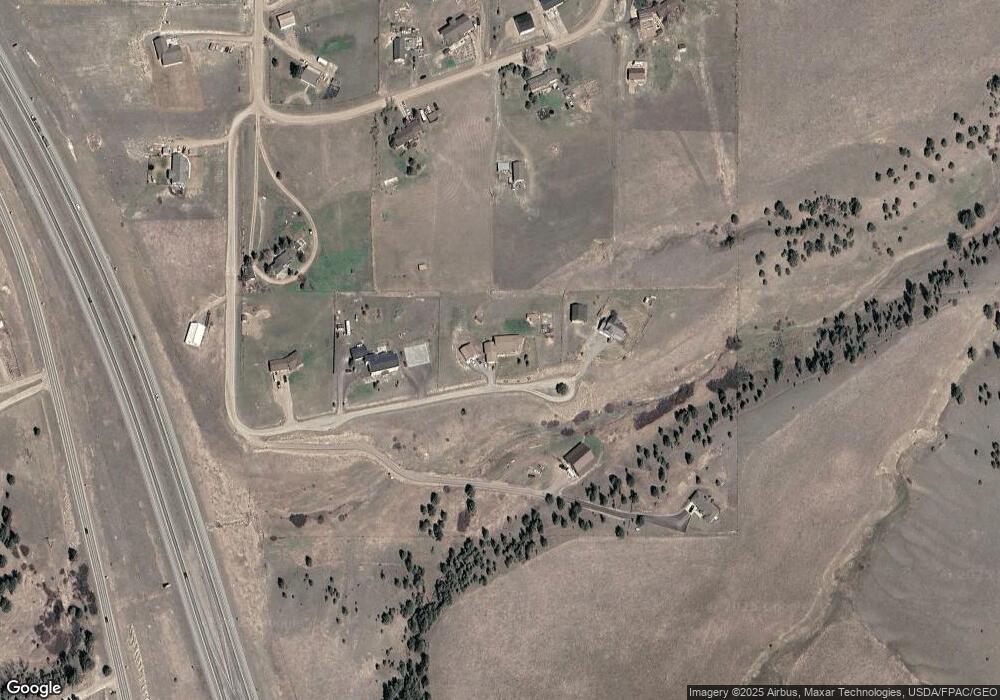
Map
Nearby Homes
- 9 Mansfield Loop
- 14 Mansfield Loop
- 39 Mansfield L Loop
- 21 Mansfield Loop
- 1196 Highway 282
- 30 Meadowgrass Rd
- 10 Raven Ridge Rd
- 9 Hilltop Dr
- 15 Hilltop Dr
- 2296 Deerfield Ln
- 35 Crossfire Dr
- 2759 Lone Chief Loop
- 2726 Lone Chief Loop
- 2742 Lone Chief Loop
- 2955 Vista View Ave
- 136 S Hills Rd
- 2787 Alexis Ave
- 2909 Stacia Ave
- 2668 Summers Crossing Ave
- 155 War Eagle St
- 35 Flintlock Rd
- 23 Flintlock Rd
- 21 Flintlock Rd
- 77 Homestead Estate
- 83 Homestead Estate
- 69 Homestead Estate
- 66 Homestead Estate
- 84 Homestead Estate
- 64 Homestead Estate
- 5 Flintlock Rd
- 65 Homestead Estate
- 40 Homestead Estate
- 44 Homestead Estate
- 58 Homestead Estate Rd
- 61 Homestead Estate
- 37 Homestead Estate
- 35 Homestead Estate
- 2 Heritage Ct
- 39 Homestead Estate
- 1303 State Highway 282
Your Personal Tour Guide
Ask me questions while you tour the home.