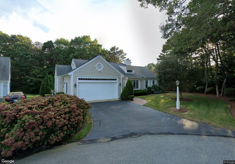
27 Floodtide Ln Hyannis, MA 02601
Estimated Value: $710,440 - $818,000
3
Beds
2
Baths
1,536
Sq Ft
$497/Sq Ft
Est. Value
About This Home
This home is located at 27 Floodtide Ln, Hyannis, MA 02601 and is currently estimated at $763,360, approximately $496 per square foot. 27 Floodtide Ln is a home located in Barnstable County with nearby schools including Barnstable United Elementary School, West Barnstable Elementary School, and Barnstable Intermediate School.
Ownership History
Date
Name
Owned For
Owner Type
Purchase Details
Closed on
May 21, 2025
Sold by
Poirier Karen
Bought by
Karen P Griley Ret and Griley
Current Estimated Value
Purchase Details
Closed on
Jan 24, 2013
Sold by
Poirier Ft
Bought by
Poirier Barbara A
Purchase Details
Closed on
Apr 19, 2001
Sold by
Cobblestone Nantucket
Bought by
Poirier Gerald D
Create a Home Valuation Report for This Property
The Home Valuation Report is an in-depth analysis detailing your home's value as well as a comparison with similar homes in the area
Home Values in the Area
Average Home Value in this Area
Purchase History
| Date | Buyer | Sale Price | Title Company |
|---|---|---|---|
| Karen P Griley Ret | -- | None Available | |
| Karen P Griley Ret | -- | None Available | |
| Poirier Barbara A | -- | -- | |
| Poirier Barbara A | -- | -- | |
| Poirier Gerald D | $292,500 | -- | |
| Poirier Gerald D | $292,500 | -- |
Source: Public Records
Tax History Compared to Growth
Tax History
| Year | Tax Paid | Tax Assessment Tax Assessment Total Assessment is a certain percentage of the fair market value that is determined by local assessors to be the total taxable value of land and additions on the property. | Land | Improvement |
|---|---|---|---|---|
| 2025 | $5,909 | $637,400 | $142,000 | $495,400 |
| 2024 | $5,721 | $632,200 | $142,000 | $490,200 |
| 2023 | $5,308 | $554,600 | $129,100 | $425,500 |
| 2022 | $5,345 | $462,000 | $95,600 | $366,400 |
| 2021 | $4,669 | $392,000 | $95,600 | $296,400 |
| 2020 | $5,296 | $429,500 | $126,200 | $303,300 |
| 2019 | $5,060 | $402,200 | $133,900 | $268,300 |
| 2018 | $4,627 | $376,200 | $156,000 | $220,200 |
| 2017 | $4,379 | $365,200 | $156,000 | $209,200 |
| 2016 | $4,359 | $371,600 | $162,400 | $209,200 |
| 2015 | $3,940 | $340,500 | $152,600 | $187,900 |
Source: Public Records
Map
Nearby Homes
- 78 Brant Way
- 25 Daybreak Ln
- 270 Old Strawberry Hill Rd
- 386 Bishops Terrace
- 2 Longview Dr
- 720 Pitchers Way Unit 52
- 21 Brian Ln
- 296 Lincoln Rd
- 43 Statice Ln
- 29 Windshore Dr
- 82 Nobadeer Rd
- 800 Bearse's Unit 1WD
- 75 Olander Dr
- 75 Olander Dr
- 7 Delta St
- 800 Bearses Way Unit 2SB
- 800 Bearses Way Unit 2SF
- 800 Bearses Way Unit 1WD
- 800 Bearses Way Unit 1
- 800 Bearses Way Unit 1NE
- 30 Floodtide Ln
- 90 Kilkore Dr
- 19 Floodtide Ln
- 26 Floodtide Ln
- 102 Kilkore Dr
- 78 Kilkore Dr
- 204 Straightway (North)
- 22 Floodtide Ln
- 116 Kilkore Dr
- 14 Floodtide Ln
- 89 Kilkore Dr
- 101 Kilkore Dr
- 64 Kilkore Dr
- 6 Floodtide Ln
- 77 Kilkore Dr
- 109 Kilkore Dr
- 180 Straightway N
- 115 Kilkore Dr
- 121 Kilkore Dr
- 65 Kilkore Dr