Estimated Value: $548,000 - $688,000
6
Beds
2
Baths
2,427
Sq Ft
$247/Sq Ft
Est. Value
About This Home
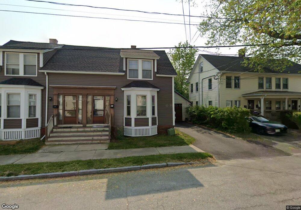
This home is located at 27 Grove St Unit 29, Dover, NH 03820 and is currently estimated at $599,674, approximately $247 per square foot. 27 Grove St Unit 29 is a home located in Strafford County with nearby schools including Horne Street School, Dover Middle School, and Dover Senior High School.
Ownership History
Date
Name
Owned For
Owner Type
Purchase Details
Closed on
Dec 16, 2022
Sold by
Mountain Stephen T
Bought by
Stephen T Mountain Ret
Current Estimated Value
Purchase Details
Closed on
Dec 19, 2011
Sold by
Powell Kenneth C and Powell Roberta M
Bought by
Mountain Stephen T
Home Financials for this Owner
Home Financials are based on the most recent Mortgage that was taken out on this home.
Original Mortgage
$185,183
Interest Rate
4.01%
Mortgage Type
Purchase Money Mortgage
Create a Home Valuation Report for This Property
The Home Valuation Report is an in-depth analysis detailing your home's value as well as a comparison with similar homes in the area
Home Values in the Area
Average Home Value in this Area
Purchase History
| Date | Buyer | Sale Price | Title Company |
|---|---|---|---|
| Stephen T Mountain Ret | -- | None Available | |
| Mountain Stephen T | $190,000 | -- |
Source: Public Records
Mortgage History
| Date | Status | Borrower | Loan Amount |
|---|---|---|---|
| Previous Owner | Mountain Stephen T | $185,183 |
Source: Public Records
Tax History Compared to Growth
Tax History
| Year | Tax Paid | Tax Assessment Tax Assessment Total Assessment is a certain percentage of the fair market value that is determined by local assessors to be the total taxable value of land and additions on the property. | Land | Improvement |
|---|---|---|---|---|
| 2024 | $9,259 | $509,600 | $120,000 | $389,600 |
| 2023 | $7,826 | $418,500 | $108,400 | $310,100 |
| 2022 | $7,410 | $373,500 | $108,400 | $265,100 |
| 2021 | $7,868 | $362,600 | $116,100 | $246,500 |
| 2020 | $8,442 | $339,700 | $112,300 | $227,400 |
| 2019 | $8,146 | $323,400 | $100,700 | $222,700 |
| 2018 | $7,713 | $309,500 | $92,900 | $216,600 |
| 2017 | $6,783 | $262,200 | $61,900 | $200,300 |
| 2016 | $5,687 | $216,300 | $65,600 | $150,700 |
| 2015 | $5,436 | $204,300 | $65,600 | $138,700 |
| 2014 | $5,314 | $204,300 | $65,600 | $138,700 |
| 2011 | $5,778 | $230,000 | $80,100 | $149,900 |
Source: Public Records
Map
Nearby Homes
- 18 5th St
- 47 Central Ave
- 0 4th St Unit 2
- 63 Sixth St
- 39 New York St
- 1 Prospect Ct
- 45 New York St Unit 8
- 0 Hemlock Rd Unit 5059998
- 5 Cedarbrook Dr
- 36 Little Bay Dr
- 22 Little Bay Dr
- 96 Broadway Unit 98
- 5 Prospect St
- 46-50 Cocheco St
- 36 Oak St
- 713 Central Ave Unit 1
- 20-22 Kirkland St
- 725 Central Ave Unit 203
- 725 Central Ave Unit LL03
- 725 Central Ave Unit 301
- 29 Grove St
- 30 Lincoln St
- 33 Fifth St
- 28 Lincoln St
- 28 Lincoln St Unit A
- 29 5th St
- 29 Fifth St Unit 31
- 26-28 Lincoln St Unit 28
- 34 Grove St
- 41 Fifth St Unit 43
- 45 5th St Unit 5
- 45 5th St
- 45 5th St Unit 4
- 49 Fifth St Unit 51
- 27 Fifth St
- 31 Lincoln St
- 0 Central Ave 5th St
- 0 Central Ave 5th St
- 0 Central Ave 5th St
- 26 Lincoln St Unit 28