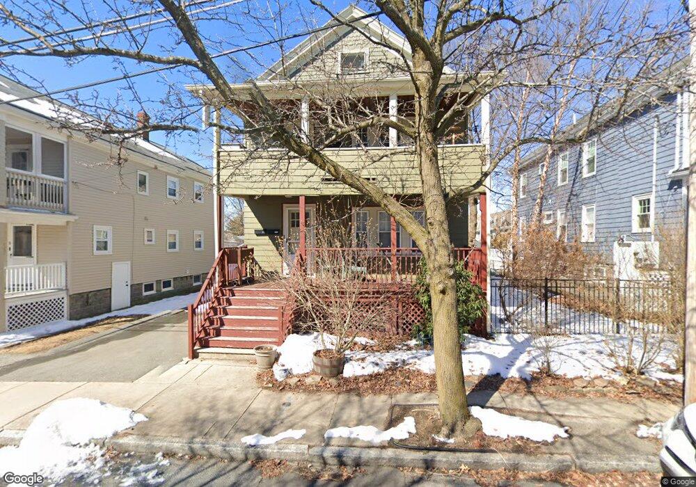
27 Harold St Unit 1 Medford, MA 02155
Medford Hillside NeighborhoodEstimated Value: $495,475 - $596,000
2
Beds
1
Bath
890
Sq Ft
$622/Sq Ft
Est. Value
About This Home
This home is located at 27 Harold St Unit 1, Medford, MA 02155 and is currently estimated at $553,619, approximately $622 per square foot. 27 Harold St Unit 1 is a home located in Middlesex County with nearby schools including Medford High School, Saint Raphael School, and International School of Boston.
Ownership History
Date
Name
Owned For
Owner Type
Purchase Details
Closed on
Sep 2, 2008
Sold by
Broderick John
Bought by
Kovner Janet and Kovner Janet S
Current Estimated Value
Home Financials for this Owner
Home Financials are based on the most recent Mortgage that was taken out on this home.
Original Mortgage
$245,000
Outstanding Balance
$161,154
Interest Rate
6.29%
Mortgage Type
Purchase Money Mortgage
Estimated Equity
$392,465
Create a Home Valuation Report for This Property
The Home Valuation Report is an in-depth analysis detailing your home's value as well as a comparison with similar homes in the area
Home Values in the Area
Average Home Value in this Area
Purchase History
| Date | Buyer | Sale Price | Title Company |
|---|---|---|---|
| Kovner Janet | $295,000 | -- |
Source: Public Records
Mortgage History
| Date | Status | Borrower | Loan Amount |
|---|---|---|---|
| Open | Kovner Janet | $245,000 |
Source: Public Records
Tax History Compared to Growth
Tax History
| Year | Tax Paid | Tax Assessment Tax Assessment Total Assessment is a certain percentage of the fair market value that is determined by local assessors to be the total taxable value of land and additions on the property. | Land | Improvement |
|---|---|---|---|---|
| 2025 | $3,710 | $421,600 | $0 | $421,600 |
| 2024 | $3,516 | $412,700 | $0 | $412,700 |
| 2023 | $3,457 | $399,700 | $0 | $399,700 |
| 2022 | $3,470 | $385,100 | $0 | $385,100 |
| 2021 | $3,548 | $377,000 | $0 | $377,000 |
| 2020 | $3,461 | $377,000 | $0 | $377,000 |
| 2019 | $3,541 | $368,900 | $0 | $368,900 |
| 2018 | $3,404 | $332,400 | $0 | $332,400 |
| 2017 | $3,510 | $332,400 | $0 | $332,400 |
| 2016 | $3,402 | $304,000 | $0 | $304,000 |
| 2015 | $3,433 | $293,400 | $0 | $293,400 |
Source: Public Records
Map
Nearby Homes
- 16 Hamilton Rd
- 44 Woods Ave Unit 44
- 9 Woods Ave
- 31 Fairfax St
- 395 Alewife Brook Pkwy Unit 2C
- 395 Alewife Brook Pkwy Unit PH E
- 69 Sterling St
- 327 Alewife Brook Pkwy Unit A
- 21 High St
- 12 Arizona Terrace Unit 2
- 16 High St Unit 2
- 76 Orchard St
- 85 Marshall St
- 6 Gordon Rd
- 66 Canal St Unit C
- 130 Auburn St
- 166 Arlington St
- 235 Powder House Blvd
- 33 Conwell Ave
- 6 Hamilton Rd Unit 6
- 27 Harold St Unit 2
- 31 Harold St
- 31 Harold St Unit 1
- 21 Harold St
- 21 Harold St Unit 1
- 21 Harold St Unit 2
- 63 Gordon St Unit 2
- 63 Gordon St
- 15 Harold St
- 17 Harold St
- 26 Harold St
- 26 Harold St
- 26 Harold St Unit 2
- 60 Hamilton St
- 60 Hamilton St
- 60 Hamilton St Unit 1
- 32 Harold Rd
- 32 Harold Rd Unit 1
- 32 Harold Rd Unit 2
- 32 Harold St Unit 2