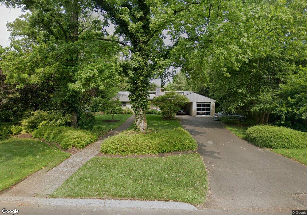
27 Haslet Ave Princeton, NJ 08540
Estimated Value: $2,041,000 - $2,625,000
4
Beds
5
Baths
3,337
Sq Ft
$680/Sq Ft
Est. Value
About This Home
This home is located at 27 Haslet Ave, Princeton, NJ 08540 and is currently estimated at $2,270,655, approximately $680 per square foot. 27 Haslet Ave is a home located in Mercer County with nearby schools including Johnson Park School, Princeton Middle School, and Princeton High School.
Ownership History
Date
Name
Owned For
Owner Type
Purchase Details
Closed on
Nov 9, 2010
Sold by
Lighte Peter Rupert
Bought by
Lighte Peter Rupert
Current Estimated Value
Home Financials for this Owner
Home Financials are based on the most recent Mortgage that was taken out on this home.
Original Mortgage
$313,000
Outstanding Balance
$4,657
Interest Rate
4.16%
Mortgage Type
New Conventional
Estimated Equity
$2,265,998
Purchase Details
Closed on
Feb 23, 2004
Sold by
Wellington Margaret
Bought by
Lighte Peter
Home Financials for this Owner
Home Financials are based on the most recent Mortgage that was taken out on this home.
Original Mortgage
$50,000
Interest Rate
5.71%
Create a Home Valuation Report for This Property
The Home Valuation Report is an in-depth analysis detailing your home's value as well as a comparison with similar homes in the area
Home Values in the Area
Average Home Value in this Area
Purchase History
| Date | Buyer | Sale Price | Title Company |
|---|---|---|---|
| Lighte Peter Rupert | -- | Titleserv Inc | |
| Lighte Peter | $1,100,000 | -- |
Source: Public Records
Mortgage History
| Date | Status | Borrower | Loan Amount |
|---|---|---|---|
| Open | Lighte Peter Rupert | $313,000 | |
| Closed | Lighte Peter | $50,000 |
Source: Public Records
Tax History Compared to Growth
Tax History
| Year | Tax Paid | Tax Assessment Tax Assessment Total Assessment is a certain percentage of the fair market value that is determined by local assessors to be the total taxable value of land and additions on the property. | Land | Improvement |
|---|---|---|---|---|
| 2025 | $27,714 | $1,040,700 | $577,000 | $463,700 |
| 2024 | $26,163 | $1,040,700 | $577,000 | $463,700 |
| 2023 | $26,163 | $1,040,700 | $577,000 | $463,700 |
| 2022 | $25,310 | $1,040,700 | $577,000 | $463,700 |
| 2021 | $25,383 | $1,040,700 | $577,000 | $463,700 |
| 2020 | $25,185 | $1,040,700 | $577,000 | $463,700 |
| 2019 | $24,685 | $1,040,700 | $577,000 | $463,700 |
| 2018 | $24,269 | $1,040,700 | $577,000 | $463,700 |
| 2017 | $23,936 | $1,040,700 | $577,000 | $463,700 |
| 2016 | $23,561 | $1,040,700 | $577,000 | $463,700 |
| 2015 | $23,020 | $1,040,700 | $577,000 | $463,700 |
| 2014 | $22,739 | $1,040,700 | $577,000 | $463,700 |
Source: Public Records
Map
Nearby Homes
- 160 Springdale Rd
- 189 Constitution Dr
- 200 Parkside Dr
- 51 Edgerstoune Rd
- 31 Vreeland Ct
- 409 Basin St
- 82 Library Place
- 0 Basin St
- 87 Library Place
- 155 Hodge Rd
- 54 Hodge Rd
- 49 Palmer Square W Unit D
- 48 Nassau St Unit I
- 98 Nassau St Unit 3
- 20 Paul Robeson Place
- 132 Victoria Mews
- 722 Avery Ln
- 721 Avery Ln
- 304 Trinity Ct Unit 11
- 240 Library Place