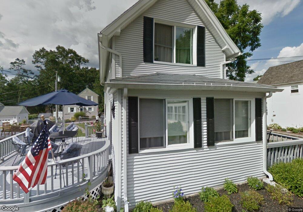
27 High St Niantic, CT 06357
Niantic NeighborhoodEstimated Value: $351,815 - $519,000
3
Beds
2
Baths
1,278
Sq Ft
$343/Sq Ft
Est. Value
About This Home
This home is located at 27 High St, Niantic, CT 06357 and is currently estimated at $438,204, approximately $342 per square foot. 27 High St is a home located in New London County with nearby schools including East Lyme Middle School, East Lyme High School, and The Light House Voc-Ed Center.
Ownership History
Date
Name
Owned For
Owner Type
Purchase Details
Closed on
Mar 24, 1997
Sold by
Akst H Gordon and Akst Patricia A
Bought by
Horn Michael S and Beliveau Patricia D
Current Estimated Value
Home Financials for this Owner
Home Financials are based on the most recent Mortgage that was taken out on this home.
Original Mortgage
$120,000
Outstanding Balance
$14,474
Interest Rate
7.68%
Mortgage Type
Unknown
Estimated Equity
$423,730
Create a Home Valuation Report for This Property
The Home Valuation Report is an in-depth analysis detailing your home's value as well as a comparison with similar homes in the area
Home Values in the Area
Average Home Value in this Area
Purchase History
| Date | Buyer | Sale Price | Title Company |
|---|---|---|---|
| Horn Michael S | $158,000 | -- |
Source: Public Records
Mortgage History
| Date | Status | Borrower | Loan Amount |
|---|---|---|---|
| Closed | Horn Michael S | $15,000 | |
| Open | Horn Michael S | $120,000 |
Source: Public Records
Tax History
| Year | Tax Paid | Tax Assessment Tax Assessment Total Assessment is a certain percentage of the fair market value that is determined by local assessors to be the total taxable value of land and additions on the property. | Land | Improvement |
|---|---|---|---|---|
| 2025 | $4,566 | $163,030 | $66,430 | $96,600 |
| 2024 | $4,296 | $163,030 | $66,430 | $96,600 |
| 2023 | $4,056 | $163,030 | $66,430 | $96,600 |
| 2022 | $3,887 | $163,030 | $66,430 | $96,600 |
| 2021 | $4,387 | $153,860 | $84,910 | $68,950 |
| 2020 | $4,346 | $153,230 | $84,910 | $68,320 |
| 2019 | $4,320 | $153,230 | $84,910 | $68,320 |
| 2018 | $4,191 | $153,230 | $84,910 | $68,320 |
| 2017 | $4,008 | $153,230 | $84,910 | $68,320 |
| 2016 | $4,058 | $160,020 | $92,260 | $67,760 |
| 2015 | $3,954 | $160,020 | $92,260 | $67,760 |
| 2014 | $3,845 | $160,020 | $92,260 | $67,760 |
Source: Public Records
Map
Nearby Homes
- 47 Oswegatchie Hills Rd
- 21 N Washington Ave
- 11 Smith Ave
- 3 E Wood St
- 22 Park Dr
- 185 Main St Unit 301
- 185 Main St Unit 305
- 99 Sleepy Hollow Rd
- 5 Cherry Blossom Ln Unit 5
- 81 E Pattagansett Rd Unit 24
- 9 Columbus Ave
- 468 Main St Unit 318
- 468 Main St Unit 111
- 7 Laurel Hill Dr S
- 43 Park Place
- 46 Village Crossing Unit 46
- 47 Village Crossing Unit 47
- 3 Village Crossing Unit 3
- 276 Niantic River Rd
- 9 Arrowhead Trail
Your Personal Tour Guide
Ask me questions while you tour the home.