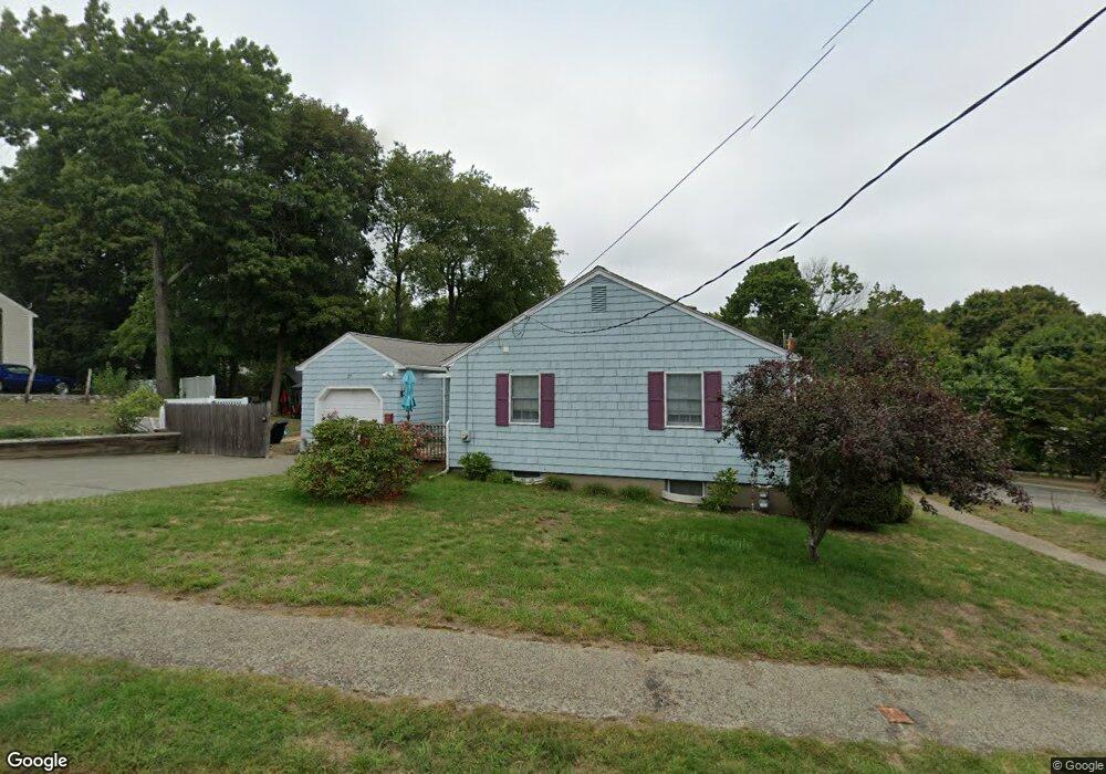
27 Hobbs Rd Waltham, MA 02452
North Waltham NeighborhoodEstimated Value: $727,000 - $880,000
3
Beds
1
Bath
988
Sq Ft
$811/Sq Ft
Est. Value
About This Home
This home is located at 27 Hobbs Rd, Waltham, MA 02452 and is currently estimated at $801,082, approximately $810 per square foot. 27 Hobbs Rd is a home located in Middlesex County with nearby schools including Northeast Elementary School, John F Kennedy Middle School, and Waltham Sr High School.
Ownership History
Date
Name
Owned For
Owner Type
Purchase Details
Closed on
Dec 23, 2011
Sold by
Sullivan Mary J and Kennelly Donna M
Bought by
Sullivan Maureen L
Current Estimated Value
Home Financials for this Owner
Home Financials are based on the most recent Mortgage that was taken out on this home.
Original Mortgage
$106,000
Outstanding Balance
$72,442
Interest Rate
3.99%
Mortgage Type
Purchase Money Mortgage
Estimated Equity
$728,640
Create a Home Valuation Report for This Property
The Home Valuation Report is an in-depth analysis detailing your home's value as well as a comparison with similar homes in the area
Home Values in the Area
Average Home Value in this Area
Purchase History
| Date | Buyer | Sale Price | Title Company |
|---|---|---|---|
| Sullivan Maureen L | $212,000 | -- |
Source: Public Records
Mortgage History
| Date | Status | Borrower | Loan Amount |
|---|---|---|---|
| Open | Sullivan Maureen L | $106,000 |
Source: Public Records
Tax History Compared to Growth
Tax History
| Year | Tax Paid | Tax Assessment Tax Assessment Total Assessment is a certain percentage of the fair market value that is determined by local assessors to be the total taxable value of land and additions on the property. | Land | Improvement |
|---|---|---|---|---|
| 2025 | $6,836 | $696,100 | $493,600 | $202,500 |
| 2024 | $6,480 | $672,200 | $471,800 | $200,400 |
| 2023 | $6,392 | $619,400 | $428,100 | $191,300 |
| 2022 | $6,331 | $568,300 | $384,400 | $183,900 |
| 2021 | $6,318 | $558,100 | $384,400 | $173,700 |
| 2020 | $6,191 | $518,100 | $358,200 | $159,900 |
| 2019 | $6,235 | $492,500 | $353,800 | $138,700 |
| 2018 | $5,680 | $450,400 | $327,600 | $122,800 |
| 2017 | $5,273 | $419,800 | $297,000 | $122,800 |
| 2016 | $4,925 | $402,400 | $279,600 | $122,800 |
| 2015 | $4,731 | $360,300 | $244,600 | $115,700 |
Source: Public Records
Map
Nearby Homes
- 55 Circle Dr
- 23 Wight St
- 116 Raffaele Dr
- 750 Trapelo Rd
- 65 Woburn St
- 70 Rosewood Dr
- 170 Clocktower Dr Unit 5103
- 107 Clocktower Dr Unit 3302
- 87 Clocktower Dr Unit 2207
- 38 Van Vechten St
- 45 Chase Rd
- 30 Jacqueline Rd Unit C
- 28 College Farm Rd Unit 2
- 1105 Lexington St Unit 102
- 100 Shirley Rd
- 14 Piedmont Ave
- 30 Wampum Ave
- 129 Lake St
- 311 Concord Ave
- 9 Stanley Rd