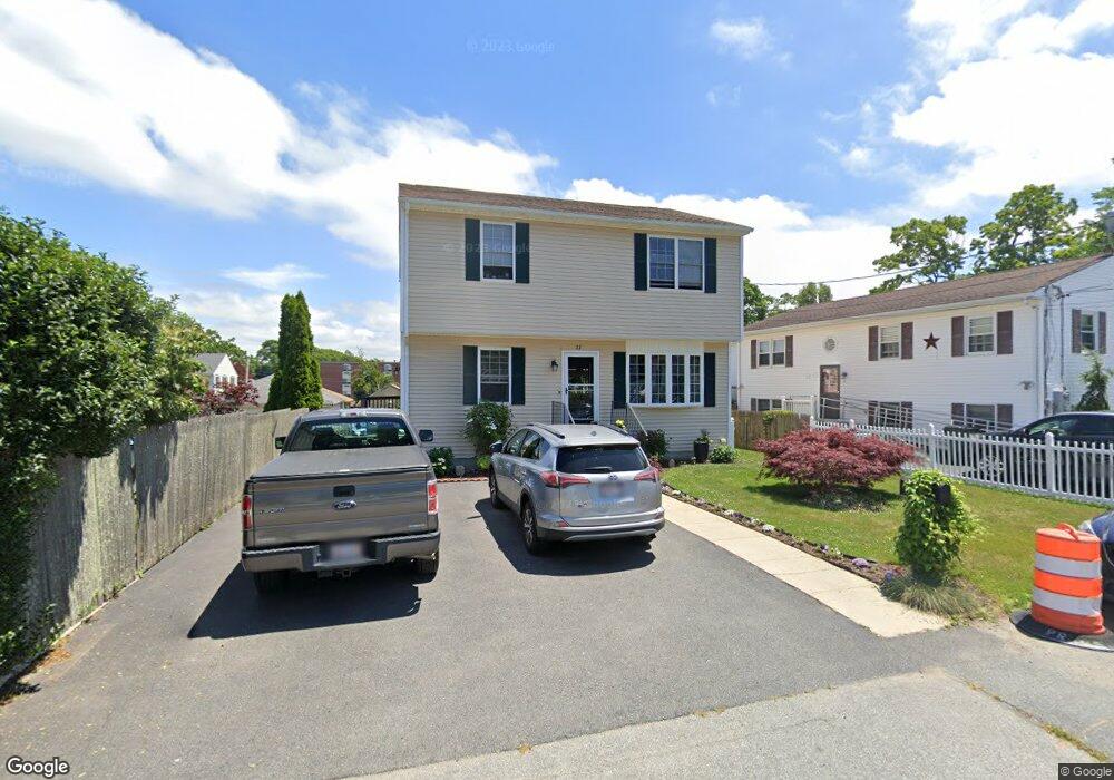
27 Hutton St Fall River, MA 02720
Bank Street NeighborhoodEstimated Value: $443,426 - $511,000
3
Beds
2
Baths
1,740
Sq Ft
$270/Sq Ft
Est. Value
About This Home
This home is located at 27 Hutton St, Fall River, MA 02720 and is currently estimated at $469,107, approximately $269 per square foot. 27 Hutton St is a home located in Bristol County with nearby schools including Spencer Borden Elementary School, Morton Middle School, and B M C Durfee High School.
Ownership History
Date
Name
Owned For
Owner Type
Purchase Details
Closed on
Apr 7, 2003
Sold by
Raposa Cheryl and Raposa Mercias
Bought by
Mello Antonio and Mello Janice
Current Estimated Value
Home Financials for this Owner
Home Financials are based on the most recent Mortgage that was taken out on this home.
Original Mortgage
$208,500
Interest Rate
5.88%
Mortgage Type
Purchase Money Mortgage
Create a Home Valuation Report for This Property
The Home Valuation Report is an in-depth analysis detailing your home's value as well as a comparison with similar homes in the area
Home Values in the Area
Average Home Value in this Area
Purchase History
| Date | Buyer | Sale Price | Title Company |
|---|---|---|---|
| Mello Antonio | $215,000 | -- |
Source: Public Records
Mortgage History
| Date | Status | Borrower | Loan Amount |
|---|---|---|---|
| Open | Mello Antonio | $288,000 | |
| Closed | Mello Antonio | $33,000 | |
| Closed | Mello Antonio | $208,500 |
Source: Public Records
Tax History
| Year | Tax Paid | Tax Assessment Tax Assessment Total Assessment is a certain percentage of the fair market value that is determined by local assessors to be the total taxable value of land and additions on the property. | Land | Improvement |
|---|---|---|---|---|
| 2025 | $4,222 | $368,700 | $133,100 | $235,600 |
| 2024 | $3,949 | $343,700 | $128,000 | $215,700 |
| 2023 | $4,077 | $332,300 | $114,900 | $217,400 |
| 2022 | $3,608 | $285,900 | $106,400 | $179,500 |
| 2021 | $3,723 | $269,200 | $100,400 | $168,800 |
| 2020 | $3,676 | $254,400 | $96,700 | $157,700 |
| 2019 | $3,607 | $247,400 | $96,700 | $150,700 |
| 2018 | $3,481 | $238,100 | $96,700 | $141,400 |
| 2017 | $3,296 | $235,400 | $96,700 | $138,700 |
| 2016 | $3,089 | $226,600 | $96,700 | $129,900 |
| 2015 | $2,923 | $223,500 | $90,400 | $133,100 |
| 2014 | $2,812 | $223,500 | $90,400 | $133,100 |
Source: Public Records
Map
Nearby Homes
- 108 Garden St
- 45 Read St
- 45-47 Shawmut St
- 545 Robeson St
- 499 Hanover St
- 742 New Boston Rd
- 677 Oak Grove Ave
- 503 Highland Ave
- 301 Madison St
- 295 Newbury St
- 1231 Robeson St
- 217 Plain St
- 243 Robeson St Unit 6
- 243 Robeson St Unit 3
- 631 Walnut St
- 72 Belmont St
- 889 High St
- 909 High St Unit 1
- 499 Maple St
- 243 Oak Grove Ave
- 15 Hutton St
- 431 New Boston Rd
- 431 New Boston Rd Unit 2
- 425 New Boston Rd
- 5 Hutton St
- 447 New Boston Rd
- 34 Hutton St
- 14 Kingsley St
- 399 New Boston Rd
- 461 New Boston Rd
- 6 Hutton St
- 16 Hutton St
- 393 New Boston Rd
- 393 New Boston Rd Unit 2
- 422 New Boston Rd
- 448 New Boston Rd
- 448 New Boston Rd Unit 1
- 432 New Boston Rd
- 402 New Boston Rd
- 19 Warburton St
Your Personal Tour Guide
Ask me questions while you tour the home.