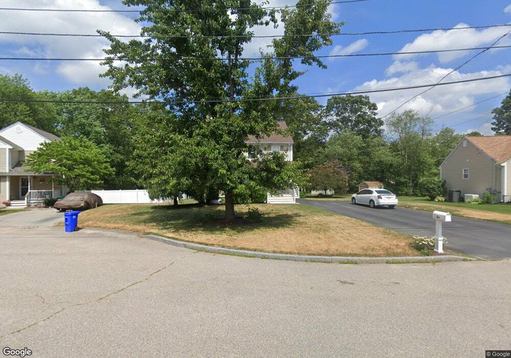
27 Jarson Ln Attleboro, MA 02703
Estimated Value: $467,000 - $541,000
3
Beds
2
Baths
1,512
Sq Ft
$337/Sq Ft
Est. Value
About This Home
This home is located at 27 Jarson Ln, Attleboro, MA 02703 and is currently estimated at $510,260, approximately $337 per square foot. 27 Jarson Ln is a home located in Bristol County with nearby schools including Hill-Roberts Elementary School, Robert J. Coelho Middle School, and Attleboro High School.
Ownership History
Date
Name
Owned For
Owner Type
Purchase Details
Closed on
Mar 29, 1996
Sold by
W B Constr & Dev Inc
Bought by
Jewett Mark D and Jewett Melissa J
Current Estimated Value
Home Financials for this Owner
Home Financials are based on the most recent Mortgage that was taken out on this home.
Original Mortgage
$126,648
Interest Rate
6.9%
Mortgage Type
Purchase Money Mortgage
Create a Home Valuation Report for This Property
The Home Valuation Report is an in-depth analysis detailing your home's value as well as a comparison with similar homes in the area
Home Values in the Area
Average Home Value in this Area
Purchase History
| Date | Buyer | Sale Price | Title Company |
|---|---|---|---|
| Jewett Mark D | $127,625 | -- |
Source: Public Records
Mortgage History
| Date | Status | Borrower | Loan Amount |
|---|---|---|---|
| Open | Jewett Mark D | $142,000 | |
| Closed | Jewett Mark D | $126,648 |
Source: Public Records
Tax History Compared to Growth
Tax History
| Year | Tax Paid | Tax Assessment Tax Assessment Total Assessment is a certain percentage of the fair market value that is determined by local assessors to be the total taxable value of land and additions on the property. | Land | Improvement |
|---|---|---|---|---|
| 2025 | $5,129 | $408,700 | $159,600 | $249,100 |
| 2024 | $4,957 | $389,400 | $143,700 | $245,700 |
| 2023 | $5,210 | $380,600 | $145,400 | $235,200 |
| 2022 | $4,677 | $323,700 | $138,200 | $185,500 |
| 2021 | $4,501 | $304,100 | $140,200 | $163,900 |
| 2020 | $4,199 | $288,400 | $133,900 | $154,500 |
| 2019 | $4,344 | $306,800 | $131,400 | $175,400 |
| 2018 | $4,065 | $274,300 | $127,500 | $146,800 |
| 2017 | $3,907 | $268,500 | $124,300 | $144,200 |
| 2016 | $3,791 | $255,800 | $116,000 | $139,800 |
| 2015 | $3,923 | $266,700 | $116,000 | $150,700 |
| 2014 | $3,364 | $226,500 | $111,000 | $115,500 |
Source: Public Records
Map
Nearby Homes
- 36-38 Jarson Ln
- 31 Terry Dr
- 15 Archer St
- 548 Kenyon Ave Unit 25
- 548 Kenyon Ave Unit 27
- 4 Mott Dr
- 460 Collins St Unit 38
- 103 Clews St
- 97 Wendell St
- 15 Don Ct
- 980 Newport Ave
- 35 Cushman St
- 26 Blackburn St
- 62 Colvin St
- 116 Stearns St
- 660 Cottage St Unit 6
- 139 Hackett Ave
- 50 Stearns St
- 139 Tweed St
- 50 Pullman Ave Unit B
- 19 Jarson Ln
- 35 Jarson Ln
- 124 George Ide Dr
- 43 Jarson Ln
- 108 George Ide Dr
- 11 Jarson Ln
- 20 Jarson Ln
- 12 Jarson Ln
- 28 Jarson Ln
- 100 George Ide Dr
- 36 Jarson Ln Unit 38
- 115 Captain Courtois Dr
- 109 George Ide Dr
- 123 Captain Courtois Dr
- 103 George Ide Dr
- 92 George Ide Dr
- 131 Captain Courtois Dr
- 81A Captain Courtois Dr
- 81 Captain Courtois Dr
- 81 Captain Courtois Dr
