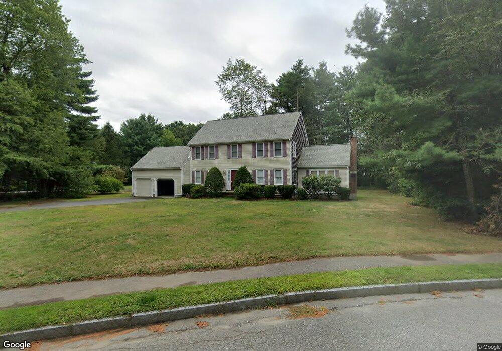
27 Josiahs Ln Hanover, MA 02339
Estimated Value: $945,000 - $1,120,000
4
Beds
3
Baths
2,284
Sq Ft
$447/Sq Ft
Est. Value
About This Home
This home is located at 27 Josiahs Ln, Hanover, MA 02339 and is currently estimated at $1,021,488, approximately $447 per square foot. 27 Josiahs Ln is a home located in Plymouth County with nearby schools including Hanover High School, Cadence Academy Preschool - Hanover, and Cardinal Cushing Centers.
Ownership History
Date
Name
Owned For
Owner Type
Purchase Details
Closed on
Aug 29, 1996
Sold by
Oneill and Oneill Robert V
Bought by
Sullivan Martin B and Sullivan Doreen A
Current Estimated Value
Purchase Details
Closed on
Jun 7, 1996
Sold by
A B Kahane & Assoc Inc
Bought by
Oneill and Oneill Robert V
Create a Home Valuation Report for This Property
The Home Valuation Report is an in-depth analysis detailing your home's value as well as a comparison with similar homes in the area
Home Values in the Area
Average Home Value in this Area
Purchase History
| Date | Buyer | Sale Price | Title Company |
|---|---|---|---|
| Sullivan Martin B | $250,000 | -- | |
| Sullivan Martin B | $250,000 | -- | |
| Oneill | $90,000 | -- | |
| Oneill | $90,000 | -- |
Source: Public Records
Mortgage History
| Date | Status | Borrower | Loan Amount |
|---|---|---|---|
| Open | Oneill | $353,902 | |
| Closed | Oneill | $349,615 |
Source: Public Records
Tax History Compared to Growth
Tax History
| Year | Tax Paid | Tax Assessment Tax Assessment Total Assessment is a certain percentage of the fair market value that is determined by local assessors to be the total taxable value of land and additions on the property. | Land | Improvement |
|---|---|---|---|---|
| 2025 | $10,680 | $864,800 | $323,300 | $541,500 |
| 2024 | $10,426 | $812,000 | $323,300 | $488,700 |
| 2023 | $9,832 | $728,800 | $293,900 | $434,900 |
| 2022 | $9,757 | $639,800 | $269,400 | $370,400 |
| 2021 | $9,710 | $594,600 | $244,800 | $349,800 |
| 2020 | $9,445 | $579,100 | $244,800 | $334,300 |
| 2019 | $9,511 | $579,600 | $267,100 | $312,500 |
| 2018 | $10,202 | $537,400 | $256,000 | $281,400 |
| 2017 | $8,673 | $525,000 | $251,300 | $273,700 |
| 2016 | $8,524 | $505,600 | $238,100 | $267,500 |
| 2015 | $8,010 | $496,000 | $228,500 | $267,500 |
Source: Public Records
Map
Nearby Homes