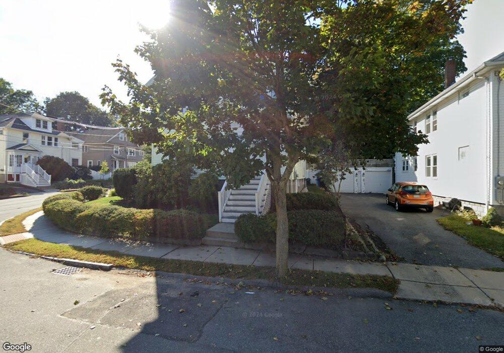
27 King St Unit 29 Belmont, MA 02478
Waverley Square NeighborhoodEstimated Value: $1,243,000 - $1,527,579
5
Beds
2
Baths
2,829
Sq Ft
$476/Sq Ft
Est. Value
About This Home
This home is located at 27 King St Unit 29, Belmont, MA 02478 and is currently estimated at $1,347,645, approximately $476 per square foot. 27 King St Unit 29 is a home located in Middlesex County with nearby schools including Daniel Butler School, Winthrop L Chenery Middle School, and Belmont High School.
Ownership History
Date
Name
Owned For
Owner Type
Purchase Details
Closed on
Mar 3, 2011
Sold by
Boyle Stephen H and Salmon Susan R
Bought by
27-29 King St Nt and Fenton Barry W
Current Estimated Value
Home Financials for this Owner
Home Financials are based on the most recent Mortgage that was taken out on this home.
Original Mortgage
$230,000
Outstanding Balance
$157,809
Interest Rate
4.76%
Mortgage Type
Purchase Money Mortgage
Estimated Equity
$1,189,836
Create a Home Valuation Report for This Property
The Home Valuation Report is an in-depth analysis detailing your home's value as well as a comparison with similar homes in the area
Home Values in the Area
Average Home Value in this Area
Purchase History
| Date | Buyer | Sale Price | Title Company |
|---|---|---|---|
| 27-29 King St Nt | -- | -- |
Source: Public Records
Mortgage History
| Date | Status | Borrower | Loan Amount |
|---|---|---|---|
| Open | 27-29 King St Nt | $230,000 |
Source: Public Records
Tax History Compared to Growth
Tax History
| Year | Tax Paid | Tax Assessment Tax Assessment Total Assessment is a certain percentage of the fair market value that is determined by local assessors to be the total taxable value of land and additions on the property. | Land | Improvement |
|---|---|---|---|---|
| 2025 | $14,443 | $1,268,000 | $576,000 | $692,000 |
| 2024 | $13,517 | $1,280,000 | $763,000 | $517,000 |
| 2023 | $13,319 | $1,185,000 | $720,000 | $465,000 |
| 2022 | $12,589 | $1,089,000 | $658,000 | $431,000 |
| 2021 | $12,659 | $1,097,000 | $728,000 | $369,000 |
| 2020 | $11,088 | $1,008,000 | $608,000 | $400,000 |
| 2019 | $10,515 | $901,000 | $447,000 | $454,000 |
| 2018 | $10,400 | $856,000 | $406,000 | $450,000 |
| 2017 | $10,380 | $818,000 | $372,000 | $446,000 |
| 2016 | $9,671 | $770,000 | $331,000 | $439,000 |
| 2015 | $8,217 | $637,000 | $302,000 | $335,000 |
Source: Public Records
Map
Nearby Homes
- 26 Ridge Rd
- 88 Bartlett Ave
- 17 Ripley Rd
- 289 Waverley Ave Unit 2
- 98 Carroll St Unit 98
- 748 Belmont St
- 103 Harnden Ave Unit 103
- 28 Whitney St
- 99 Beech St
- 50 Carroll St Unit 50
- 18 Wilson Ave Unit 2
- 356 Lexington St
- 914 Belmont St
- 2 Bartlett Ave Unit 1
- 287 Lexington St
- 121 Channing Rd
- 6 Hovey St
- 57 Pierce Rd Unit 57
- 30 Duff St
- 1 Bridgham Ave
- 23 King St
- 21 King St
- 23 King St
- 23 King St Unit 1
- 139 Bartlett Ave Unit 2
- 139 Bartlett Ave Unit 1
- 139 Bartlett Ave Unit 1,139
- 19 King St Unit 19
- 17 King St Unit 19
- 15 Banks St
- 15 Banks St Unit 2
- 15 Banks St Unit 1
- 126 Bartlett Ave Unit 128
- 120 Bartlett Ave Unit 122
- 120 Bartlett Ave Unit 1
- 132 Bartlett Ave Unit 2
- 132 Bartlett Ave Unit 132
- 132 Bartlett Ave
- 9 Banks St Unit 11
- 121 Bartlett Ave Unit 123