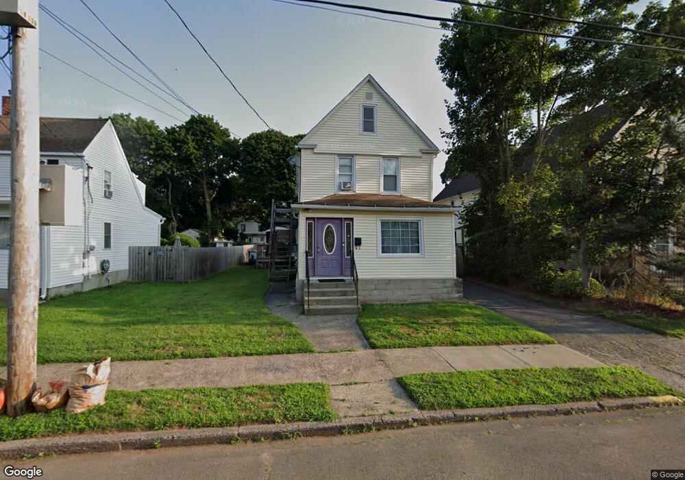
27 Leete St West Haven, CT 06516
West Haven Center NeighborhoodEstimated Value: $408,554 - $453,000
4
Beds
2
Baths
1,776
Sq Ft
$242/Sq Ft
Est. Value
About This Home
This home is located at 27 Leete St, West Haven, CT 06516 and is currently estimated at $429,389, approximately $241 per square foot. 27 Leete St is a home located in New Haven County with nearby schools including Carrigan 5/6 Intermediate School, Harry M. Bailey Middle School, and West Haven High School.
Ownership History
Date
Name
Owned For
Owner Type
Purchase Details
Closed on
Feb 19, 1993
Sold by
Johnson Frank S and Johnson Lynne M
Bought by
Petrelli Luke and Petrelli Mary
Current Estimated Value
Home Financials for this Owner
Home Financials are based on the most recent Mortgage that was taken out on this home.
Original Mortgage
$111,500
Interest Rate
8.06%
Mortgage Type
Purchase Money Mortgage
Create a Home Valuation Report for This Property
The Home Valuation Report is an in-depth analysis detailing your home's value as well as a comparison with similar homes in the area
Home Values in the Area
Average Home Value in this Area
Purchase History
| Date | Buyer | Sale Price | Title Company |
|---|---|---|---|
| Petrelli Luke | $114,000 | -- | |
| Petrelli Luke | $114,000 | -- |
Source: Public Records
Mortgage History
| Date | Status | Borrower | Loan Amount |
|---|---|---|---|
| Open | Petrelli Luke | $100,000 | |
| Closed | Petrelli Luke | $75,000 | |
| Closed | Petrelli Luke | $58,500 | |
| Closed | Petrelli Luke | $111,500 |
Source: Public Records
Tax History Compared to Growth
Tax History
| Year | Tax Paid | Tax Assessment Tax Assessment Total Assessment is a certain percentage of the fair market value that is determined by local assessors to be the total taxable value of land and additions on the property. | Land | Improvement |
|---|---|---|---|---|
| 2025 | $8,774 | $254,100 | $62,720 | $191,380 |
| 2024 | $8,094 | $166,810 | $43,470 | $123,340 |
| 2023 | $7,758 | $166,810 | $43,470 | $123,340 |
| 2022 | $7,607 | $166,810 | $43,470 | $123,340 |
| 2021 | $7,607 | $166,810 | $43,470 | $123,340 |
| 2020 | $6,790 | $134,540 | $35,140 | $99,400 |
| 2019 | $6,548 | $134,540 | $35,140 | $99,400 |
| 2018 | $6,492 | $134,540 | $35,140 | $99,400 |
| 2017 | $6,143 | $134,540 | $35,140 | $99,400 |
| 2016 | $6,130 | $134,540 | $35,140 | $99,400 |
| 2015 | $5,703 | $141,330 | $38,150 | $103,180 |
| 2014 | $5,667 | $141,330 | $38,150 | $103,180 |
Source: Public Records
Map
Nearby Homes
- 88 William St
- 72 Atwater St
- 202 Campbell Ave
- 341 Peck Ave
- 159 Leete St
- 189 Park St
- 248 William St
- 94 Thomas St
- 102 Brown St
- 90 Blohm St
- 481 Savin Ave
- 140 Captain Thomas Blvd Unit 302
- 34 Thomas St
- 307R Washington Ave
- 38 Brown St
- 204 West Walk Unit 204
- 1 Peck Ave Unit 11
- 12 East Ave
- 82 Jones St
- 79 May St