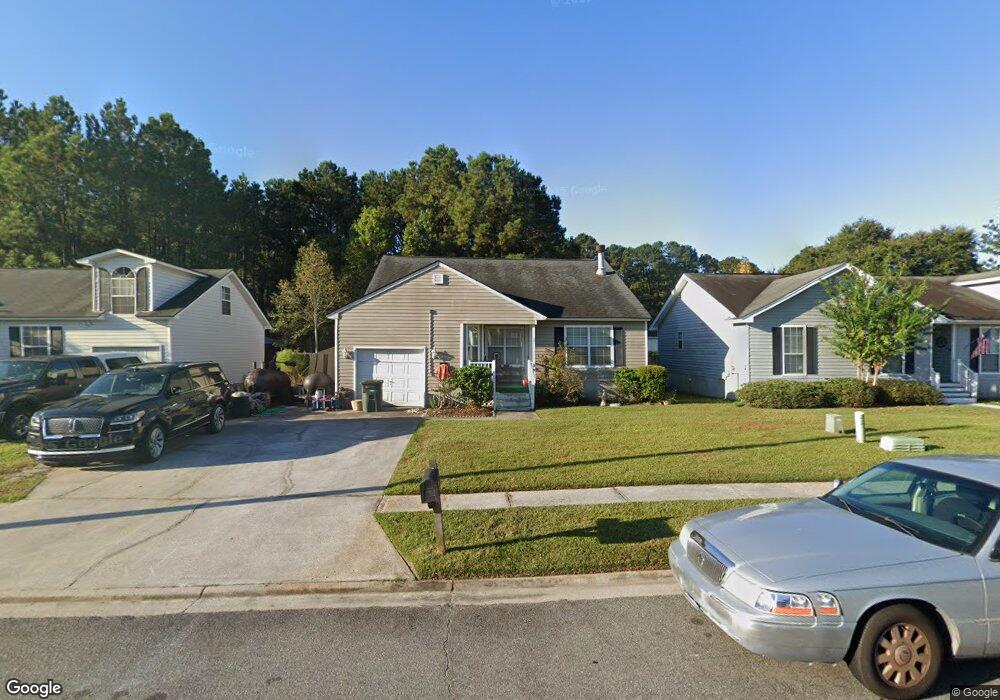
27 Leeward Dr Savannah, GA 31419
Estimated Value: $221,000 - $284,000
3
Beds
2
Baths
1,294
Sq Ft
$193/Sq Ft
Est. Value
About This Home
This home is located at 27 Leeward Dr, Savannah, GA 31419 and is currently estimated at $249,462, approximately $192 per square foot. 27 Leeward Dr is a home located in Chatham County with nearby schools including Southwest Elementary School, Windsor Forest High School, and Southwest Middle School.
Ownership History
Date
Name
Owned For
Owner Type
Purchase Details
Closed on
Oct 9, 2019
Sold by
Miltiades William A
Bought by
Wam Investments Llc
Current Estimated Value
Purchase Details
Closed on
Jul 31, 2014
Sold by
Miltiades William A
Bought by
Wam Investments Llc
Purchase Details
Closed on
Dec 29, 2010
Sold by
Miltiades William A
Bought by
Wam Investments Llc
Purchase Details
Closed on
Dec 18, 2009
Sold by
Sec Of Housing & U
Bought by
Miltiades William A
Home Financials for this Owner
Home Financials are based on the most recent Mortgage that was taken out on this home.
Original Mortgage
$56,000
Interest Rate
4.82%
Mortgage Type
New Conventional
Purchase Details
Closed on
Oct 7, 2008
Sold by
Not Provided
Bought by
Wam Investments Llc
Purchase Details
Closed on
Jul 8, 2004
Sold by
Ford Bryon P
Bought by
Rowse Reagan B and Bouchillon Hoke S
Create a Home Valuation Report for This Property
The Home Valuation Report is an in-depth analysis detailing your home's value as well as a comparison with similar homes in the area
Home Values in the Area
Average Home Value in this Area
Purchase History
| Date | Buyer | Sale Price | Title Company |
|---|---|---|---|
| Wam Investments Llc | -- | -- | |
| Miltiades William A | -- | -- | |
| Wam Investments Llc | -- | -- | |
| Miltiades William A | -- | -- | |
| Wam Investments Llc | -- | -- | |
| Wam Investments Llc | -- | -- | |
| Miltiades William A | $70,000 | -- | |
| Wam Investments Llc | $115,342 | -- | |
| Rowse Reagan B | -- | -- |
Source: Public Records
Mortgage History
| Date | Status | Borrower | Loan Amount |
|---|---|---|---|
| Previous Owner | Miltiades William A | $56,000 |
Source: Public Records
Tax History Compared to Growth
Tax History
| Year | Tax Paid | Tax Assessment Tax Assessment Total Assessment is a certain percentage of the fair market value that is determined by local assessors to be the total taxable value of land and additions on the property. | Land | Improvement |
|---|---|---|---|---|
| 2025 | $1,825 | $28,000 | $15,400 | $12,600 |
| 2024 | $1,825 | $28,000 | $15,400 | $12,600 |
| 2023 | $1,530 | $28,000 | $15,400 | $12,600 |
| 2022 | $998 | $28,000 | $15,400 | $12,600 |
| 2021 | $977 | $28,000 | $15,400 | $12,600 |
| 2020 | $1,022 | $28,000 | $15,400 | $12,600 |
| 2019 | $1,648 | $28,000 | $15,400 | $12,600 |
| 2018 | $1,138 | $28,000 | $15,400 | $12,600 |
| 2017 | $1,020 | $28,000 | $15,400 | $12,600 |
| 2016 | $1,005 | $28,000 | $15,400 | $12,600 |
| 2015 | $1,467 | $28,000 | $15,400 | $12,600 |
| 2014 | $1,312 | $28,000 | $0 | $0 |
Source: Public Records
Map
Nearby Homes
- 128 Cambridge Dr
- 146 Stockbridge Dr
- 7 Bimini Dr
- 13 Bimini Dr
- 34 Orchid Ln
- 30 Orchid Ln
- 101 Cambridge Dr
- 10 Snowy Egret Ct
- 6 Snowy Egret Ct
- 777 King George Blvd Unit 51
- 1 Sea Ln
- 317 Lakeshore Dr
- 313 Lakeshore Dr
- 115 Companion Way
- 1 Bluff Point
- 8 Crows Nest Point
- 12 Cove Ct
- 127 Lakeshore Dr
- 210 Pine Grove Dr
- 127 Pine Grove Dr