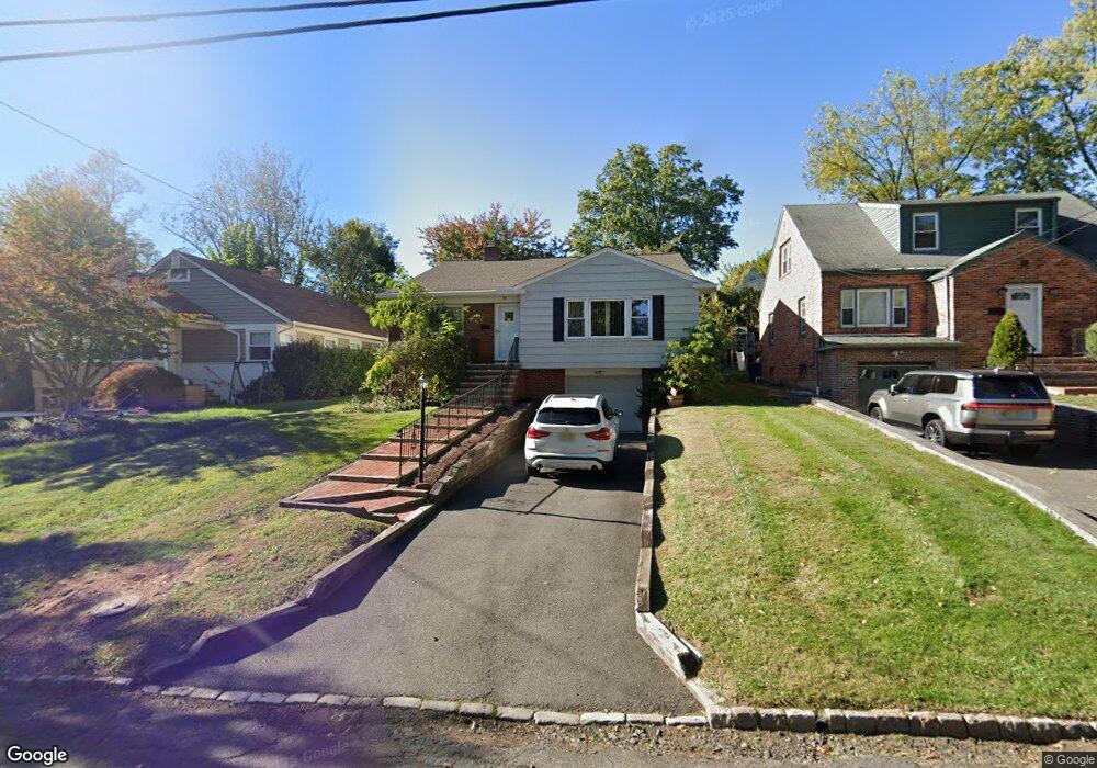
27 Locust Ave Millburn, NJ 07041
Estimated Value: $921,907 - $1,179,000
Studio
--
Bath
1,588
Sq Ft
$658/Sq Ft
Est. Value
About This Home
This home is located at 27 Locust Ave, Millburn, NJ 07041 and is currently estimated at $1,044,227, approximately $657 per square foot. 27 Locust Ave is a home located in Essex County with nearby schools including Wyoming Elementary School, Millburn Middle School, and Millburn High School.
Ownership History
Date
Name
Owned For
Owner Type
Purchase Details
Closed on
May 8, 2020
Sold by
Wojcik Stanislawa
Bought by
Wojcik Natalia and Wojcik Iwona
Current Estimated Value
Purchase Details
Closed on
Jan 23, 1997
Sold by
Bohrod Elaine
Bought by
Wojcik Jan and Wojcik Stanislawa
Home Financials for this Owner
Home Financials are based on the most recent Mortgage that was taken out on this home.
Original Mortgage
$125,000
Outstanding Balance
$13,450
Interest Rate
7.65%
Estimated Equity
$1,030,777
Purchase Details
Closed on
Jun 8, 1994
Sold by
Goldberg Lee
Bought by
Bohrod Elaine
Create a Home Valuation Report for This Property
The Home Valuation Report is an in-depth analysis detailing your home's value as well as a comparison with similar homes in the area
Home Values in the Area
Average Home Value in this Area
Purchase History
| Date | Buyer | Sale Price | Title Company |
|---|---|---|---|
| Wojcik Natalia | -- | None Available | |
| Wojcik Jan | $192,500 | -- | |
| Bohrod Elaine | $204,000 | -- |
Source: Public Records
Mortgage History
| Date | Status | Borrower | Loan Amount |
|---|---|---|---|
| Open | Wojcik Jan | $125,000 |
Source: Public Records
Tax History
| Year | Tax Paid | Tax Assessment Tax Assessment Total Assessment is a certain percentage of the fair market value that is determined by local assessors to be the total taxable value of land and additions on the property. | Land | Improvement |
|---|---|---|---|---|
| 2025 | $11,325 | $571,400 | $421,200 | $150,200 |
| 2024 | $11,177 | $571,400 | $421,200 | $150,200 |
| 2022 | $11,102 | $571,400 | $421,200 | $150,200 |
| 2021 | $11,074 | $571,400 | $421,200 | $150,200 |
| 2020 | $11,005 | $571,400 | $421,200 | $150,200 |
| 2019 | $11,028 | $571,400 | $421,200 | $150,200 |
| 2018 | $10,868 | $571,400 | $421,200 | $150,200 |
| 2017 | $10,605 | $571,400 | $421,200 | $150,200 |
| 2016 | $10,251 | $475,900 | $235,800 | $240,100 |
| 2015 | $10,018 | $475,900 | $235,800 | $240,100 |
| 2014 | $9,594 | $475,900 | $235,800 | $240,100 |
Source: Public Records
Map
Nearby Homes
- 15 Evergreen Terrace
- 30 Walnut Ave
- 161 Myrtle Ave
- 819 Ridgewood Rd
- 425 Wyoming Ave
- 29 S Mountain Rd
- 84 Cedar St
- 50 Cypress St
- 8 Arcadia Place
- 20 Parkview Dr
- 22B Arcadia Place
- 894 Ridgewood Rd
- 2282 Springfield Ave
- 129 Sagamore Rd
- 84 Maple St
- 5 Maple Ave Unit 102
- 2140 Springfield Ave
- 148 Jockey Hollow Way
- 4 Rynda Rd
- 2745 Vauxhall Rd
Your Personal Tour Guide
Ask me questions while you tour the home.