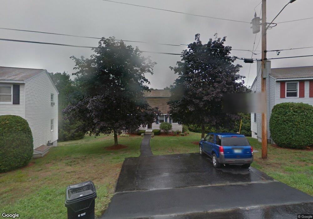
27 Mahogany Dr Unit U119 Nashua, NH 03062
West Hollis NeighborhoodEstimated Value: $413,108 - $494,000
3
Beds
2
Baths
1,536
Sq Ft
$298/Sq Ft
Est. Value
About This Home
This home is located at 27 Mahogany Dr Unit U119, Nashua, NH 03062 and is currently estimated at $458,027, approximately $298 per square foot. 27 Mahogany Dr Unit U119 is a home located in Hillsborough County with nearby schools including Main Dunstable School, Elm Street Middle School, and Nashua High School South.
Ownership History
Date
Name
Owned For
Owner Type
Purchase Details
Closed on
Mar 31, 1998
Sold by
Wakefield-Wils Amber A
Bought by
Clare Patrick J and Clare Dorothea M
Current Estimated Value
Home Financials for this Owner
Home Financials are based on the most recent Mortgage that was taken out on this home.
Original Mortgage
$83,700
Interest Rate
6.96%
Create a Home Valuation Report for This Property
The Home Valuation Report is an in-depth analysis detailing your home's value as well as a comparison with similar homes in the area
Home Values in the Area
Average Home Value in this Area
Purchase History
| Date | Buyer | Sale Price | Title Company |
|---|---|---|---|
| Clare Patrick J | $93,000 | -- |
Source: Public Records
Mortgage History
| Date | Status | Borrower | Loan Amount |
|---|---|---|---|
| Open | Clare Patrick J | $117,505 | |
| Closed | Clare Patrick J | $135,000 | |
| Closed | Clare Patrick J | $83,700 |
Source: Public Records
Tax History Compared to Growth
Tax History
| Year | Tax Paid | Tax Assessment Tax Assessment Total Assessment is a certain percentage of the fair market value that is determined by local assessors to be the total taxable value of land and additions on the property. | Land | Improvement |
|---|---|---|---|---|
| 2024 | $6,430 | $404,400 | $0 | $404,400 |
| 2023 | $5,925 | $325,000 | $0 | $325,000 |
| 2022 | $5,873 | $325,000 | $0 | $325,000 |
| 2021 | $4,948 | $213,100 | $0 | $213,100 |
| 2020 | $4,807 | $212,600 | $0 | $212,600 |
| 2019 | $4,626 | $212,600 | $0 | $212,600 |
| 2018 | $4,509 | $212,600 | $0 | $212,600 |
| 2017 | $4,542 | $176,100 | $0 | $176,100 |
| 2016 | $4,415 | $176,100 | $0 | $176,100 |
| 2015 | $4,320 | $176,100 | $0 | $176,100 |
| 2014 | $4,235 | $176,100 | $0 | $176,100 |
Source: Public Records
Map
Nearby Homes
- 5 Plainfield Ln
- 4 Chesapeake Rd
- 20 Martha St
- 11 Bartemus Trail Unit 204
- 1014 W Hollis St
- 76 Bartemus Trail Unit U231
- 46 Scenic Dr
- 12 Spring Cove Rd Unit U103
- 40 Spring Cove Rd Unit U117
- 12 Clovercrest Dr
- 25 Cortez Dr Unit U57
- 334 Broad St
- 11 Rideout Rd
- 2 Matties Way
- 16 Laurel Ct Unit U320
- 47 Dogwood Dr Unit U202
- 27 Country Hill Rd Unit U90
- 599 W Hollis St
- 3 Richmond St
- 4 Nelson St
- 25 Mahogany Dr Unit U118
- 29 Mahogany Dr Unit U120
- 27 Copperfield Dr Unit U121
- 23 Mahogany Dr Unit U117
- 12 Skyline Dr
- 23 Copperfield Dr Unit U141
- 10 Skyline Dr
- 3 Darien Cir Unit U122
- 14 Skyline Dr
- 5 Darien Cir Unit U123
- 20 Mahogany Dr Unit U115
- 21 Copperfield Dr Unit U143
- 21 Mahogany Dr Unit U116
- 26 Copperfield Dr Unit U139
- 24 Copperfield Dr Unit U140
- 18 Mahogany Dr Unit U113
- 4 Jacoby Cir Unit U138
- 19 Copperfield Dr Unit U145
- 18 Skyline Dr
- 16 Skyline Dr