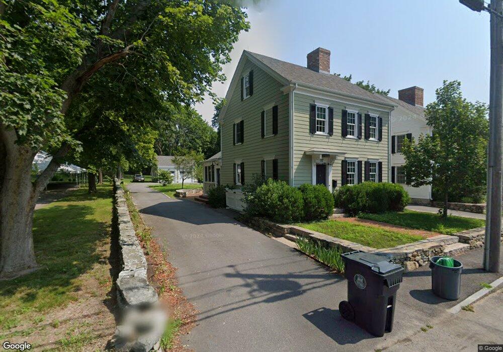
27 Main St Swansea, MA 02777
West Swansea NeighborhoodEstimated Value: $586,000 - $679,000
3
Beds
2
Baths
1,744
Sq Ft
$360/Sq Ft
Est. Value
About This Home
This home is located at 27 Main St, Swansea, MA 02777 and is currently estimated at $628,546, approximately $360 per square foot. 27 Main St is a home located in Bristol County with nearby schools including Joseph Case High School, Swansea Wood School, and SCEC Life Academy.
Ownership History
Date
Name
Owned For
Owner Type
Purchase Details
Closed on
Jul 27, 2021
Sold by
Moore Michael and Moore Joyce A
Bought by
Moore Michael
Current Estimated Value
Purchase Details
Closed on
May 3, 2016
Sold by
Moore Michael and Moore Joyce A
Bought by
27 Main Street Ret
Purchase Details
Closed on
Dec 28, 2011
Sold by
Fnma
Bought by
Moore Joyce A and Moore Michael
Purchase Details
Closed on
Oct 17, 2011
Sold by
Cooper Richard E
Bought by
Federal National Mortgage Association
Create a Home Valuation Report for This Property
The Home Valuation Report is an in-depth analysis detailing your home's value as well as a comparison with similar homes in the area
Home Values in the Area
Average Home Value in this Area
Purchase History
| Date | Buyer | Sale Price | Title Company |
|---|---|---|---|
| Moore Michael | -- | None Available | |
| 27 Main Street Ret | -- | -- | |
| Moore Joyce A | $95,000 | -- | |
| Federal National Mortgage Association | $102,000 | -- |
Source: Public Records
Tax History Compared to Growth
Tax History
| Year | Tax Paid | Tax Assessment Tax Assessment Total Assessment is a certain percentage of the fair market value that is determined by local assessors to be the total taxable value of land and additions on the property. | Land | Improvement |
|---|---|---|---|---|
| 2025 | $6,365 | $534,000 | $148,000 | $386,000 |
| 2024 | $6,463 | $539,000 | $148,000 | $391,000 |
| 2023 | $5,729 | $436,300 | $108,000 | $328,300 |
| 2022 | $5,339 | $371,000 | $98,200 | $272,800 |
| 2021 | $5,338 | $341,500 | $97,800 | $243,700 |
| 2020 | $5,352 | $343,500 | $97,800 | $245,700 |
| 2019 | $5,374 | $346,500 | $87,100 | $259,400 |
| 2018 | $5,212 | $341,100 | $84,500 | $256,600 |
| 2017 | $4,494 | $338,400 | $84,500 | $253,900 |
| 2016 | $4,328 | $320,100 | $72,800 | $247,300 |
| 2015 | $4,061 | $309,300 | $72,800 | $236,500 |
| 2014 | $3,744 | $291,600 | $72,800 | $218,800 |
Source: Public Records
Map
Nearby Homes
- 34 Base Lodge Ln
- 0 Hortonville Rd Unit 73242268
- 194 Hortonville Rd
- 8 2nd St
- 24 Front St
- 30 Front St
- Lot 11 Lynch
- 0 Proprietors Way Unit 73324662
- Lot 10 Lynch
- 675 Lees River Ave
- 265 Stevens Rd
- 33 Rhinecliffe Rd
- 19 Richard Rd
- 197 Alberta Ave
- 1 Taunton River
- 126 Jaffrey St
- 0 Bark St Unit 1342599
- 0 Bark St Unit 73152576
- 4 Meadowbrook Ave
- 41 James Ave
- 21 Main St
- 15 Main St
- 9 Main St
- 1 Main St
- 52 Main St
- 59 Main St
- Lot 13 Shepherds Ct
- 16 - Lot16 Idlewoods Dr
- Lot 16 Idlewoods Dr
- 18 - Lot18 Idlewoods Dr
- Lot 18 Idlewoods Dr
- 300 Kayleigh Ct
- 64 Main St
- 155 Elm St
- 72 Main St
- 157 Elm St
- 167 Elm St
- 1 Busy State Rd
- Lot 17 Palmer River Rd
- Lot 13 Palmer River Rd