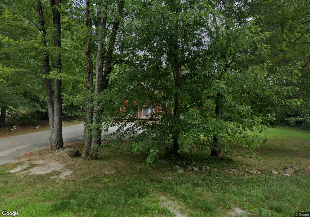
27 Maple St North Conway, NH 03860
Estimated Value: $528,000 - $599,000
3
Beds
2
Baths
1,949
Sq Ft
$286/Sq Ft
Est. Value
About This Home
This home is located at 27 Maple St, North Conway, NH 03860 and is currently estimated at $557,409, approximately $285 per square foot. 27 Maple St is a home with nearby schools including A. Crosby Kennett Middle School, Kennett High School, and The Lilliputian School.
Ownership History
Date
Name
Owned For
Owner Type
Purchase Details
Closed on
Nov 27, 2024
Sold by
2112 Llc
Bought by
Red Barchetta Llc
Current Estimated Value
Purchase Details
Closed on
Nov 15, 2023
Sold by
Calnan Edward T
Bought by
2112Llc
Purchase Details
Closed on
Mar 6, 2020
Sold by
Crossbarry Rt
Bought by
Calnan Edward T
Home Financials for this Owner
Home Financials are based on the most recent Mortgage that was taken out on this home.
Original Mortgage
$206,000
Interest Rate
3.4%
Mortgage Type
New Conventional
Create a Home Valuation Report for This Property
The Home Valuation Report is an in-depth analysis detailing your home's value as well as a comparison with similar homes in the area
Home Values in the Area
Average Home Value in this Area
Purchase History
| Date | Buyer | Sale Price | Title Company |
|---|---|---|---|
| Red Barchetta Llc | -- | None Available | |
| Red Barchetta Llc | -- | None Available | |
| 2112Llc | -- | None Available | |
| 2112Llc | -- | None Available | |
| Calnan Edward T | -- | None Available |
Source: Public Records
Mortgage History
| Date | Status | Borrower | Loan Amount |
|---|---|---|---|
| Previous Owner | Calnan Edward T | $206,000 |
Source: Public Records
Tax History Compared to Growth
Tax History
| Year | Tax Paid | Tax Assessment Tax Assessment Total Assessment is a certain percentage of the fair market value that is determined by local assessors to be the total taxable value of land and additions on the property. | Land | Improvement |
|---|---|---|---|---|
| 2024 | $5,797 | $460,100 | $103,600 | $356,500 |
| 2023 | $5,273 | $460,100 | $103,600 | $356,500 |
| 2022 | $4,314 | $224,900 | $56,800 | $168,100 |
| 2021 | $3,677 | $225,000 | $56,900 | $168,100 |
| 2020 | $4,201 | $225,000 | $56,900 | $168,100 |
| 2019 | $3,897 | $225,000 | $56,900 | $168,100 |
| 2018 | $3,970 | $179,400 | $42,900 | $136,500 |
| 2017 | $3,584 | $179,400 | $42,900 | $136,500 |
| 2016 | $3,464 | $179,400 | $42,900 | $136,500 |
| 2015 | $3,425 | $179,400 | $42,900 | $136,500 |
| 2014 | $3,383 | $179,400 | $42,900 | $136,500 |
| 2013 | $3,267 | $182,900 | $42,900 | $140,000 |
Source: Public Records
Map
Nearby Homes
- 00000 Ledgewood Rd
- 17 Purple Finch Rd Unit 73
- 129 Dinsmore Rd
- 3360 & 3378 White Mountain Hwy
- 3465 White Mountain Hwy
- 73 Dinsmore Rd
- 11 Intervale Outlook Cir Unit 3
- 23 Intervale Outlook Cir Unit 8
- 2955 White Mountain Hwy Unit 106 (W5)
- 2955 White Mountain Hwy Unit 123 (E20)
- 2955 White Mountain Hwy Unit 204 W28
- 2955 White Mountain Hwy Unit 114 (W25)
- 2955 White Mountain Hwy Unit 207 (W-31)
- 46 Crestwood Dr
- 3002 White Mountain Hwy Unit Lots 29 and 30 - 300
- 2906 White Mountain Hwy
- 45 Wildflower Trail Unit 9
- 2760 New Hampshire 16 Unit E008A Week 29
- 56 Forest Park Way Unit 19
- 679 Kearsarge Rd