27 Meek Ave Unit 29 Columbus, OH 43222
Franklinton NeighborhoodEstimated Value: $221,000 - $291,000
4
Beds
2
Baths
2,736
Sq Ft
$88/Sq Ft
Est. Value
About This Home
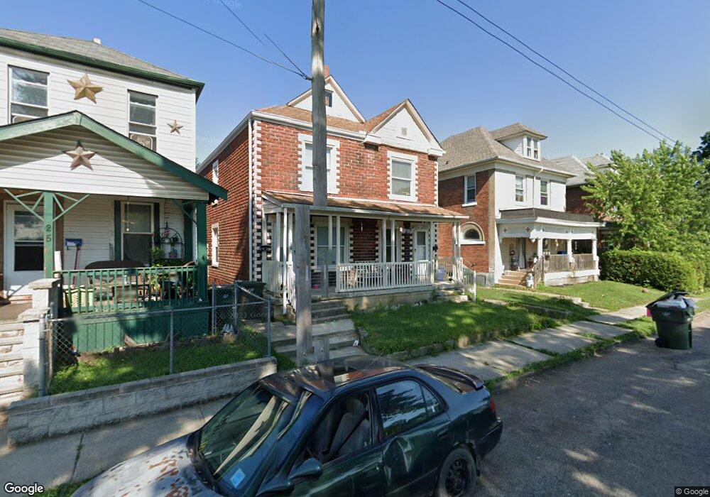
This home is located at 27 Meek Ave Unit 29, Columbus, OH 43222 and is currently estimated at $240,782, approximately $88 per square foot. 27 Meek Ave Unit 29 is a home located in Franklin County with nearby schools including Avondale Elementary School, Starling PK-8, and West High School.
Ownership History
Date
Name
Owned For
Owner Type
Purchase Details
Closed on
Jun 3, 2003
Sold by
Slye Robert L and Slye Deborah K
Bought by
Panagiotopoulos Family Llc
Current Estimated Value
Purchase Details
Closed on
Nov 3, 1989
Bought by
Slye Robert L
Purchase Details
Closed on
Feb 21, 1989
Purchase Details
Closed on
Apr 1, 1986
Create a Home Valuation Report for This Property
The Home Valuation Report is an in-depth analysis detailing your home's value as well as a comparison with similar homes in the area
Home Values in the Area
Average Home Value in this Area
Purchase History
| Date | Buyer | Sale Price | Title Company |
|---|---|---|---|
| Panagiotopoulos Family Llc | $48,500 | -- | |
| Slye Robert L | $25,000 | -- | |
| -- | $19,000 | -- | |
| -- | -- | -- |
Source: Public Records
Tax History Compared to Growth
Tax History
| Year | Tax Paid | Tax Assessment Tax Assessment Total Assessment is a certain percentage of the fair market value that is determined by local assessors to be the total taxable value of land and additions on the property. | Land | Improvement |
|---|---|---|---|---|
| 2024 | $3,117 | $68,010 | $5,920 | $62,090 |
| 2023 | $3,078 | $68,005 | $5,915 | $62,090 |
| 2022 | $945 | $17,790 | $1,580 | $16,210 |
| 2021 | $947 | $17,790 | $1,580 | $16,210 |
| 2020 | $949 | $17,790 | $1,580 | $16,210 |
| 2019 | $921 | $14,810 | $1,300 | $13,510 |
| 2018 | $460 | $14,810 | $1,300 | $13,510 |
| 2017 | $921 | $14,810 | $1,300 | $13,510 |
| 2016 | $1,084 | $15,960 | $1,610 | $14,350 |
| 2015 | $494 | $15,960 | $1,610 | $14,350 |
| 2014 | $990 | $15,960 | $1,610 | $14,350 |
| 2013 | $543 | $17,745 | $1,785 | $15,960 |
Source: Public Records
Map
Nearby Homes
- 69 Rodgers Ave
- 53-55 Hawkes Ave
- 33 N Hartford Ave
- 1020-1026 Cable Ave
- 72 Avondale Ave
- 61 Dakota Ave
- 78 Hawkes Ave
- 45 S Hartford Ave
- 49 S Hartford Ave
- 45 N Hartford Ave
- The Summit Plan at Homes on Hartford - Single Family
- 112 S Cypress Ave
- 186 Avondale Ave Unit 188
- 37-39 S Yale Ave
- 49 S Yale Ave
- 211 Dakota Ave
- 116 W Park Ave
- 148 W Park Ave
- 69-69.5 Chicago Ave
- 273 Avondale Ave