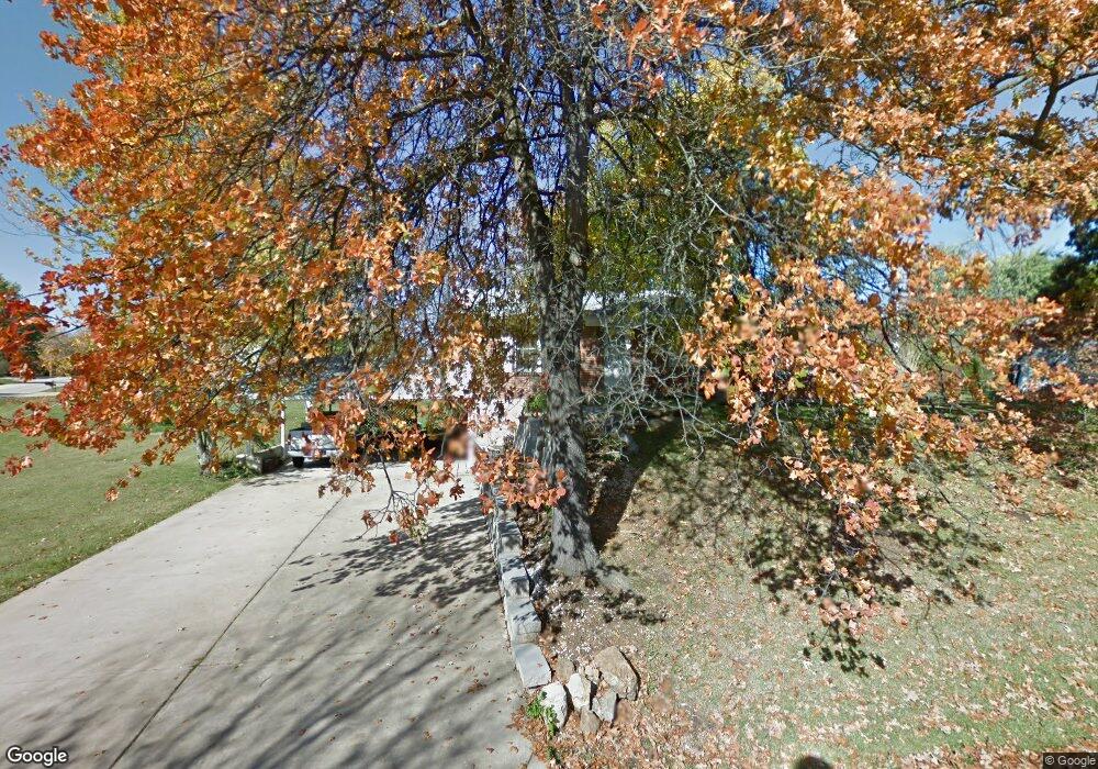
27 N Kern Dr O Fallon, MO 63366
Estimated Value: $249,292 - $302,000
3
Beds
1
Bath
1,232
Sq Ft
$223/Sq Ft
Est. Value
About This Home
This home is located at 27 N Kern Dr, O Fallon, MO 63366 and is currently estimated at $275,073, approximately $223 per square foot. 27 N Kern Dr is a home located in St. Charles County with nearby schools including Green Tree Elementary School, Wentzville South Middle School, and Timberland High School.
Ownership History
Date
Name
Owned For
Owner Type
Purchase Details
Closed on
Oct 30, 2025
Sold by
Eb Property Solutions Llc
Bought by
Eric Berliner Revocable Living Trust
Current Estimated Value
Home Financials for this Owner
Home Financials are based on the most recent Mortgage that was taken out on this home.
Original Mortgage
$217,200
Outstanding Balance
$217,200
Interest Rate
6.26%
Mortgage Type
New Conventional
Estimated Equity
$57,873
Purchase Details
Closed on
May 21, 2025
Sold by
Yamamoto Tracey K
Bought by
Eb Property Solutions Llc
Home Financials for this Owner
Home Financials are based on the most recent Mortgage that was taken out on this home.
Original Mortgage
$205,000
Interest Rate
6.62%
Mortgage Type
New Conventional
Purchase Details
Closed on
May 8, 2025
Sold by
Yamamoto Ryoma
Bought by
Yamamoto Tracey K
Home Financials for this Owner
Home Financials are based on the most recent Mortgage that was taken out on this home.
Original Mortgage
$205,000
Interest Rate
6.62%
Mortgage Type
New Conventional
Create a Home Valuation Report for This Property
The Home Valuation Report is an in-depth analysis detailing your home's value as well as a comparison with similar homes in the area
Home Values in the Area
Average Home Value in this Area
Purchase History
| Date | Buyer | Sale Price | Title Company |
|---|---|---|---|
| Eric Berliner Revocable Living Trust | -- | Investors Title | |
| Eb Property Solutions Llc | -- | Investors Title | |
| Yamamoto Tracey K | -- | None Listed On Document |
Source: Public Records
Mortgage History
| Date | Status | Borrower | Loan Amount |
|---|---|---|---|
| Open | Eric Berliner Revocable Living Trust | $217,200 | |
| Previous Owner | Eb Property Solutions Llc | $205,000 |
Source: Public Records
Tax History Compared to Growth
Tax History
| Year | Tax Paid | Tax Assessment Tax Assessment Total Assessment is a certain percentage of the fair market value that is determined by local assessors to be the total taxable value of land and additions on the property. | Land | Improvement |
|---|---|---|---|---|
| 2025 | $2,662 | $44,986 | -- | -- |
| 2023 | $2,661 | $40,387 | $0 | $0 |
| 2022 | $2,323 | $32,763 | $0 | $0 |
| 2021 | $2,321 | $32,763 | $0 | $0 |
| 2020 | $2,199 | $30,252 | $0 | $0 |
| 2019 | $2,042 | $30,252 | $0 | $0 |
| 2018 | $1,856 | $26,163 | $0 | $0 |
| 2017 | $1,847 | $26,163 | $0 | $0 |
| 2016 | $1,741 | $24,486 | $0 | $0 |
| 2015 | $1,709 | $24,486 | $0 | $0 |
| 2014 | $1,476 | $21,648 | $0 | $0 |
Source: Public Records
Map
Nearby Homes
- 2 Royal Dr
- 11 S Meadow Dr
- 827 Edgewood Dr
- 617 Lakeview Rd
- 22 Holloway Dr
- 904 Palmer Ct Unit 4
- 903 Palmer Ct Unit 3
- 1011 Fairways Dr
- 1467 Cochise Dr
- 1459 Cochise Dr
- 11 Bryan Valley Ct
- 35 Monterey Cypress Dr Unit 2
- 15 Eagles Way Ln
- 147 Columbia Meadows Ln
- 145 Columbia Meadows Ln
- 219 Place
- 136 Columbia Meadows Ln
- 1 Grand Columbia @Columbia Meadows
- 1 Columbia @ Columbia Meadows
- 1 Grand Columbia II @ Columbia Meadows