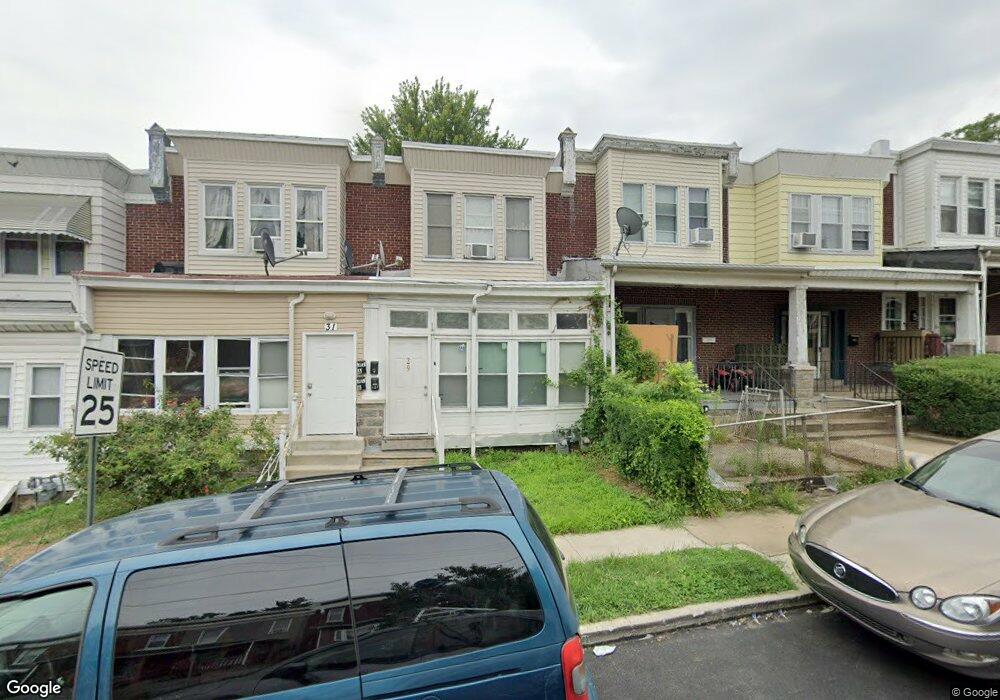
27 N State Rd Upper Darby, PA 19082
Estimated Value: $214,367 - $258,000
3
Beds
1
Bath
1,734
Sq Ft
$135/Sq Ft
Est. Value
About This Home
This home is located at 27 N State Rd, Upper Darby, PA 19082 and is currently estimated at $234,842, approximately $135 per square foot. 27 N State Rd is a home located in Delaware County with nearby schools including Charles Kelly El School, Upper Darby High School, and Harambee Institute of Science and Techno.
Ownership History
Date
Name
Owned For
Owner Type
Purchase Details
Closed on
Aug 11, 2003
Sold by
Rfr Properties Llc
Bought by
Clinton Anthony and Clinton Julianne
Current Estimated Value
Purchase Details
Closed on
Aug 8, 2003
Sold by
The Bank Of New York
Bought by
Rfr Properties Llc
Purchase Details
Closed on
Nov 27, 2002
Sold by
Vouras Elpinike
Bought by
The Bank Of New York
Purchase Details
Closed on
Jul 3, 1997
Sold by
Vouras Elpinike and Vouras Panagiotis
Bought by
Vouras Elpinike
Create a Home Valuation Report for This Property
The Home Valuation Report is an in-depth analysis detailing your home's value as well as a comparison with similar homes in the area
Home Values in the Area
Average Home Value in this Area
Purchase History
| Date | Buyer | Sale Price | Title Company |
|---|---|---|---|
| Clinton Anthony | $44,000 | -- | |
| Rfr Properties Llc | $22,500 | -- | |
| The Bank Of New York | -- | -- | |
| Vouras Elpinike | -- | Commonwealth Land Title Ins |
Source: Public Records
Tax History Compared to Growth
Tax History
| Year | Tax Paid | Tax Assessment Tax Assessment Total Assessment is a certain percentage of the fair market value that is determined by local assessors to be the total taxable value of land and additions on the property. | Land | Improvement |
|---|---|---|---|---|
| 2025 | $3,947 | $93,340 | $21,080 | $72,260 |
| 2024 | $3,947 | $93,340 | $21,080 | $72,260 |
| 2023 | $3,910 | $93,340 | $21,080 | $72,260 |
| 2022 | $3,805 | $93,340 | $21,080 | $72,260 |
| 2021 | $5,131 | $93,340 | $21,080 | $72,260 |
| 2020 | $3,483 | $53,840 | $13,180 | $40,660 |
| 2019 | $3,422 | $53,840 | $13,180 | $40,660 |
| 2018 | $3,382 | $53,840 | $0 | $0 |
| 2017 | $3,294 | $53,840 | $0 | $0 |
| 2016 | $302 | $53,840 | $0 | $0 |
| 2015 | $302 | $53,840 | $0 | $0 |
| 2014 | $302 | $53,840 | $0 | $0 |
Source: Public Records
Map
Nearby Homes
- 7502 Parkview Rd
- 24 Sunshine Rd
- 9 Berbro Ave
- 18 Elm Ave
- 7409 Miller Ave
- 29 College Ave
- 26 New St
- 46 S State Rd
- 107 S Keystone Ave
- 25 N Pennock Ave
- 207 Berbro Ave
- 105 N Fairview Ave
- 41 N Keystone Ave
- 77 N Keystone Ave
- 1314 Farrington Rd
- 7920 W Chester Pike
- 512 Fairfield Ave
- 171 N Carol Blvd
- 7226 Penarth Ave
- 7649 Malvern Ave