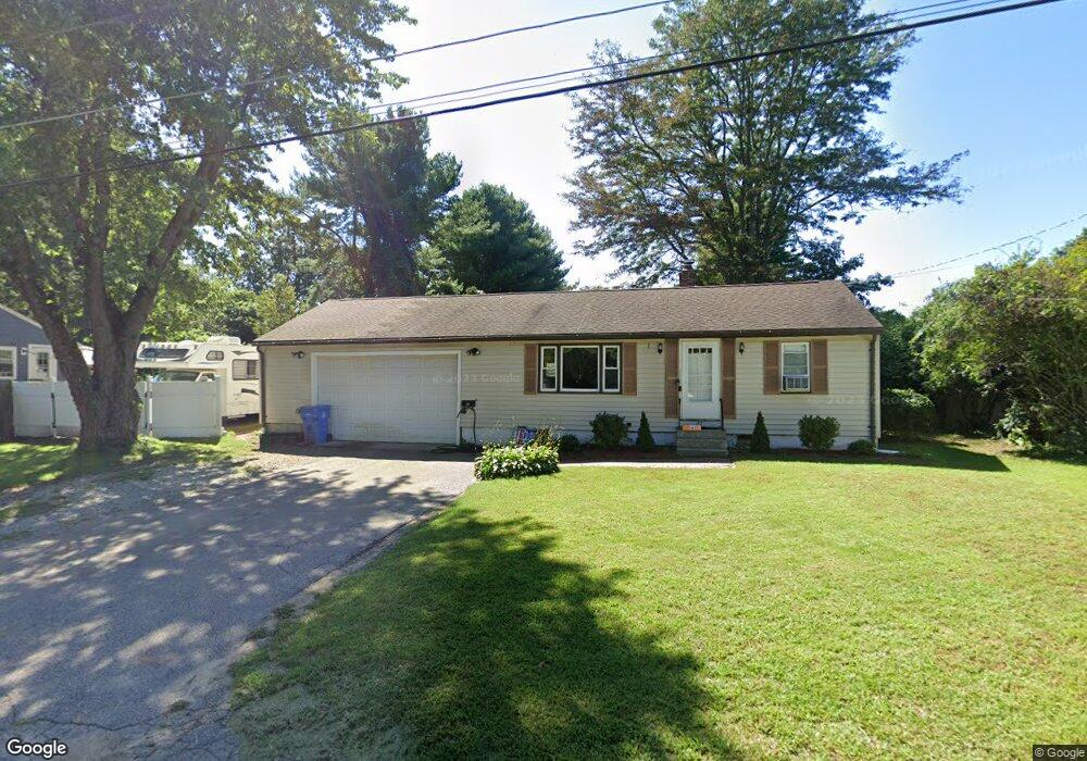
27 Nadeau Dr Wrentham, MA 02093
Estimated Value: $467,000 - $583,121
2
Beds
1
Bath
926
Sq Ft
$576/Sq Ft
Est. Value
About This Home
This home is located at 27 Nadeau Dr, Wrentham, MA 02093 and is currently estimated at $533,780, approximately $576 per square foot. 27 Nadeau Dr is a home located in Norfolk County with nearby schools including Delaney Elementary School, Charles E Roderick, and The Sage School.
Ownership History
Date
Name
Owned For
Owner Type
Purchase Details
Closed on
May 27, 2004
Sold by
Macinnes Gladys H
Bought by
Thurston Adam T and Thurston Holly J
Current Estimated Value
Home Financials for this Owner
Home Financials are based on the most recent Mortgage that was taken out on this home.
Original Mortgage
$289,900
Interest Rate
5.88%
Mortgage Type
Purchase Money Mortgage
Create a Home Valuation Report for This Property
The Home Valuation Report is an in-depth analysis detailing your home's value as well as a comparison with similar homes in the area
Home Values in the Area
Average Home Value in this Area
Purchase History
| Date | Buyer | Sale Price | Title Company |
|---|---|---|---|
| Thurston Adam T | $289,900 | -- | |
| Macinnes Gladys H | -- | -- | |
| Macinnes Gladys H | -- | -- |
Source: Public Records
Mortgage History
| Date | Status | Borrower | Loan Amount |
|---|---|---|---|
| Open | Macinnes Gladys H | $208,000 | |
| Closed | Macinnes Gladys H | $289,900 | |
| Closed | Macinnes Gladys H | $0 |
Source: Public Records
Tax History Compared to Growth
Tax History
| Year | Tax Paid | Tax Assessment Tax Assessment Total Assessment is a certain percentage of the fair market value that is determined by local assessors to be the total taxable value of land and additions on the property. | Land | Improvement |
|---|---|---|---|---|
| 2025 | $5,202 | $448,800 | $258,100 | $190,700 |
| 2024 | $4,848 | $404,000 | $258,100 | $145,900 |
| 2023 | $4,590 | $363,700 | $234,600 | $129,100 |
| 2022 | $4,612 | $337,400 | $218,900 | $118,500 |
| 2021 | $4,273 | $303,700 | $191,100 | $112,600 |
| 2020 | $4,051 | $284,300 | $169,900 | $114,400 |
| 2019 | $3,986 | $282,300 | $169,900 | $112,400 |
| 2018 | $3,976 | $279,200 | $170,100 | $109,100 |
| 2017 | $3,771 | $264,600 | $166,800 | $97,800 |
| 2016 | $3,637 | $254,700 | $162,000 | $92,700 |
| 2015 | $3,508 | $234,200 | $155,800 | $78,400 |
| 2014 | $3,451 | $225,400 | $149,800 | $75,600 |
Source: Public Records
Map
Nearby Homes
- 362 East St
- 65 Pond St
- 120 Hawes St
- 483 Thurston St
- 1 Lorraine Metcalf Dr
- 319 Taunton St
- 270 Dedham St
- 10 Nature View Dr
- 15 Nature View Dr
- 25 Foxboro Rd
- 11 Goodwin Dr
- 11 Earle Stewart Ln
- 131 Creek St Unit 7
- Lot 3 - 14 Earle Stewart Ln
- Lot 1 - Blueberry 2 Car Plan at King Philip Estates
- Lot 8 - Blueberry 2 Car Plan at King Philip Estates
- Lot 5 - Hughes 2 car Plan at King Philip Estates
- Lot 6 - Blueberry 3 Car Plan at King Philip Estates
- Lot 2 - Camden 2 Car Plan at King Philip Estates
- Lot 7 - Cedar Plan at King Philip Estates