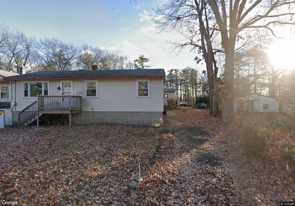
27 New Zealand Rd Seabrook, NH 03874
Estimated Value: $549,000 - $819,000
5
Beds
2
Baths
2,788
Sq Ft
$225/Sq Ft
Est. Value
About This Home
This home is located at 27 New Zealand Rd, Seabrook, NH 03874 and is currently estimated at $627,627, approximately $225 per square foot. 27 New Zealand Rd is a home located in Rockingham County with nearby schools including Seabrook Elementary School, Seabrook Middle School, and Winnacunnet High School.
Ownership History
Date
Name
Owned For
Owner Type
Purchase Details
Closed on
Oct 14, 2020
Sold by
Perkins Debra J
Bought by
Debra J Perkins Ret
Current Estimated Value
Purchase Details
Closed on
Jan 8, 2020
Sold by
Perkins Debra J
Bought by
Eaton Russell A
Purchase Details
Closed on
Sep 19, 2019
Sold by
Therrien Wilma
Bought by
Perkins Debra J
Purchase Details
Closed on
Sep 20, 2018
Sold by
Therrien Wilma
Bought by
Markos Aristotle
Purchase Details
Closed on
Apr 6, 2018
Sold by
Markos Aritotle
Bought by
Therrien Wilma
Create a Home Valuation Report for This Property
The Home Valuation Report is an in-depth analysis detailing your home's value as well as a comparison with similar homes in the area
Home Values in the Area
Average Home Value in this Area
Purchase History
| Date | Buyer | Sale Price | Title Company |
|---|---|---|---|
| Debra J Perkins Ret | -- | None Available | |
| Eaton Russell A | -- | None Available | |
| Perkins Debra J | $75,000 | -- | |
| Markos Aristotle | -- | -- | |
| Therrien Wilma | -- | -- |
Source: Public Records
Tax History Compared to Growth
Tax History
| Year | Tax Paid | Tax Assessment Tax Assessment Total Assessment is a certain percentage of the fair market value that is determined by local assessors to be the total taxable value of land and additions on the property. | Land | Improvement |
|---|---|---|---|---|
| 2024 | $5,179 | $441,900 | $186,900 | $255,000 |
| 2023 | $5,739 | $380,300 | $152,300 | $228,000 |
| 2022 | $2,641 | $380,100 | $152,300 | $227,800 |
| 2021 | $2,554 | $366,300 | $138,500 | $227,800 |
| 2020 | $4,449 | $278,600 | $110,800 | $167,800 |
| 2019 | $4,388 | $278,600 | $110,800 | $167,800 |
| 2018 | $4,251 | $294,600 | $101,500 | $193,100 |
| 2017 | $4,059 | $277,700 | $84,600 | $193,100 |
| 2016 | $4,107 | $277,700 | $84,600 | $193,100 |
| 2015 | $3,998 | $270,300 | $88,000 | $182,300 |
| 2014 | $4,127 | $270,300 | $88,000 | $182,300 |
| 2013 | $4,127 | $270,300 | $88,000 | $182,300 |
Source: Public Records
Map
Nearby Homes
- 38 Rocks Rd Unit 2
- 38 Rocks Rd Unit 1
- 81 Elm Ct
- 20 Railroad Ave
- 213 New Hampshire 107
- 22 Farm Ln
- 46 Kensington Rd
- 8 Kimberly Dr
- 106 Folly Mill Rd
- 14 Coleman Ct
- 75 Border Winds Ave
- 61 Folly Mill Rd
- 51 Depot Rd
- 28 Brooks Rd
- 241 & 245 Lafayette Rd
- 22 Maple Ridge Rd
- 57 Washington St
- 17 Drinkwater Rd
- 84 Blacksnake Rd Unit A
- 84 Blacksnake Rd Unit B
- 27 New Zealand Rd Unit A
- 21 New Zealand Rd
- 20 New Zealand Rd
- 18 New Zealand Rd
- 17 New Zealand Rd
- 25 State Route 107
- 41 New Zealand Rd
- 15 New Zealand Rd
- 43 New Zealand Rd
- 14 New Zealand Rd Unit 3
- 14 New Zealand Rd
- 14 New Zealand Rd Unit 10 Road
- 14 New Zealand Rd Unit 6
- 16 New Zealand Rd
- 8 State Route 107
- 49 New Zealand Rd
- 689 Lafayette Rd
- 4 Foggs Ln
- 6 Foggs Ln
- 2 Foggs Ln