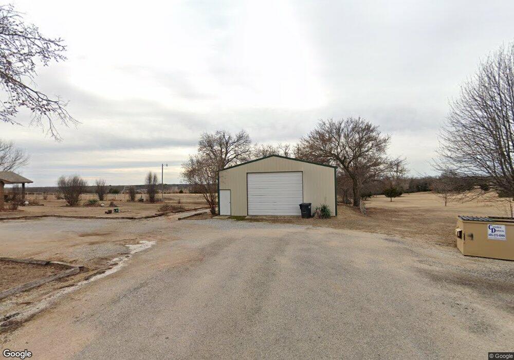
27 Orville Rd Shawnee, OK 74801
Estimated Value: $249,718 - $571,000
5
Beds
2
Baths
2,512
Sq Ft
$149/Sq Ft
Est. Value
About This Home
This home is located at 27 Orville Rd, Shawnee, OK 74801 and is currently estimated at $374,180, approximately $148 per square foot. 27 Orville Rd is a home located in Pottawatomie County with nearby schools including Bethel Elementary School, Bethel Middle School, and Bethel High School.
Ownership History
Date
Name
Owned For
Owner Type
Purchase Details
Closed on
Sep 24, 2025
Sold by
Lamey Patricia and Lamey James M
Bought by
Patricia Lamey Revocable Trust and Lamey
Current Estimated Value
Purchase Details
Closed on
Jan 1, 2020
Sold by
Smith Rhonda
Bought by
Lamey Patricia
Purchase Details
Closed on
Jan 15, 2015
Sold by
Lamey Patricia
Bought by
Lamey Patricia and Lamey James M
Purchase Details
Closed on
Aug 22, 2008
Sold by
Lamey Ronald and Lamey Patricia
Bought by
Ezell Anthony A and Ezell Penny A
Home Financials for this Owner
Home Financials are based on the most recent Mortgage that was taken out on this home.
Original Mortgage
$73,710
Interest Rate
6.29%
Mortgage Type
FHA
Create a Home Valuation Report for This Property
The Home Valuation Report is an in-depth analysis detailing your home's value as well as a comparison with similar homes in the area
Home Values in the Area
Average Home Value in this Area
Purchase History
| Date | Buyer | Sale Price | Title Company |
|---|---|---|---|
| Patricia Lamey Revocable Trust | -- | None Listed On Document | |
| Lamey Patricia | -- | None Available | |
| Lamey Patricia | -- | None Available | |
| Ezell Anthony A | $74,500 | None Available |
Source: Public Records
Mortgage History
| Date | Status | Borrower | Loan Amount |
|---|---|---|---|
| Previous Owner | Ezell Anthony A | $73,710 |
Source: Public Records
Tax History Compared to Growth
Tax History
| Year | Tax Paid | Tax Assessment Tax Assessment Total Assessment is a certain percentage of the fair market value that is determined by local assessors to be the total taxable value of land and additions on the property. | Land | Improvement |
|---|---|---|---|---|
| 2024 | $1,014 | $10,462 | $2,815 | $7,647 |
| 2023 | $1,014 | $10,462 | $2,815 | $7,647 |
| 2022 | $993 | $10,462 | $2,815 | $7,647 |
| 2021 | $1,032 | $10,462 | $2,815 | $7,647 |
| 2020 | $1,025 | $10,462 | $3,039 | $7,423 |
| 2019 | $1,026 | $10,462 | $3,039 | $7,423 |
| 2018 | $1,012 | $10,462 | $3,039 | $7,423 |
| 2017 | $913 | $10,462 | $3,039 | $7,423 |
| 2016 | $919 | $10,462 | $3,039 | $7,423 |
| 2015 | $921 | $10,462 | $3,039 | $7,423 |
| 2014 | $921 | $10,462 | $3,039 | $7,423 |
Source: Public Records
Map
Nearby Homes
- 4 Raymond Rd
- 17195 Bethel Rd
- 3 Raymond Rd
- 103 Pearl Ln
- 110 Pearl Ln
- 117 Pearl Ln
- 37003 Lake Rd
- 102 Pine Valley Ln
- 107 Pine Valley Ln
- 34853 Wildcat Way
- 37207 Lake Rd
- 34501 Lake Rd
- 14955 White Oak Ln
- 00 Gaddy Lot 2 Rd
- 11 Tonya Rd
- 31902 Hardesty Rd
- 18709 N Sharon Rd
- 16 Post Office Ln
- 19301 Sharon Rd
- 104 Overland Ct