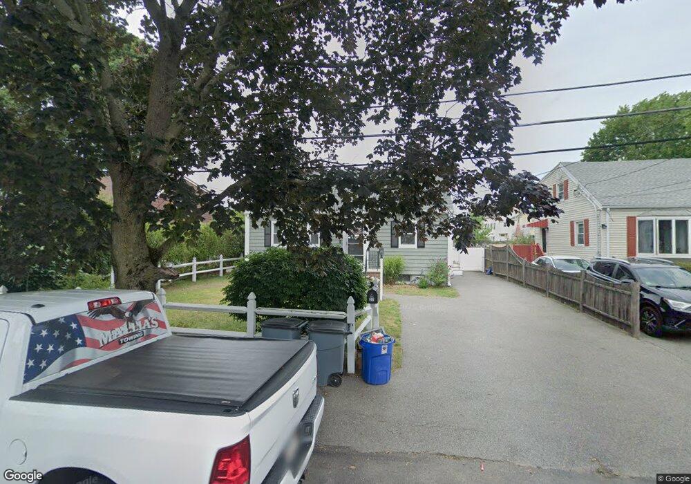
27 Parsons St Peabody, MA 01960
Peabody Town Center NeighborhoodEstimated Value: $595,000 - $653,000
3
Beds
2
Baths
1,344
Sq Ft
$465/Sq Ft
Est. Value
About This Home
This home is located at 27 Parsons St, Peabody, MA 01960 and is currently estimated at $624,712, approximately $464 per square foot. 27 Parsons St is a home located in Essex County with nearby schools including Peabody Veterans Memorial High School, St John The Baptist School, and The Phoenix School.
Ownership History
Date
Name
Owned For
Owner Type
Purchase Details
Closed on
Jun 30, 2020
Sold by
Mallia Anthony M and Mallia Mary B
Bought by
Mallia Ft
Current Estimated Value
Purchase Details
Closed on
Aug 1, 1983
Bought by
Mallia Anthony M and Mallia Mary Beth
Create a Home Valuation Report for This Property
The Home Valuation Report is an in-depth analysis detailing your home's value as well as a comparison with similar homes in the area
Home Values in the Area
Average Home Value in this Area
Purchase History
| Date | Buyer | Sale Price | Title Company |
|---|---|---|---|
| Mallia Ft | -- | None Available | |
| Mallia Anthony M | $61,000 | -- |
Source: Public Records
Mortgage History
| Date | Status | Borrower | Loan Amount |
|---|---|---|---|
| Previous Owner | Mallia Anthony M | $268,000 | |
| Previous Owner | Mallia Anthony M | $262,000 |
Source: Public Records
Tax History Compared to Growth
Tax History
| Year | Tax Paid | Tax Assessment Tax Assessment Total Assessment is a certain percentage of the fair market value that is determined by local assessors to be the total taxable value of land and additions on the property. | Land | Improvement |
|---|---|---|---|---|
| 2025 | $4,687 | $506,200 | $209,100 | $297,100 |
| 2024 | $4,180 | $458,300 | $209,100 | $249,200 |
| 2023 | $3,931 | $412,900 | $181,900 | $231,000 |
| 2022 | $3,734 | $369,700 | $162,400 | $207,300 |
| 2021 | $3,577 | $341,000 | $147,600 | $193,400 |
| 2020 | $3,616 | $336,700 | $147,600 | $189,100 |
| 2019 | $3,346 | $303,900 | $147,600 | $156,300 |
| 2018 | $3,421 | $298,500 | $139,300 | $159,200 |
| 2017 | $3,115 | $264,900 | $139,300 | $125,600 |
| 2016 | $3,094 | $259,600 | $139,300 | $120,300 |
| 2015 | $3,061 | $248,900 | $139,300 | $109,600 |
Source: Public Records
Map
Nearby Homes
- 13 State St
- 9 Sutton St
- 12 Sutton St
- 111 Foster St Unit 401
- 2 Osborne St
- 10 Elliott Place Unit 1R
- 46 Sutton St
- 176 Marlborough Rd
- 48 Franklin St
- 159 Marlborough Rd
- 46 Walnut St
- 8 Crowninshield St Unit 111
- 15 Wall St
- 36 Summit St
- 55 Butler St
- 26 Elm St
- 4 Elm St Unit 3
- 145 Boston St
- 25 Outlook Ave
- 39 Gallows Hill Rd
- 25 Parsons St
- 29 Parsons St
- 10 Parsons St
- 21 Parsons St
- 12 Parsons St
- 8 Parsons St
- 3 Clement Ave
- 110 Washington St
- 7 Clement Ave
- 23 Parsons St
- 20 Parsons St
- 13 Parsons St
- 114R Washington St
- 114RR Washington St
- 9 Parsons St
- 108 Washington St
- 114 Washington St
- 116 Washington St
- 116 Washington St Unit 1
- 9 Clement Ave