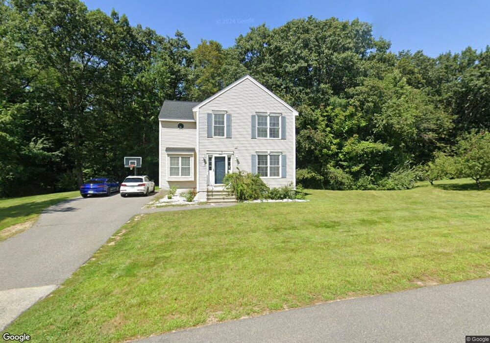
27 Peaslee Dr Pembroke, NH 03275
Suncook NeighborhoodEstimated Value: $512,000 - $574,000
3
Beds
3
Baths
1,864
Sq Ft
$297/Sq Ft
Est. Value
About This Home
This home is located at 27 Peaslee Dr, Pembroke, NH 03275 and is currently estimated at $553,140, approximately $296 per square foot. 27 Peaslee Dr is a home located in Merrimack County with nearby schools including Pembroke Hill School, Pembroke Village School, and Three Rivers School.
Ownership History
Date
Name
Owned For
Owner Type
Purchase Details
Closed on
Nov 25, 2009
Sold by
Page Alan R
Bought by
Mccann Richard D and Finch Amanda L
Current Estimated Value
Home Financials for this Owner
Home Financials are based on the most recent Mortgage that was taken out on this home.
Original Mortgage
$236,734
Outstanding Balance
$154,570
Interest Rate
4.92%
Mortgage Type
Purchase Money Mortgage
Estimated Equity
$398,570
Purchase Details
Closed on
Sep 27, 2005
Sold by
Hammer Barry J and Hammer Lisa C
Bought by
Page Alan R
Home Financials for this Owner
Home Financials are based on the most recent Mortgage that was taken out on this home.
Original Mortgage
$199,000
Interest Rate
5.92%
Mortgage Type
Purchase Money Mortgage
Purchase Details
Closed on
Sep 16, 2002
Sold by
One Line Eralty Dev
Bought by
Hammer Barry J and Hammer Lisa C
Create a Home Valuation Report for This Property
The Home Valuation Report is an in-depth analysis detailing your home's value as well as a comparison with similar homes in the area
Home Values in the Area
Average Home Value in this Area
Purchase History
| Date | Buyer | Sale Price | Title Company |
|---|---|---|---|
| Mccann Richard D | $232,000 | -- | |
| Page Alan R | $284,500 | -- | |
| Page Alan R | $284,500 | -- | |
| Hammer Barry J | $209,100 | -- |
Source: Public Records
Mortgage History
| Date | Status | Borrower | Loan Amount |
|---|---|---|---|
| Open | Hammer Barry J | $236,734 | |
| Closed | Hammer Barry J | $236,734 | |
| Previous Owner | Hammer Barry J | $25,000 | |
| Previous Owner | Page Alan R | $199,000 |
Source: Public Records
Tax History Compared to Growth
Tax History
| Year | Tax Paid | Tax Assessment Tax Assessment Total Assessment is a certain percentage of the fair market value that is determined by local assessors to be the total taxable value of land and additions on the property. | Land | Improvement |
|---|---|---|---|---|
| 2024 | $8,928 | $454,600 | $117,700 | $336,900 |
| 2023 | $8,213 | $294,600 | $78,600 | $216,000 |
| 2022 | $7,336 | $294,600 | $78,600 | $216,000 |
| 2021 | $7,070 | $294,600 | $78,600 | $216,000 |
| 2020 | $7,247 | $294,600 | $78,600 | $216,000 |
| 2019 | $6,947 | $294,600 | $78,600 | $216,000 |
| 2018 | $6,717 | $256,000 | $71,400 | $184,600 |
| 2017 | $7,619 | $256,000 | $71,400 | $184,600 |
| 2015 | $6,656 | $230,000 | $68,000 | $162,000 |
| 2014 | $6,831 | $230,000 | $68,000 | $162,000 |
| 2011 | $6,301 | $238,300 | $69,200 | $169,100 |
Source: Public Records
Map
Nearby Homes
- 347 Pembroke St
- 367 Pembroke St
- 16 S Browning Ct
- 10 Winchester Ct
- 424 Terrie Dr
- 43 Donna Dr
- 422 Deerpath Ln
- 259 Pembroke St
- 13 Ferry Rd
- 455 Carrie Ave
- 233 Pembroke St
- 224 Pembroke St
- 91 Whittemore Rd
- 230 Liberty Dr Unit B
- 458 Blane Cir Unit 43
- 464 Blane Cir Unit 42
- 452 Blane Cir Unit 45
- 441 Blane Cir Unit 12
- 492 Woodlawn Ridge Rd
- 8 Sky View Terrace
- 29 Peaslee Dr
- 28 Peaslee Dr
- 23 Peaslee Dr
- 24 Peaslee Dr
- 31 Peaslee Dr
- 21 Peaslee Dr
- 32 Peaslee Dr
- 18 Peaslee Dr
- 8 Peaslee Dr
- 19 Peaslee Dr
- 13 Peaslee Dr
- 17 Peaslee Dr
- 11 Peaslee Dr
- 352 Pembroke St
- 4 Peaslee Dr
- 7 Peaslee Dr
- 33 Sherwood Meadows
- 35 Sherwood Meadows
- 31 Sherwood Meadows
- 29 Sherwood Meadows