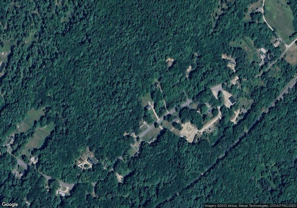
27 Prout Rd Freeport, ME 04032
Estimated Value: $555,850 - $600,000
3
Beds
2
Baths
1,870
Sq Ft
$307/Sq Ft
Est. Value
About This Home
This home is located at 27 Prout Rd, Freeport, ME 04032 and is currently estimated at $574,463, approximately $307 per square foot. 27 Prout Rd is a home located in Cumberland County with nearby schools including Morse Street School, Mast Landing School, and Freeport Middle School.
Ownership History
Date
Name
Owned For
Owner Type
Purchase Details
Closed on
Sep 16, 2008
Sold by
Hoyt Matthew A and Hoyt Alison A
Bought by
Annas Heather M
Current Estimated Value
Home Financials for this Owner
Home Financials are based on the most recent Mortgage that was taken out on this home.
Original Mortgage
$171,720
Outstanding Balance
$142,902
Interest Rate
6.58%
Mortgage Type
FHA
Estimated Equity
$431,561
Purchase Details
Closed on
Jun 29, 2005
Sold by
Karp John D and Bishop Heidi
Bought by
Hoyt Matthew A and Hoyt Alison A
Home Financials for this Owner
Home Financials are based on the most recent Mortgage that was taken out on this home.
Original Mortgage
$226,480
Interest Rate
5.73%
Mortgage Type
Purchase Money Mortgage
Create a Home Valuation Report for This Property
The Home Valuation Report is an in-depth analysis detailing your home's value as well as a comparison with similar homes in the area
Home Values in the Area
Average Home Value in this Area
Purchase History
| Date | Buyer | Sale Price | Title Company |
|---|---|---|---|
| Annas Heather M | -- | -- | |
| Hoyt Matthew A | -- | -- |
Source: Public Records
Mortgage History
| Date | Status | Borrower | Loan Amount |
|---|---|---|---|
| Open | Annas Heather M | $22,000 | |
| Open | Annas Heather M | $171,720 | |
| Previous Owner | Hoyt Matthew A | $226,480 |
Source: Public Records
Tax History
| Year | Tax Paid | Tax Assessment Tax Assessment Total Assessment is a certain percentage of the fair market value that is determined by local assessors to be the total taxable value of land and additions on the property. | Land | Improvement |
|---|---|---|---|---|
| 2025 | $5,047 | $364,400 | $125,300 | $239,100 |
| 2024 | $4,785 | $358,400 | $119,300 | $239,100 |
| 2023 | $4,344 | $315,900 | $108,500 | $207,400 |
| 2022 | $4,154 | $304,300 | $96,900 | $207,400 |
| 2021 | $4,062 | $304,300 | $96,900 | $207,400 |
| 2020 | $3,927 | $280,500 | $89,700 | $190,800 |
| 2019 | $3,777 | $264,100 | $84,600 | $179,500 |
| 2018 | $3,674 | $244,100 | $76,200 | $167,900 |
| 2017 | $3,512 | $234,900 | $74,700 | $160,200 |
| 2016 | $3,467 | $219,400 | $70,800 | $148,600 |
| 2015 | $3,515 | $209,200 | $68,300 | $140,900 |
Source: Public Records
Map
Nearby Homes
Your Personal Tour Guide
Ask me questions while you tour the home.