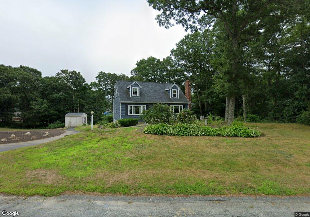
27 Pryer Dr Pocasset, MA 02559
Pocasset NeighborhoodEstimated Value: $570,681 - $610,000
3
Beds
2
Baths
1,296
Sq Ft
$454/Sq Ft
Est. Value
About This Home
This home is located at 27 Pryer Dr, Pocasset, MA 02559 and is currently estimated at $588,420, approximately $454 per square foot. 27 Pryer Dr is a home located in Barnstable County with nearby schools including Bourne High School, Cadence Academy Preschool - Bourne, and St Margaret Regional School.
Ownership History
Date
Name
Owned For
Owner Type
Purchase Details
Closed on
Nov 16, 2018
Sold by
Gay Rt and Gay
Bought by
Carol A Gay T A and Carol Gay
Current Estimated Value
Purchase Details
Closed on
Aug 9, 2010
Sold by
Gay John W and Gay Carol A
Bought by
Gay Carol A and Gay John W
Create a Home Valuation Report for This Property
The Home Valuation Report is an in-depth analysis detailing your home's value as well as a comparison with similar homes in the area
Home Values in the Area
Average Home Value in this Area
Purchase History
| Date | Buyer | Sale Price | Title Company |
|---|---|---|---|
| Carol A Gay T A | -- | -- | |
| Gay Carol A | -- | -- | |
| Gay Carol A | -- | -- |
Source: Public Records
Tax History Compared to Growth
Tax History
| Year | Tax Paid | Tax Assessment Tax Assessment Total Assessment is a certain percentage of the fair market value that is determined by local assessors to be the total taxable value of land and additions on the property. | Land | Improvement |
|---|---|---|---|---|
| 2025 | $3,579 | $458,300 | $194,400 | $263,900 |
| 2024 | $3,500 | $436,400 | $185,100 | $251,300 |
| 2023 | $3,400 | $385,900 | $163,800 | $222,100 |
| 2022 | $3,244 | $321,500 | $145,000 | $176,500 |
| 2021 | $3,153 | $292,800 | $132,000 | $160,800 |
| 2020 | $2,973 | $276,800 | $130,700 | $146,100 |
| 2019 | $2,835 | $269,700 | $130,700 | $139,000 |
| 2018 | $2,709 | $257,000 | $124,500 | $132,500 |
| 2017 | $2,621 | $254,500 | $123,300 | $131,200 |
| 2016 | $2,461 | $242,200 | $117,200 | $125,000 |
| 2015 | $2,439 | $242,200 | $117,200 | $125,000 |
Source: Public Records
Map
Nearby Homes
- 25 Pryer Dr
- 116 Barlows Landing Rd
- 29 Pryer Dr
- 112 Barlows Landing Rd
- 112 Barlows Landing Rd
- 26 Pryer Dr
- 4 Gunstock Cir
- 5 Gunstock Cir
- 28 Pryer Dr
- 24 Pryer Dr
- 108 Barlow
- 108 Barlows Landing Rd
- 30 Pryer Dr
- 22 Pryer Dr
- 3 5th St
- 104 Barlows Landing Rd
- 3 Gunstock Cir
- 130 Barlows Landing Rd
- 3 4th St
- 111 Barlows Landing Rd