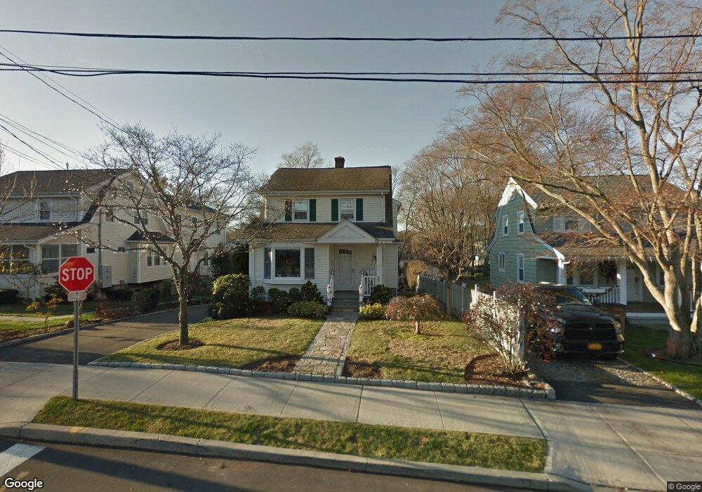
27 Randall Ave Stamford, CT 06905
Mid Ridge NeighborhoodEstimated Value: $930,115 - $989,000
4
Beds
3
Baths
2,854
Sq Ft
$337/Sq Ft
Est. Value
About This Home
This home is located at 27 Randall Ave, Stamford, CT 06905 and is currently estimated at $962,029, approximately $337 per square foot. 27 Randall Ave is a home located in Fairfield County with nearby schools including Stillmeadow Elementary School, Rippowam Middle School, and Westhill High School.
Ownership History
Date
Name
Owned For
Owner Type
Purchase Details
Closed on
Dec 20, 1993
Sold by
Pustari Richard
Bought by
Richards Windus and Richards Ruth
Current Estimated Value
Purchase Details
Closed on
Jun 16, 1987
Sold by
Pustari Wm
Bought by
Pustari Rich
Create a Home Valuation Report for This Property
The Home Valuation Report is an in-depth analysis detailing your home's value as well as a comparison with similar homes in the area
Home Values in the Area
Average Home Value in this Area
Purchase History
| Date | Buyer | Sale Price | Title Company |
|---|---|---|---|
| Richards Windus | $250,000 | -- | |
| Richards Windus | $250,000 | -- | |
| Pustari Rich | $70,000 | -- |
Source: Public Records
Mortgage History
| Date | Status | Borrower | Loan Amount |
|---|---|---|---|
| Open | Pustari Rich | $50,000 | |
| Closed | Pustari Rich | $400,000 | |
| Closed | Pustari Rich | $399,000 |
Source: Public Records
Tax History Compared to Growth
Tax History
| Year | Tax Paid | Tax Assessment Tax Assessment Total Assessment is a certain percentage of the fair market value that is determined by local assessors to be the total taxable value of land and additions on the property. | Land | Improvement |
|---|---|---|---|---|
| 2025 | $12,888 | $538,800 | $218,000 | $320,800 |
| 2024 | $12,586 | $538,800 | $218,000 | $320,800 |
| 2023 | $13,599 | $538,800 | $218,000 | $320,800 |
| 2022 | $11,437 | $420,960 | $174,440 | $246,520 |
| 2021 | $11,341 | $420,960 | $174,440 | $246,520 |
| 2020 | $11,092 | $420,960 | $174,440 | $246,520 |
| 2019 | $11,092 | $420,960 | $174,440 | $246,520 |
| 2018 | $10,747 | $420,960 | $174,440 | $246,520 |
| 2017 | $8,096 | $301,070 | $120,070 | $181,000 |
| 2016 | $7,864 | $301,070 | $120,070 | $181,000 |
| 2015 | $7,656 | $301,070 | $120,070 | $181,000 |
| 2014 | $7,464 | $301,070 | $120,070 | $181,000 |
Source: Public Records
Map
Nearby Homes
- 36 Old Barn Rd S
- 32 Locust Ln
- 2700 Bedford St Unit J
- 301 Hubbard Ave
- 19 Riverside Ave
- 217 Bridge St Unit E3
- 132 Old North Stamford Rd
- 2437 Bedford St Unit C13
- 2437 Bedford St Unit F20
- 2437 Bedford St Unit E6
- 2289 Bedford St Unit G18
- 2289 Bedford St Unit G17
- 2289 Bedford St Unit G11
- 2289 Bedford St Unit A6
- 354 Oaklawn Ave
- 1900 Summer St Unit 15
- 1856 Summer St Unit 1856
- 2435 Bedford St Unit 14C
- 1011 Stillwater Rd
- 51 4th St
- 27 Randall Ave Unit Front
- 23 Randall Ave
- 31 Randall Ave
- 31 Randall Ave Unit 2
- 31 Randall Ave Unit 1
- 31 Randall Ave Unit 1&2
- 17 Randall Ave
- 38 Richards Ave Unit D
- 35 Randall Ave
- 35 Randall Ave Unit B
- 35 Randall Ave Unit A
- 32 Paragon Ln
- 15 Randall Ave
- 15 Randall Ave Unit 2
- 29 Richards Ave
- 28 Paragon Ln
- 28 Paragon Ln Unit 1ST F
- 28 Paragon Ln Unit 1st Fl
- 26 Richards Ave
- 48 Randall Ave Unit 7